2416 Caneridge Pointe SW Marietta, GA 30064
Estimated Value: $494,000 - $532,000
4
Beds
3
Baths
3,081
Sq Ft
$165/Sq Ft
Est. Value
About This Home
This home is located at 2416 Caneridge Pointe SW, Marietta, GA 30064 and is currently estimated at $508,294, approximately $164 per square foot. 2416 Caneridge Pointe SW is a home located in Cobb County with nearby schools including Dowell Elementary School, Lovinggood Middle School, and Hillgrove High School.
Ownership History
Date
Name
Owned For
Owner Type
Purchase Details
Closed on
Jun 14, 1999
Sold by
Jamison Larry J
Bought by
Jamison Larry J and Jamison Barbara J
Current Estimated Value
Home Financials for this Owner
Home Financials are based on the most recent Mortgage that was taken out on this home.
Original Mortgage
$186,030
Outstanding Balance
$48,425
Interest Rate
7.13%
Mortgage Type
New Conventional
Estimated Equity
$459,869
Create a Home Valuation Report for This Property
The Home Valuation Report is an in-depth analysis detailing your home's value as well as a comparison with similar homes in the area
Home Values in the Area
Average Home Value in this Area
Purchase History
| Date | Buyer | Sale Price | Title Company |
|---|---|---|---|
| Jamison Larry J | -- | -- | |
| Jamison Larry J | $182,400 | -- |
Source: Public Records
Mortgage History
| Date | Status | Borrower | Loan Amount |
|---|---|---|---|
| Open | Jamison Larry J | $186,030 |
Source: Public Records
Tax History Compared to Growth
Tax History
| Year | Tax Paid | Tax Assessment Tax Assessment Total Assessment is a certain percentage of the fair market value that is determined by local assessors to be the total taxable value of land and additions on the property. | Land | Improvement |
|---|---|---|---|---|
| 2025 | $1,460 | $189,188 | $16,000 | $173,188 |
| 2024 | $1,565 | $189,188 | $16,000 | $173,188 |
| 2023 | $1,327 | $189,188 | $16,000 | $173,188 |
| 2022 | $1,341 | $162,992 | $16,000 | $146,992 |
| 2021 | $524 | $124,832 | $14,000 | $110,832 |
| 2020 | $2,707 | $106,540 | $14,000 | $92,540 |
| 2019 | $2,536 | $98,720 | $14,000 | $84,720 |
| 2018 | $2,536 | $98,720 | $14,000 | $84,720 |
| 2017 | $2,311 | $93,184 | $14,000 | $79,184 |
| 2016 | $2,152 | $85,904 | $14,000 | $71,904 |
| 2015 | $1,878 | $72,596 | $14,100 | $58,496 |
| 2014 | $1,894 | $72,596 | $0 | $0 |
Source: Public Records
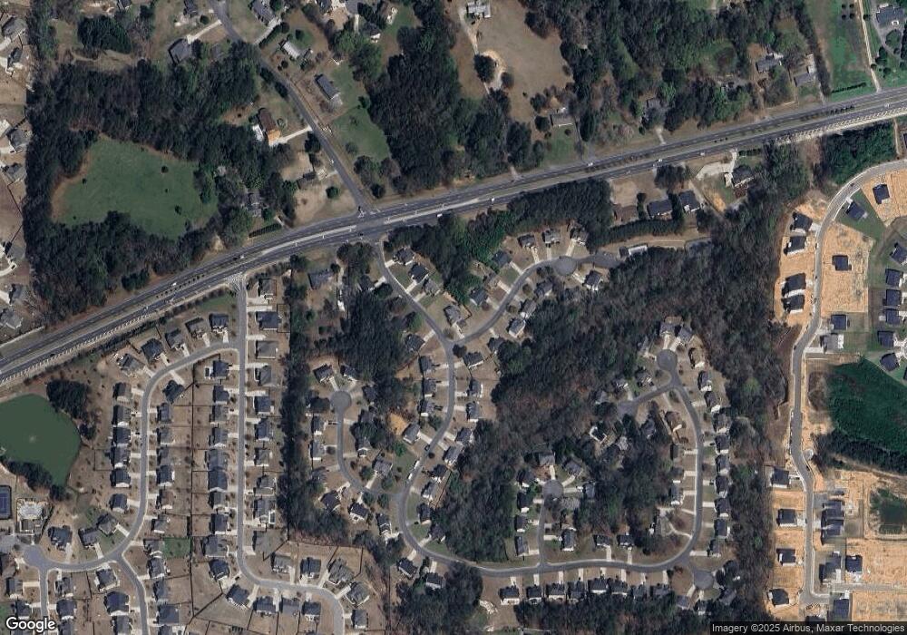
Map
Nearby Homes
- 2409 Caneridge Point SW
- 2117 Caneridge Dr SW
- 2146 Caneridge Dr SW
- 2040 Freestone Way
- 2009 Freestone Way
- 2126 Green Dr SW
- 1985 Freestone Way
- 2166 Derbyshire Dr SW
- Monteluce Plan at Freestone Station
- Hillside Plan at Freestone Station
- Oakshire Plan at Freestone Station
- Hendricks Plan at Freestone Station
- Hedgerow Plan at Freestone Station
- Antioch Plan at Freestone Station
- 1952 Freestone Way
- 1976 Grove Field Ln
- 1976 Grove Field Ln Unit BLDG 33
- 1946 MacLand Rd SW
- 2415 Bankstone Dr SW
- 2268 Grove Valley Way Unit 9
- 2414 Caneridge Pointe SW Unit 1
- 2105 Caneridge Dr SW
- 2105 Caneridge Dr SW Unit 1
- 2108 Caneridge Dr SW Unit 1
- 2111 Caneridge Dr SW Unit 1
- 2412 Caneridge Pointe SW
- 2415 Caneridge Pointe SW
- 2110 Caneridge Dr SW Unit I
- 2103 Caneridge Dr SW Unit 1
- 2106 Caneridge Dr SW Unit 1
- 2413 Caneridge Point SW Unit 1
- 2104 Caneridge Dr SW
- 2411 Caneridge Point SW
- 2410 Caneridge Point SW
- 2113 Caneridge Dr SW
- 2101 Caneridge Dr SW Unit 1
- 2112 Caneridge Dr SW
- 2410 Caneridge Pointe SW
- 2409 Caneridge Pointe SW