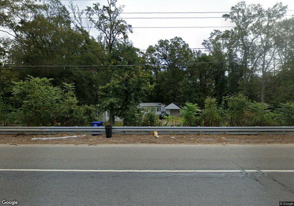
2418 Route 206 Southampton, NJ 08088
Estimated Value: $142,663 - $251,000
--
Bed
--
Bath
945
Sq Ft
$193/Sq Ft
Est. Value
About This Home
This home is located at 2418 Route 206, Southampton, NJ 08088 and is currently estimated at $182,666, approximately $193 per square foot. 2418 Route 206 is a home located in Burlington County with nearby schools including Southampton Twp School No 1, Southampton Twp School No 2, and Southampton Twp School No 3.
Ownership History
Date
Name
Owned For
Owner Type
Purchase Details
Closed on
Dec 16, 2022
Sold by
Jones Michael
Bought by
White Turquoise
Current Estimated Value
Home Financials for this Owner
Home Financials are based on the most recent Mortgage that was taken out on this home.
Original Mortgage
$112,917
Interest Rate
6.33%
Mortgage Type
FHA
Purchase Details
Closed on
Apr 2, 2009
Sold by
Jones Gloria S
Bought by
Jones Michael
Create a Home Valuation Report for This Property
The Home Valuation Report is an in-depth analysis detailing your home's value as well as a comparison with similar homes in the area
Home Values in the Area
Average Home Value in this Area
Purchase History
| Date | Buyer | Sale Price | Title Company |
|---|---|---|---|
| White Turquoise | $115,000 | Fidelity National Title | |
| Jones Michael | -- | Assembly Title |
Source: Public Records
Mortgage History
| Date | Status | Borrower | Loan Amount |
|---|---|---|---|
| Previous Owner | White Turquoise | $112,917 |
Source: Public Records
Tax History Compared to Growth
Tax History
| Year | Tax Paid | Tax Assessment Tax Assessment Total Assessment is a certain percentage of the fair market value that is determined by local assessors to be the total taxable value of land and additions on the property. | Land | Improvement |
|---|---|---|---|---|
| 2025 | $2,237 | $67,800 | $38,500 | $29,300 |
| 2024 | $2,154 | $67,800 | $38,500 | $29,300 |
| 2023 | $2,154 | $67,800 | $38,500 | $29,300 |
| 2022 | $2,078 | $67,800 | $38,500 | $29,300 |
| 2021 | $2,033 | $67,800 | $38,500 | $29,300 |
| 2020 | $1,988 | $67,800 | $38,500 | $29,300 |
| 2019 | $1,945 | $67,800 | $38,500 | $29,300 |
| 2018 | $1,900 | $67,800 | $38,500 | $29,300 |
| 2017 | $1,907 | $67,800 | $38,500 | $29,300 |
| 2016 | $1,866 | $67,800 | $38,500 | $29,300 |
| 2015 | $1,807 | $67,800 | $38,500 | $29,300 |
| 2014 | $1,743 | $67,800 | $38,500 | $29,300 |
Source: Public Records
Map
Nearby Homes
- 2405 Route 206
- 38 North Rd
- 59 Estates Dr
- 6 Mulberry Ln
- 1 Nelson's Way
- 331 Birmingham Rd
- 335 Birmingham Rd
- The Laurelton Plan at East Gate at Wexford
- The Marigold Plan at East Gate at Wexford
- The Ashton Plan at East Gate at Wexford
- The Oakton Plan at East Gate at Wexford
- 001 Fieldstone Dr
- 176 S Pemberton Rd
- 68 Brandywine Rd
- 11 Suffolk Ct
- 48 Tower Blvd
- 18 Kingsley Rd
- 184 Star Dr
- 18 Paducah Rd
- 3 Coliseum Dr
- 2418 Route 206 Unit 2420 C
- 13 Rancocas Trail
- 2416 Route 206
- 2416 Route 206 Unit 2420 A
- 15 Rancocas Trail
- 2411 Route 206 Unit 3 FIR
- 2411 Route 206
- 14 Creek Ln
- 2 Fir Ln
- 12 Fir Ln
- 2420 Route 206 Unit G
- 2420 Route 206 Unit I
- 2420 Route 206 Unit E
- 2420 Route 206 Unit H
- 2420 Route 206 Unit D
- 2420 Route 206
- 14 Rancocas Trail
- 16 Creek Ln
- 8 Rancocas Trail
- 4 Rancocas Trail