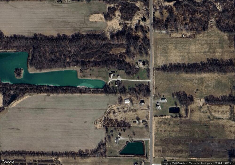
2419 Alliance Rd Deerfield, OH 44411
Estimated Value: $230,885 - $285,000
3
Beds
1
Bath
1,200
Sq Ft
$215/Sq Ft
Est. Value
About This Home
This home is located at 2419 Alliance Rd, Deerfield, OH 44411 and is currently estimated at $257,628, approximately $214 per square foot. 2419 Alliance Rd is a home located in Portage County with nearby schools including Waterloo Elementary School, Waterloo Middle School, and Waterloo High School.
Ownership History
Date
Name
Owned For
Owner Type
Purchase Details
Closed on
Apr 12, 2007
Sold by
Penny Dianna and Penny Robert
Bought by
Penny Robert and Penny Dianna
Current Estimated Value
Home Financials for this Owner
Home Financials are based on the most recent Mortgage that was taken out on this home.
Original Mortgage
$37,900
Outstanding Balance
$4,985
Interest Rate
6.21%
Mortgage Type
Stand Alone Second
Estimated Equity
$252,643
Purchase Details
Closed on
Jan 1, 1990
Bought by
Penny Dianna
Create a Home Valuation Report for This Property
The Home Valuation Report is an in-depth analysis detailing your home's value as well as a comparison with similar homes in the area
Home Values in the Area
Average Home Value in this Area
Purchase History
| Date | Buyer | Sale Price | Title Company |
|---|---|---|---|
| Penny Robert | -- | Title Source Inc | |
| Penny Dianna | -- | -- |
Source: Public Records
Mortgage History
| Date | Status | Borrower | Loan Amount |
|---|---|---|---|
| Open | Penny Robert | $37,900 |
Source: Public Records
Tax History Compared to Growth
Tax History
| Year | Tax Paid | Tax Assessment Tax Assessment Total Assessment is a certain percentage of the fair market value that is determined by local assessors to be the total taxable value of land and additions on the property. | Land | Improvement |
|---|---|---|---|---|
| 2024 | $2,558 | $69,760 | $21,250 | $48,510 |
| 2023 | $2,205 | $51,880 | $13,690 | $38,190 |
| 2022 | $2,260 | $51,880 | $13,690 | $38,190 |
| 2021 | $2,235 | $51,880 | $13,690 | $38,190 |
| 2020 | $2,031 | $45,510 | $13,690 | $31,820 |
| 2019 | $2,033 | $45,510 | $13,690 | $31,820 |
| 2018 | $1,996 | $44,280 | $12,570 | $31,710 |
| 2017 | $2,025 | $44,280 | $12,570 | $31,710 |
| 2016 | $2,020 | $44,280 | $12,570 | $31,710 |
| 2015 | $2,074 | $44,280 | $12,570 | $31,710 |
| 2014 | $2,136 | $44,280 | $12,570 | $31,710 |
| 2013 | $2,083 | $44,280 | $12,570 | $31,710 |
Source: Public Records
Map
Nearby Homes
- 2171 Alliance Rd
- 2880 State Route 14
- 1440 Porter Rd
- 0 Ohio 14
- 2953 State Route 225
- 1731 Ohio 225
- 1864 State Route 225
- 3363 State Route 183
- V/L State Route 225
- 6747 Giddings Rd
- 6640 Giddings Rd
- 7392 Tallmadge Rd
- 6727 Waterloo Rd
- 3609 State Route 225
- 3642 State Route 225
- 2332 McClintocksburg Rd
- 1060 State Route 14
- 9408 Tallmadge Rd
- 0 Ohio 225 Unit 5151977
- 9663 Berlin Heights Dr
- 2395 Alliance Rd
- 2443 Alliance Rd
- 2369 Alliance Rd
- 2345 Alliance Rd
- 2488 Alliance Rd
- 2312 Alliance Rd
- 2300 Alliance Rd
- State Route 14
- 0 V L Alliance Rd Unit 4430846
- V/L Alliance Rd
- 2255 Alliance Rd
- 2241 Alliance Rd
- 2601 Alliance Rd
- 2608 Alliance Rd
- 2593 State Route 14
- 2211 Alliance Rd
- 2212 Alliance Rd
- 2264 Alliance Rd
- 2632 Alliance Rd
- 2547 State Route 14
