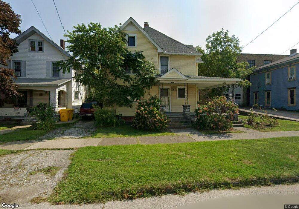
242 Buffalo St Conneaut, OH 44030
Estimated Value: $90,284 - $113,000
4
Beds
2
Baths
2,212
Sq Ft
$45/Sq Ft
Est. Value
About This Home
This home is located at 242 Buffalo St, Conneaut, OH 44030 and is currently estimated at $99,071, approximately $44 per square foot. 242 Buffalo St is a home located in Ashtabula County with nearby schools including Lakeshore Primary Elementary School, Gateway Elementary School, and Conneaut Middle School.
Ownership History
Date
Name
Owned For
Owner Type
Purchase Details
Closed on
Jun 25, 2024
Sold by
Skestos Jason J
Bought by
Skestos Kathleen R
Current Estimated Value
Purchase Details
Closed on
Jul 21, 2006
Sold by
Carberry Raymond E and Carberry Pauline M
Bought by
Skestos Jason and Skestos Kathleen
Purchase Details
Closed on
Dec 7, 2005
Sold by
Carberry Raymond E and Carberry Pauline M
Bought by
Skestos Jason and Skestos Kathleen
Create a Home Valuation Report for This Property
The Home Valuation Report is an in-depth analysis detailing your home's value as well as a comparison with similar homes in the area
Home Values in the Area
Average Home Value in this Area
Purchase History
| Date | Buyer | Sale Price | Title Company |
|---|---|---|---|
| Skestos Kathleen R | -- | None Listed On Document | |
| Skestos Jason | -- | None Available | |
| Skestos Jason | -- | None Available |
Source: Public Records
Tax History Compared to Growth
Tax History
| Year | Tax Paid | Tax Assessment Tax Assessment Total Assessment is a certain percentage of the fair market value that is determined by local assessors to be the total taxable value of land and additions on the property. | Land | Improvement |
|---|---|---|---|---|
| 2024 | $1,618 | $22,120 | $2,450 | $19,670 |
| 2023 | $1,050 | $22,120 | $2,450 | $19,670 |
| 2022 | $920 | $17,050 | $1,890 | $15,160 |
| 2021 | $936 | $17,050 | $1,890 | $15,160 |
| 2020 | $935 | $17,050 | $1,890 | $15,160 |
| 2019 | $766 | $13,690 | $1,720 | $11,970 |
| 2018 | $731 | $13,690 | $1,720 | $11,970 |
| 2017 | $857 | $13,690 | $1,720 | $11,970 |
| 2016 | $974 | $19,950 | $2,520 | $17,430 |
| 2015 | $984 | $19,950 | $2,520 | $17,430 |
| 2014 | $1,736 | $19,950 | $2,520 | $17,430 |
| 2013 | $823 | $19,390 | $3,570 | $15,820 |
Source: Public Records
Map
Nearby Homes
- 289 Harbor St
- 284 Clay St
- 146 Nickle Plate Ave
- 402 Broad St
- 455 Main St
- 408 Broad State Rd 7 St
- 386 Washington St
- 179 Marshall St
- 459 Mill St
- 251 St Rt 7
- 413 Harbor St
- 429 Depot St
- 427 Harbor St
- 536 Madison St
- 179 Hayward Ave
- 375 Bliss Ave
- 536 Mill St
- 405 Bliss Ave
- 589 Main St
- 0 Chestnut St Unit 5120761