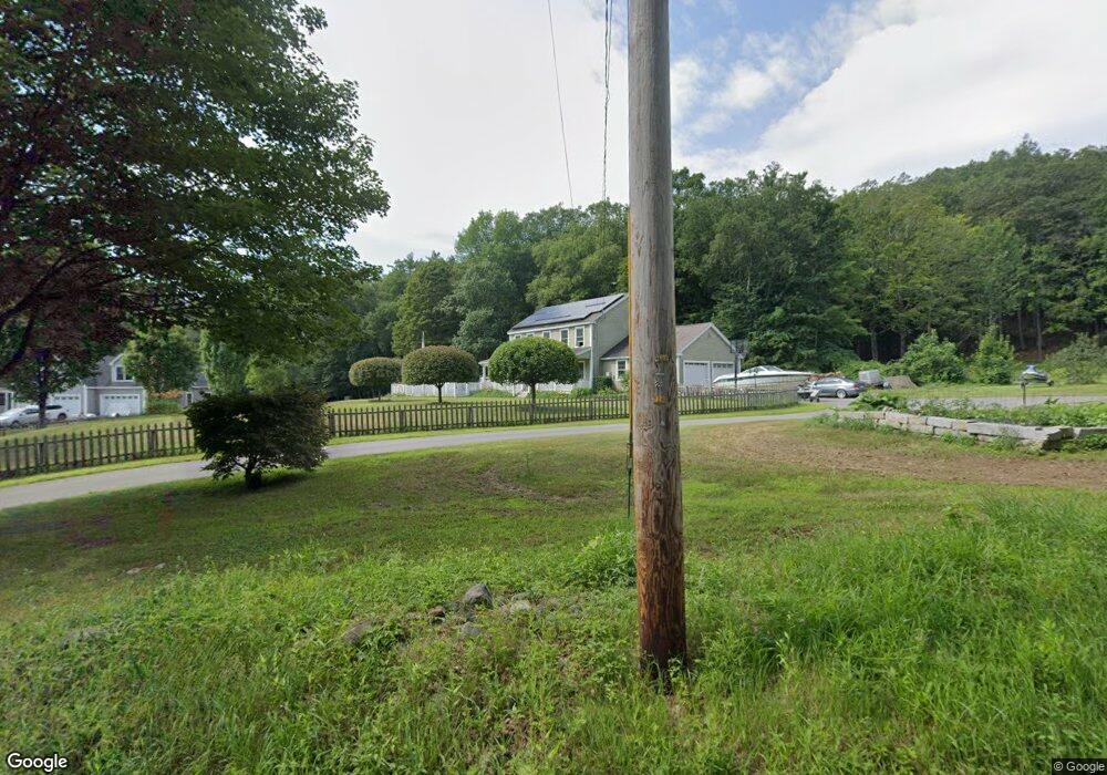
242 Couch Brook Rd Bernardston, MA 01337
Estimated Value: $477,000 - $577,000
3
Beds
3
Baths
2,240
Sq Ft
$234/Sq Ft
Est. Value
About This Home
This home is located at 242 Couch Brook Rd, Bernardston, MA 01337 and is currently estimated at $523,317, approximately $233 per square foot. 242 Couch Brook Rd is a home located in Franklin County with nearby schools including Pioneer Valley Regional.
Ownership History
Date
Name
Owned For
Owner Type
Purchase Details
Closed on
Sep 28, 2006
Sold by
Cersosimo Ind Inc
Bought by
Seaman Eric D and Seaman Kristin M
Current Estimated Value
Home Financials for this Owner
Home Financials are based on the most recent Mortgage that was taken out on this home.
Original Mortgage
$270,000
Outstanding Balance
$159,980
Interest Rate
6.52%
Mortgage Type
Purchase Money Mortgage
Estimated Equity
$363,337
Create a Home Valuation Report for This Property
The Home Valuation Report is an in-depth analysis detailing your home's value as well as a comparison with similar homes in the area
Home Values in the Area
Average Home Value in this Area
Purchase History
| Date | Buyer | Sale Price | Title Company |
|---|---|---|---|
| Seaman Eric D | $320,000 | -- | |
| Seaman Eric D | $320,000 | -- |
Source: Public Records
Mortgage History
| Date | Status | Borrower | Loan Amount |
|---|---|---|---|
| Closed | Seaman Eric D | $20,000 | |
| Closed | Seaman Eric D | $20,000 | |
| Open | Seaman Eric D | $270,000 | |
| Closed | Seaman Eric D | $270,000 |
Source: Public Records
Tax History Compared to Growth
Tax History
| Year | Tax Paid | Tax Assessment Tax Assessment Total Assessment is a certain percentage of the fair market value that is determined by local assessors to be the total taxable value of land and additions on the property. | Land | Improvement |
|---|---|---|---|---|
| 2025 | $6,300 | $441,500 | $41,300 | $400,200 |
| 2024 | $6,696 | $409,800 | $41,300 | $368,500 |
| 2023 | $6,593 | $412,300 | $38,200 | $374,100 |
| 2022 | $6,455 | $375,300 | $34,700 | $340,600 |
| 2021 | $5,937 | $319,700 | $29,400 | $290,300 |
| 2020 | $5,711 | $307,200 | $29,400 | $277,800 |
| 2019 | $5,552 | $282,700 | $29,400 | $253,300 |
| 2018 | $5,652 | $276,100 | $29,800 | $246,300 |
| 2017 | $5,188 | $262,300 | $29,800 | $232,500 |
| 2016 | $5,104 | $262,300 | $29,800 | $232,500 |
| 2015 | $4,920 | $264,800 | $35,000 | $229,800 |
Source: Public Records
Map
Nearby Homes
- Lot 9 Fox Hill Rd (Off)
- 704 Brattleboro Rd
- 56 Brattleboro Rd
- 775 Brattleboro Rd
- 539 Fox Hill Rd
- 180 Bald Mountain Rd
- 75 South St Unit 3
- 1 Northfield Rd
- 23 Industrial Dr
- 59 River St
- 319 Greenfield Rd
- 47 Cross St
- 218 Greenfield Rd
- 83 Eden Trail Branch
- 430 Huckle Hill Rd
- 430 Hucklehill Rd
- 31 Lovers Ln
- 27 Lunt Dr
- 001 Adams Rd
- Lot 12 Central Park Estates
- 232 Couch Brook Rd
- 248 Couch Brook Rd
- 224 Couch Brook Rd
- 260 Couch Brook Rd
- 214 Couch Brook Rd
- 207 Couch Brook Rd
- 24 Haigis Branch Rd
- 241 Couch Brook Rd
- 199 Couch Brook Rd
- 40 Haigis Branch Rd
- 276 Couch Brook Rd
- 0 Off Couch Brook Rd Unit 70674856
- 210 Couch Brook Rd
- 23 Haigis Branch Rd
- 24 Haigis Rd
- 208 Couch Brook Rd
- 0 (148) Couch Brook Rd
- 184 Couch Brook Rd
- 0 Couch Brook Rd
- 148 Couch Brook Rd