242 Dunbarton Ct Unit 13 Kalamazoo, MI 49006
Westwood NeighborhoodEstimated Value: $166,303 - $182,000
2
Beds
3
Baths
1,304
Sq Ft
$134/Sq Ft
Est. Value
About This Home
This home is located at 242 Dunbarton Ct Unit 13, Kalamazoo, MI 49006 and is currently estimated at $175,326, approximately $134 per square foot. 242 Dunbarton Ct Unit 13 is a home located in Kalamazoo County with nearby schools including Northglade Montessori School, Linden Grove Middle School, and Kalamazoo Central High School.
Ownership History
Date
Name
Owned For
Owner Type
Purchase Details
Closed on
Sep 29, 2011
Sold by
Lavoy Mary A
Bought by
Delisle Andre T and Delisle Mark A
Current Estimated Value
Purchase Details
Closed on
Jan 30, 2004
Sold by
Johnson Arline B and Johnson William T
Bought by
Lavoy Mary A
Create a Home Valuation Report for This Property
The Home Valuation Report is an in-depth analysis detailing your home's value as well as a comparison with similar homes in the area
Home Values in the Area
Average Home Value in this Area
Purchase History
| Date | Buyer | Sale Price | Title Company |
|---|---|---|---|
| Delisle Andre T | $64,329 | Chicago Title | |
| Lavoy Mary A | $87,450 | Metro |
Source: Public Records
Tax History Compared to Growth
Tax History
| Year | Tax Paid | Tax Assessment Tax Assessment Total Assessment is a certain percentage of the fair market value that is determined by local assessors to be the total taxable value of land and additions on the property. | Land | Improvement |
|---|---|---|---|---|
| 2025 | $2,320 | $82,500 | $0 | $0 |
| 2024 | $461 | $78,400 | $0 | $0 |
| 2023 | $439 | $70,300 | $0 | $0 |
| 2022 | $2,102 | $56,800 | $0 | $0 |
| 2021 | $1,967 | $53,900 | $0 | $0 |
| 2020 | $1,938 | $49,600 | $0 | $0 |
| 2019 | $1,854 | $45,200 | $0 | $0 |
| 2018 | $1,810 | $39,700 | $0 | $0 |
| 2017 | $0 | $39,700 | $0 | $0 |
| 2016 | -- | $36,100 | $0 | $0 |
| 2015 | -- | $34,500 | $0 | $0 |
| 2014 | -- | $34,400 | $0 | $0 |
Source: Public Records
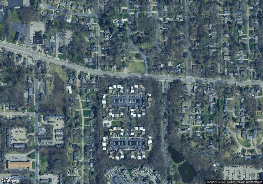
Map
Nearby Homes
- 141 Selkirk Ct Unit 103
- 113 Inverness Ct Unit C
- 438 Wealthy St
- 224 W Westwood Dr
- 2727 Olney Rd
- 809 Jenks Blvd
- 902 Coolidge Ave
- 511 Campbell Ave
- 4146 Corvo
- 1904 W North St
- 130 S Clarendon St
- 134 S Clarendon St
- 109 N Berkley St
- 545 N Berkley St
- 1113 Nichols Rd
- 520 S Kendall Ave
- 2431 Hillsdale Ave
- 3421 Devonshire Ave
- 3526 Alianca Terrace
- 1617 Jefferson Ave
- 244 Dunbarton Ct
- 240 Dunbarton Ct
- 246 Dunbarton Ct
- 246 Dunbarton Ct Unit 11
- 238 Falkirk Ct
- 248 Dunbarton Ct
- 248 Dunbarton Ct Unit 10
- 236 Falkirk Ct
- 236 Falkirk Ct Unit 16
- 234 Falkirk Ct
- 260 Dunbarton Ct Unit 1
- 232 Falkirk Ct Unit D
- 232 Falkirk Ct Unit B
- 232 Falkirk Ct Unit C
- 232 Falkirk Ct Unit A
- 232 Falkirk Ct
- 250 Dunbarton Ct Unit D
- 250 Dunbarton Ct Unit B
- 250 Dunbarton Ct Unit C
- 250 Dunbarton Ct Unit A