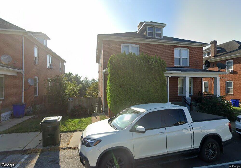
242 Hager St Hagerstown, MD 21740
Central NeighborhoodEstimated Value: $176,887 - $226,000
--
Bed
1
Bath
1,384
Sq Ft
$144/Sq Ft
Est. Value
About This Home
This home is located at 242 Hager St, Hagerstown, MD 21740 and is currently estimated at $199,722, approximately $144 per square foot. 242 Hager St is a home located in Washington County with nearby schools including Bester Elementary School, E. Russell Hicks Middle School, and South Hagerstown High School.
Ownership History
Date
Name
Owned For
Owner Type
Purchase Details
Closed on
Apr 30, 2004
Sold by
Kelly Darrell Wayne
Bought by
Fisher Stephen P
Current Estimated Value
Purchase Details
Closed on
Dec 19, 2002
Sold by
Lehman John H and Lehman Sumitra S
Bought by
Kelly Darrell Wayne
Purchase Details
Closed on
May 31, 1991
Sold by
Tritapoe Julia R
Bought by
Lehman John H and Lehman Sumitra S
Home Financials for this Owner
Home Financials are based on the most recent Mortgage that was taken out on this home.
Original Mortgage
$65,000
Interest Rate
9.45%
Create a Home Valuation Report for This Property
The Home Valuation Report is an in-depth analysis detailing your home's value as well as a comparison with similar homes in the area
Home Values in the Area
Average Home Value in this Area
Purchase History
| Date | Buyer | Sale Price | Title Company |
|---|---|---|---|
| Fisher Stephen P | $119,900 | -- | |
| Kelly Darrell Wayne | $92,900 | -- | |
| Lehman John H | $65,000 | -- |
Source: Public Records
Mortgage History
| Date | Status | Borrower | Loan Amount |
|---|---|---|---|
| Previous Owner | Lehman John H | $65,000 | |
| Closed | Kelly Darrell Wayne | -- |
Source: Public Records
Tax History Compared to Growth
Tax History
| Year | Tax Paid | Tax Assessment Tax Assessment Total Assessment is a certain percentage of the fair market value that is determined by local assessors to be the total taxable value of land and additions on the property. | Land | Improvement |
|---|---|---|---|---|
| 2025 | $833 | $127,700 | $24,100 | $103,600 |
| 2024 | $833 | $112,467 | $0 | $0 |
| 2023 | $789 | $97,233 | $0 | $0 |
| 2022 | $747 | $82,000 | $24,100 | $57,900 |
| 2021 | $763 | $82,000 | $24,100 | $57,900 |
| 2020 | $763 | $82,000 | $24,100 | $57,900 |
| 2019 | $786 | $84,100 | $24,100 | $60,000 |
| 2018 | $786 | $84,100 | $24,100 | $60,000 |
| 2017 | $786 | $84,100 | $0 | $0 |
| 2016 | -- | $86,000 | $0 | $0 |
| 2015 | -- | $86,000 | $0 | $0 |
| 2014 | $1,587 | $86,000 | $0 | $0 |
Source: Public Records
Map
Nearby Homes
- 0 Frederick St
- 145 King St
- 0 Hagers Ct Unit MDWA2031642
- 360 S Cannon Ave
- 112 S Cannon Ave
- 329 Antietam E
- 535 Frederick St
- 200 E Antietam St
- 123 1/2 S Locust St
- 16 S Mulberry St
- 262 S Potomac St
- 360 S Cleveland Ave
- 300 S Cleveland Ave
- 228 E Washington St
- 25 S Locust St
- 51 N Cannon Ave
- 329 South St
- 205 S Potomac St
- 703-705 Mt Aetna Rd
- 312 E Franklin St