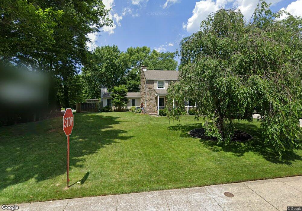
242 Lowrys Ln Bryn Mawr, PA 19010
Estimated Value: $935,000 - $1,366,000
4
Beds
4
Baths
2,646
Sq Ft
$430/Sq Ft
Est. Value
About This Home
This home is located at 242 Lowrys Ln, Bryn Mawr, PA 19010 and is currently estimated at $1,136,657, approximately $429 per square foot. 242 Lowrys Ln is a home located in Delaware County with nearby schools including Radnor El School, Radnor Middle School, and Radnor Senior High School.
Ownership History
Date
Name
Owned For
Owner Type
Purchase Details
Closed on
Nov 16, 2004
Sold by
Chain Raymond B
Bought by
Chain Raymond B and Chain Carol
Current Estimated Value
Home Financials for this Owner
Home Financials are based on the most recent Mortgage that was taken out on this home.
Original Mortgage
$245,000
Interest Rate
5.69%
Mortgage Type
Stand Alone Refi Refinance Of Original Loan
Create a Home Valuation Report for This Property
The Home Valuation Report is an in-depth analysis detailing your home's value as well as a comparison with similar homes in the area
Home Values in the Area
Average Home Value in this Area
Purchase History
| Date | Buyer | Sale Price | Title Company |
|---|---|---|---|
| Chain Raymond B | -- | -- |
Source: Public Records
Mortgage History
| Date | Status | Borrower | Loan Amount |
|---|---|---|---|
| Closed | Chain Raymond B | $245,000 |
Source: Public Records
Tax History Compared to Growth
Tax History
| Year | Tax Paid | Tax Assessment Tax Assessment Total Assessment is a certain percentage of the fair market value that is determined by local assessors to be the total taxable value of land and additions on the property. | Land | Improvement |
|---|---|---|---|---|
| 2025 | $12,752 | $630,700 | $154,870 | $475,830 |
| 2024 | $12,752 | $630,700 | $154,870 | $475,830 |
| 2023 | $12,246 | $630,700 | $154,870 | $475,830 |
| 2022 | $12,113 | $630,700 | $154,870 | $475,830 |
| 2021 | $19,456 | $630,700 | $154,870 | $475,830 |
| 2020 | $8,986 | $258,300 | $92,710 | $165,590 |
| 2019 | $8,732 | $258,300 | $92,710 | $165,590 |
| 2018 | $8,561 | $258,300 | $0 | $0 |
| 2017 | $8,382 | $258,300 | $0 | $0 |
| 2016 | $1,418 | $258,300 | $0 | $0 |
| 2015 | $1,446 | $258,300 | $0 | $0 |
| 2014 | $1,418 | $258,300 | $0 | $0 |
Source: Public Records
Map
Nearby Homes
- 189 Meredith Ave
- 219 S Ithan Ave
- 131 Fairfax Rd
- 7 Lockwood Ln
- 4 Lockwood Ln
- 68 Garrett Ave
- 3 Lockwood Ln
- 200 S Ithan Ave
- 12 Chalous Ln
- 12 Lockwood Ln
- 15 Lockwood Ln
- 406 Barclay Rd
- 1030 E Lancaster Ave Unit 216
- 1030 E Lancaster Ave Unit 702
- 1030 E Lancaster Ave Unit 923
- 215 Cornell Dr
- 390 S Bryn Mawr Ave
- 101 Highfield Rd
- 100 Radnor Ave
- 28 S Warner Ave
- 801 Conestoga Rd Unit B12
- 771 Conestoga Rd
- 240 Lowrys Ln
- 767 Conestoga Rd
- 6 Meadowood Rd
- 102 Barcladen Rd
- 108 Barcladen Rd
- 114 Barcladen Rd
- 8 Meadowood Rd
- 120 Barcladen Rd
- 303 Strathmore Dr
- 126 Barcladen Rd
- 10 Meadowood Rd
- 128 Barcladen Rd
- 107 Barcladen Rd
- 101 Barcladen Rd
- 310 Strathmore Dr
- 130 Barcladen Rd
- 115 Barcladen Rd
- 247 Lowrys Ln