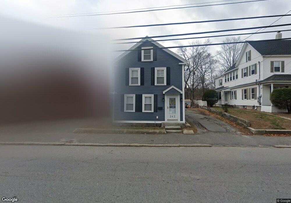
242 Mammoth Rd Lowell, MA 01854
Pawtucketville NeighborhoodEstimated Value: $493,000 - $592,000
3
Beds
2
Baths
2,179
Sq Ft
$249/Sq Ft
Est. Value
About This Home
This home is located at 242 Mammoth Rd, Lowell, MA 01854 and is currently estimated at $543,331, approximately $249 per square foot. 242 Mammoth Rd is a home located in Middlesex County with nearby schools including Joseph McAvinnue Elementary School, Charlotte M. Murkland Elementary School, and Charles W. Morey Elementary School.
Ownership History
Date
Name
Owned For
Owner Type
Purchase Details
Closed on
Jul 16, 2003
Sold by
Benn Christopher E and Benn Heather M
Bought by
Pickard Richard and Kefaleas Sophia
Current Estimated Value
Home Financials for this Owner
Home Financials are based on the most recent Mortgage that was taken out on this home.
Original Mortgage
$228,070
Outstanding Balance
$97,548
Interest Rate
5.34%
Mortgage Type
Purchase Money Mortgage
Estimated Equity
$445,783
Purchase Details
Closed on
Apr 18, 2001
Sold by
Mccabe Rita F and Sullivan Rita F
Bought by
Benn Christopher E and Benn Heather M
Create a Home Valuation Report for This Property
The Home Valuation Report is an in-depth analysis detailing your home's value as well as a comparison with similar homes in the area
Home Values in the Area
Average Home Value in this Area
Purchase History
| Date | Buyer | Sale Price | Title Company |
|---|---|---|---|
| Pickard Richard | $229,900 | -- | |
| Pickard Richard | $229,900 | -- | |
| Benn Christopher E | $162,400 | -- | |
| Benn Christopher E | $162,400 | -- |
Source: Public Records
Mortgage History
| Date | Status | Borrower | Loan Amount |
|---|---|---|---|
| Open | Pickard Richard | $228,070 | |
| Closed | Benn Christopher E | $228,070 | |
| Previous Owner | Benn Christopher E | $148,000 | |
| Previous Owner | Benn Christopher E | $37,000 |
Source: Public Records
Tax History Compared to Growth
Tax History
| Year | Tax Paid | Tax Assessment Tax Assessment Total Assessment is a certain percentage of the fair market value that is determined by local assessors to be the total taxable value of land and additions on the property. | Land | Improvement |
|---|---|---|---|---|
| 2025 | $5,021 | $437,400 | $157,600 | $279,800 |
| 2024 | $4,657 | $391,000 | $127,100 | $263,900 |
| 2023 | $4,308 | $346,900 | $103,800 | $243,100 |
| 2022 | $4,034 | $317,900 | $91,900 | $226,000 |
| 2021 | $3,770 | $280,100 | $80,000 | $200,100 |
| 2020 | $3,922 | $293,600 | $103,400 | $190,200 |
| 2019 | $3,662 | $260,800 | $90,800 | $170,000 |
| 2018 | $3,533 | $245,500 | $86,500 | $159,000 |
| 2017 | $3,281 | $219,900 | $78,700 | $141,200 |
| 2016 | $3,121 | $205,900 | $76,600 | $129,300 |
| 2015 | $2,989 | $193,100 | $73,300 | $119,800 |
| 2013 | $2,802 | $186,700 | $80,900 | $105,800 |
Source: Public Records
Map
Nearby Homes
- 25 W 5th Ave
- 30 4th Ave
- 89 Mammoth Rd
- 10 3rd Ave
- 137 Crawford St
- 382 University Ave
- 25 Shea St Unit 8
- 2300 Skyline Dr Unit 3
- 44 Phoebe Ave
- 39 Phoebe Ave
- 79 School St Unit 3
- 79 School St Unit 2
- 45 Hoover St
- 15 Barbara St
- 530 Mammoth Rd Unit 42
- 98 School St
- 267 Pawtucket St
- 113 School St Unit 12
- 109 Navy Yard Rd
- 548 Fletcher St
- 248 Mammoth Rd
- 236 Mammoth Rd
- 15 7th Ave W
- 32 Hayes Ave
- 256 Mammoth Rd
- 28 Hayes Ave
- 243 Mammoth Rd
- 235 Mammoth Rd
- 222 Mammoth Rd
- 253 Mammoth Rd
- 12 7th Ave W
- 16 Galvin St
- 262 Mammoth Rd
- 221 Mammoth Rd
- 221 Mammoth Rd Unit 1
- 221 Mammoth Rd Unit 221
- 221 Mammoth Rd Unit 2
- 261 Mammoth Rd
- 30 Galvin St
- 9 7th Ave