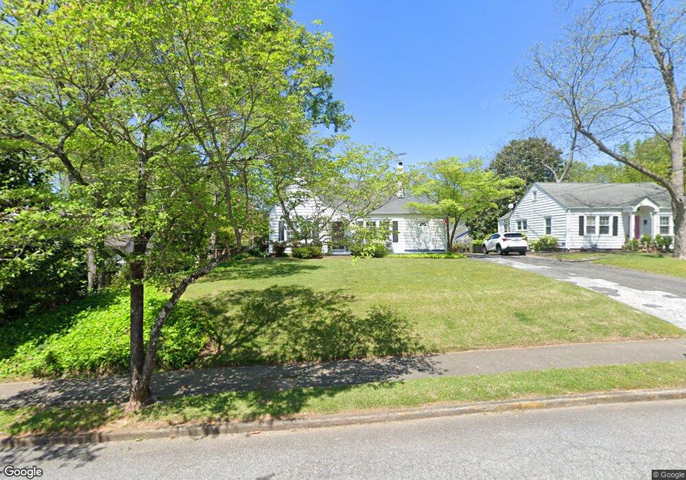
242 Mccord St NW Marietta, GA 30064
Polk NeighborhoodEstimated Value: $521,000 - $710,000
2
Beds
2
Baths
1,555
Sq Ft
$380/Sq Ft
Est. Value
About This Home
This home is located at 242 Mccord St NW, Marietta, GA 30064 and is currently estimated at $590,960, approximately $380 per square foot. 242 Mccord St NW is a home located in Cobb County with nearby schools including West Side Elementary School, Marietta Sixth Grade Academy, and Marietta Middle School.
Ownership History
Date
Name
Owned For
Owner Type
Purchase Details
Closed on
Oct 29, 2001
Sold by
Herbert John L and Mary Anne S
Bought by
Herbert John L and Herbert Anne C
Current Estimated Value
Home Financials for this Owner
Home Financials are based on the most recent Mortgage that was taken out on this home.
Original Mortgage
$100,000
Interest Rate
6.85%
Mortgage Type
New Conventional
Create a Home Valuation Report for This Property
The Home Valuation Report is an in-depth analysis detailing your home's value as well as a comparison with similar homes in the area
Home Values in the Area
Average Home Value in this Area
Purchase History
| Date | Buyer | Sale Price | Title Company |
|---|---|---|---|
| Herbert John L | -- | -- |
Source: Public Records
Mortgage History
| Date | Status | Borrower | Loan Amount |
|---|---|---|---|
| Previous Owner | Herbert John L | $100,000 |
Source: Public Records
Tax History Compared to Growth
Tax History
| Year | Tax Paid | Tax Assessment Tax Assessment Total Assessment is a certain percentage of the fair market value that is determined by local assessors to be the total taxable value of land and additions on the property. | Land | Improvement |
|---|---|---|---|---|
| 2025 | $353 | $191,680 | $60,000 | $131,680 |
| 2024 | $353 | $191,680 | $60,000 | $131,680 |
| 2023 | $201 | $191,680 | $60,000 | $131,680 |
| 2022 | $353 | $180,852 | $52,000 | $128,852 |
| 2021 | $366 | $98,388 | $52,000 | $46,388 |
| 2020 | $366 | $98,388 | $52,000 | $46,388 |
| 2019 | $365 | $96,388 | $50,000 | $46,388 |
| 2018 | $365 | $95,396 | $44,000 | $51,396 |
| 2017 | $294 | $95,396 | $44,000 | $51,396 |
| 2016 | $297 | $83,644 | $44,000 | $39,644 |
| 2015 | $329 | $83,644 | $44,000 | $39,644 |
| 2014 | $338 | $76,868 | $0 | $0 |
Source: Public Records
Map
Nearby Homes
- 207 Walthall St NW
- 25 Whitlock Square SW
- 32 Durham St SW
- 73 Whitlock Square SW
- 327 Stewart Ave NW
- 0 Polk St NW Unit 1523635
- 80 Lindley Ave NW Unit 1
- 285 Kennesaw Ave NW
- 59 Trammell St SW
- 282 Evelyn St NW
- 266 Crescent Cir SW
- 135 Sidney St
- 29 Sessions St NW
- 356 Campbell Hill St NW
- 557 Henry Dr
- 563 Hillandale Cir SW
- 419 Campbell Hill St NW
- 99 Griggs St SW
- 234 Mccord St NW
- 252 Mccord St NW
- 228 Mccord St NW
- 220 Mccord St NW
- 243 Mccord St NW
- 212 Mccord St NW
- 235 Mccord St NW
- 251 Mccord St NW
- 91 Cleburne Ave NW
- 81 Cleburne Ave NW
- 229 Mccord St NW
- 75 Cleburne Ave NW
- 67 Oakmont Dr NW
- 101 Cleburne Ave NW
- 63 Cleburne Ave NW
- 204 Mccord St NW
- 55 Cleburne Ave NW
- 49 Oakmont Dr NW
- 42 Cleburne Ave NW
- 269 Polk St NW