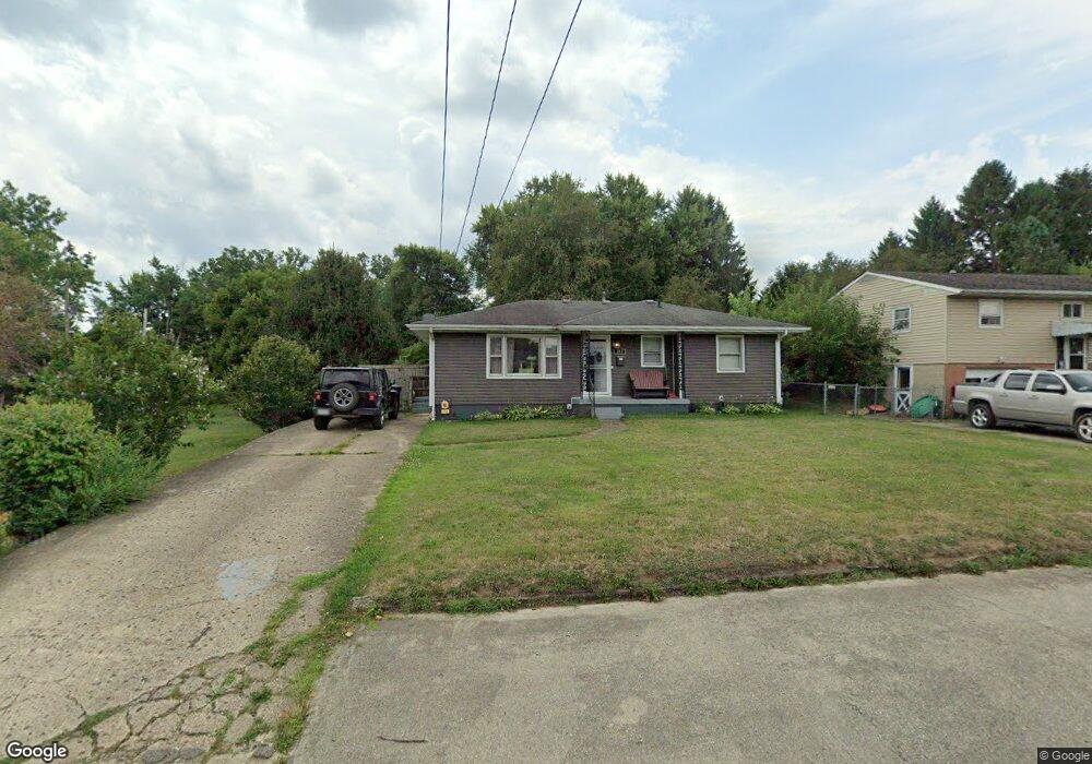
242 Mount Ida Ave Lancaster, OH 43130
Estimated Value: $217,000 - $243,000
3
Beds
2
Baths
1,491
Sq Ft
$157/Sq Ft
Est. Value
About This Home
This home is located at 242 Mount Ida Ave, Lancaster, OH 43130 and is currently estimated at $234,351, approximately $157 per square foot. 242 Mount Ida Ave is a home located in Fairfield County with nearby schools including Tallmadge Elementary School, General Sherman Junior High School, and Lancaster High School.
Ownership History
Date
Name
Owned For
Owner Type
Purchase Details
Closed on
Dec 10, 2009
Sold by
Crist William D and Crist Clara M
Bought by
Earliwine Angela S and Earliwine Lance M
Current Estimated Value
Home Financials for this Owner
Home Financials are based on the most recent Mortgage that was taken out on this home.
Original Mortgage
$95,243
Outstanding Balance
$61,527
Interest Rate
5.11%
Mortgage Type
FHA
Estimated Equity
$172,824
Purchase Details
Closed on
Jan 11, 1993
Sold by
Sheridan Ii Philip J
Bought by
Crist William D
Create a Home Valuation Report for This Property
The Home Valuation Report is an in-depth analysis detailing your home's value as well as a comparison with similar homes in the area
Home Values in the Area
Average Home Value in this Area
Purchase History
| Date | Buyer | Sale Price | Title Company |
|---|---|---|---|
| Earliwine Angela S | $97,000 | Title First Agency Inc | |
| Crist William D | $62,500 | -- |
Source: Public Records
Mortgage History
| Date | Status | Borrower | Loan Amount |
|---|---|---|---|
| Open | Earliwine Angela S | $95,243 |
Source: Public Records
Tax History
| Year | Tax Paid | Tax Assessment Tax Assessment Total Assessment is a certain percentage of the fair market value that is determined by local assessors to be the total taxable value of land and additions on the property. | Land | Improvement |
|---|---|---|---|---|
| 2025 | $4,518 | $71,580 | $13,590 | $57,990 |
| 2024 | $4,518 | $50,260 | $8,950 | $41,310 |
| 2023 | $1,828 | $50,260 | $8,950 | $41,310 |
| 2022 | $1,835 | $50,260 | $8,950 | $41,310 |
| 2021 | $1,524 | $39,100 | $8,950 | $30,150 |
| 2020 | $1,460 | $39,100 | $8,950 | $30,150 |
| 2019 | $1,388 | $39,100 | $8,950 | $30,150 |
| 2018 | $1,191 | $32,040 | $8,950 | $23,090 |
| 2017 | $1,192 | $31,860 | $8,950 | $22,910 |
| 2016 | $1,160 | $31,860 | $8,950 | $22,910 |
| 2015 | $1,158 | $30,850 | $8,950 | $21,900 |
| 2014 | $1,103 | $30,850 | $8,950 | $21,900 |
| 2013 | $1,103 | $30,850 | $8,950 | $21,900 |
Source: Public Records
Map
Nearby Homes
- 126 Twin Creek Way
- 0 Hamburg Rd SW
- 0 Hamburg Rd SW Unit 226000938
- 0 Bis Rd SW Unit 226005818
- 810 4th St
- 233 Lewis Ave
- 0 Highland Ave
- 729 Pennsylvania Ave
- 772 Pennsylvania Ave
- 2241 Brookside Dr
- 0 N Columbus St
- 414 E Walnut St
- 157 Cedar Hill Rd
- 342 E Chestnut St
- 154 E Main St
- 2870 Bis Rd SW
- 113 N George St
- 219 Peters Ave
- 520 W Wheeling St
- 515 E Chestnut St
- 248 Mount Ida Ave
- 250 Mount Ida Ave
- 220 Mount Ida Ave
- 256 Mount Ida Ave
- 226 Mount Ida Ave
- 280 Mount Ida Ave
- 200 Tarhe St
- 251 Mount Ida Ave
- 239 Mount Ida Ave
- 255 Mount Ida Ave
- 225 Mount Ida Ave
- 257 Mount Ida Ave
- 279 Mount Ida Ave
- 210 Mount Ida Ave
- 302 Mount Ida Ave
- 181 Tarhe St
- 180 Tarhe St
- 221 Mount Ida Ave
- 971 Udell St
- 219 Mount Ida Ave
Your Personal Tour Guide
Ask me questions while you tour the home.