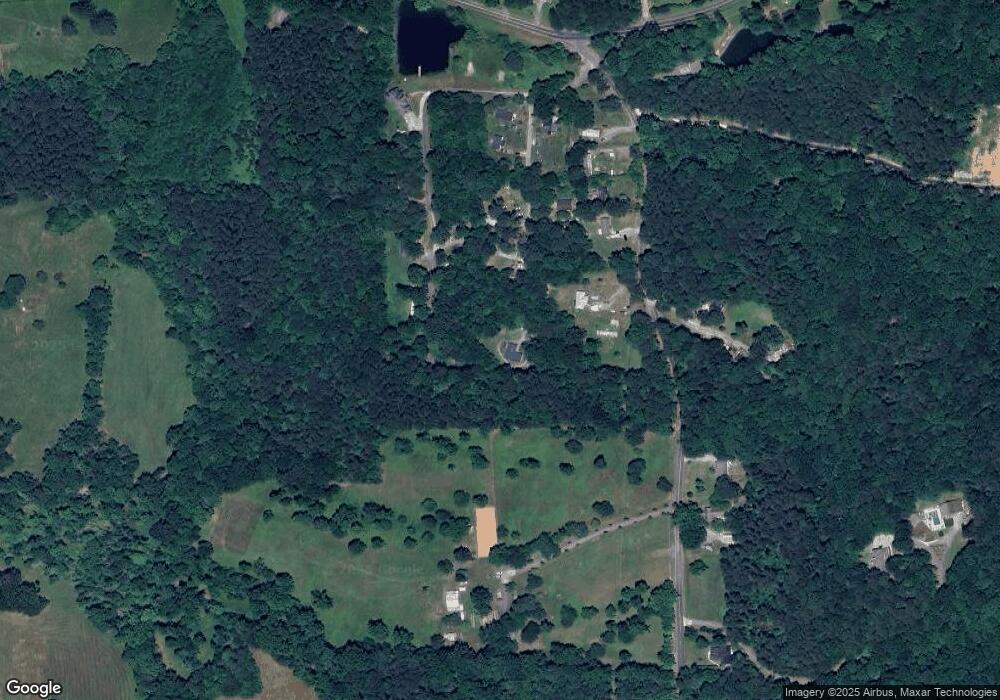
242 Needles Way Rocky Face, GA 30740
Estimated Value: $226,000 - $293,000
--
Bed
2
Baths
1,803
Sq Ft
$139/Sq Ft
Est. Value
About This Home
This home is located at 242 Needles Way, Rocky Face, GA 30740 and is currently estimated at $250,448, approximately $138 per square foot. 242 Needles Way is a home located in Whitfield County with nearby schools including Westside Elementary School, Westside Middle School, and Northwest Whitfield County High School.
Ownership History
Date
Name
Owned For
Owner Type
Purchase Details
Closed on
Sep 8, 2011
Sold by
Stewart Tammy H
Bought by
Stewart Robert Drew
Current Estimated Value
Home Financials for this Owner
Home Financials are based on the most recent Mortgage that was taken out on this home.
Original Mortgage
$76,012
Outstanding Balance
$53,255
Interest Rate
4.75%
Mortgage Type
FHA
Estimated Equity
$197,193
Purchase Details
Closed on
Mar 11, 2004
Sold by
Bank One Na
Bought by
Mooney Tammy
Purchase Details
Closed on
Dec 2, 2003
Sold by
Whiteside Michael B and Whiteside Beverly
Bought by
Bank One Na
Purchase Details
Closed on
Oct 1, 1993
Bought by
Whiteside Michael B and Whiteside Beverly S
Create a Home Valuation Report for This Property
The Home Valuation Report is an in-depth analysis detailing your home's value as well as a comparison with similar homes in the area
Home Values in the Area
Average Home Value in this Area
Purchase History
| Date | Buyer | Sale Price | Title Company |
|---|---|---|---|
| Stewart Robert Drew | $77,990 | -- | |
| Mooney Tammy | $50,000 | -- | |
| Bank One Na | -- | -- | |
| Whiteside Michael B | -- | -- |
Source: Public Records
Mortgage History
| Date | Status | Borrower | Loan Amount |
|---|---|---|---|
| Open | Stewart Robert Drew | $76,012 |
Source: Public Records
Tax History Compared to Growth
Tax History
| Year | Tax Paid | Tax Assessment Tax Assessment Total Assessment is a certain percentage of the fair market value that is determined by local assessors to be the total taxable value of land and additions on the property. | Land | Improvement |
|---|---|---|---|---|
| 2024 | $1,923 | $77,720 | $4,000 | $73,720 |
| 2023 | $1,174 | $48,361 | $4,000 | $44,361 |
| 2022 | $768 | $34,608 | $4,000 | $30,608 |
| 2021 | $769 | $34,608 | $4,000 | $30,608 |
| 2020 | $783 | $34,608 | $4,000 | $30,608 |
| 2019 | $791 | $34,608 | $4,000 | $30,608 |
| 2018 | $798 | $34,608 | $4,000 | $30,608 |
| 2017 | $798 | $34,608 | $4,000 | $30,608 |
| 2016 | $703 | $32,038 | $4,200 | $27,838 |
| 2014 | $663 | $32,038 | $4,200 | $27,838 |
| 2013 | -- | $32,038 | $4,200 | $27,838 |
Source: Public Records
Map
Nearby Homes
- 0 Hurricane Rd S Unit 129270
- 0 Hurricane Rd S Unit 129269
- 0 Hurricane Rd S Unit 129268
- 2001 Eagle Point Dr
- 3023 Highland Cir
- 4 Lots Highland Cir
- Lot 28 Highland Cir
- Lot 21 Highland Cir
- Lot 20 Highland Cir
- Lot 29 Highland Cir
- 1909 Sourwood Dr
- 2512 Dug Gap Rd
- 0 N Dug Gap Rd Unit 131142
- 0 N Dug Gap Rd Unit RTC3015177
- 0 N Dug Gap Rd Unit 20254832
- 1908 Valley Brook Dr
- 104 Buckingham Dr
- 2800 N Dug Gap Rd SW
- 257 Old Babb Rd
- 1108 Sunset Dr SW
- 3655 Hurricane Rd
- 198 Needles Way
- 165 Dusty Ln
- 170 Dusty Ln
- 0 Hurricane Rd Unit 5824014
- 0 Hurricane Rd Unit RTC2345134
- 0 Hurricane Rd Unit RTC2327669
- 169 Needles Way
- 3667 Hurricane Rd
- 160 Dusty Ln
- 101 Dusty Ln
- 3617 Hurricane Rd
- 3622 Hurricane Rd
- 158 Dusty Ln
- 3650 Hurricane Rd
- 3620 Hurricane Rd
- 3620 Hurricane Rd
- 2512 Dug Gap Battle Rd
- 2505 Dug Gap Mtn Battle Rd
- 2505 Dug Gap Mtn Battle Rd
