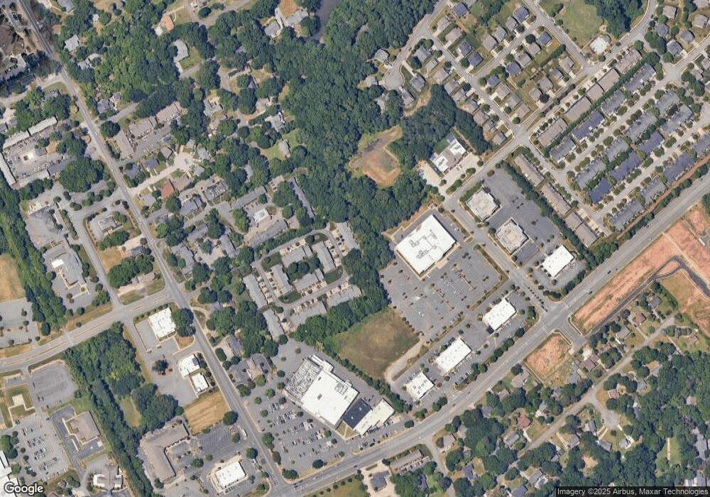
242 Pointe Cir Unit 242 Rock Hill, SC 29732
Estimated Value: $259,000 - $272,665
--
Bed
2
Baths
1,271
Sq Ft
$209/Sq Ft
Est. Value
About This Home
This home is located at 242 Pointe Cir Unit 242, Rock Hill, SC 29732 and is currently estimated at $265,416, approximately $208 per square foot. 242 Pointe Cir Unit 242 is a home located in York County with nearby schools including Ebinport Elementary School, W.C. Sullivan Middle School, and South Pointe High School.
Ownership History
Date
Name
Owned For
Owner Type
Purchase Details
Closed on
Dec 2, 2024
Sold by
Melton Edward and Melton Miriam
Bought by
Pettit Geraldine W
Current Estimated Value
Purchase Details
Closed on
Mar 8, 2019
Sold by
Dawkins Trudy and Quinn Trudy
Bought by
Melton Miriam and Melton Edward
Home Financials for this Owner
Home Financials are based on the most recent Mortgage that was taken out on this home.
Original Mortgage
$126,000
Interest Rate
3.75%
Mortgage Type
Adjustable Rate Mortgage/ARM
Purchase Details
Closed on
Sep 16, 2008
Sold by
Haws Marie M
Bought by
Dawkins Trudy
Home Financials for this Owner
Home Financials are based on the most recent Mortgage that was taken out on this home.
Original Mortgage
$96,248
Interest Rate
6.45%
Mortgage Type
FHA
Create a Home Valuation Report for This Property
The Home Valuation Report is an in-depth analysis detailing your home's value as well as a comparison with similar homes in the area
Home Values in the Area
Average Home Value in this Area
Purchase History
| Date | Buyer | Sale Price | Title Company |
|---|---|---|---|
| Pettit Geraldine W | $262,000 | None Listed On Document | |
| Pettit Geraldine W | $262,000 | None Listed On Document | |
| Melton Miriam | $140,000 | None Available | |
| Dawkins Trudy | $98,000 | -- |
Source: Public Records
Mortgage History
| Date | Status | Borrower | Loan Amount |
|---|---|---|---|
| Previous Owner | Melton Miriam | $126,000 | |
| Previous Owner | Dawkins Trudy | $96,248 |
Source: Public Records
Tax History Compared to Growth
Tax History
| Year | Tax Paid | Tax Assessment Tax Assessment Total Assessment is a certain percentage of the fair market value that is determined by local assessors to be the total taxable value of land and additions on the property. | Land | Improvement |
|---|---|---|---|---|
| 2024 | $1,174 | $5,352 | $0 | $5,352 |
| 2023 | $1,177 | $5,352 | $0 | $5,352 |
| 2022 | $1,185 | $5,352 | $0 | $5,352 |
| 2021 | -- | $5,352 | $0 | $5,352 |
| 2020 | $1,188 | $5,352 | $0 | $0 |
| 2019 | $792 | $5,320 | $0 | $0 |
| 2018 | $791 | $3,460 | $0 | $0 |
| 2017 | $762 | $3,460 | $0 | $0 |
| 2016 | $755 | $3,460 | $0 | $0 |
| 2014 | $699 | $3,460 | $0 | $3,460 |
| 2013 | $699 | $3,360 | $0 | $3,360 |
Source: Public Records
Map
Nearby Homes
- 248 Pointe Cir
- 1792 Ebenezer Rd Unit G
- 1784 Ebenezer Rd
- 1806 Ebenezer Rd Unit E
- 1830 Ebenezer Rd Unit 1
- 1910 Ebenezer Rd
- 606 Clouds Way
- 448 Berryman Rd
- 405 Jenny Skip Ln
- 302 Ginsberg Rd
- Garland Plan at Allston
- Gable Plan at Allston
- 306 Ginsberg Rd
- 310 Ginsberg Rd
- 651 Melville Dr
- 310 Berkeley Rd
- 420 Bly St
- 1937 Ebenezer Rd
- 130 Bailey Ave
- 1545 Granville Rd
- 244 Pointe Cir
- 246 Pointe Cir Unit 246
- 250 Pointe Cir
- 233 Pointe Cir
- 231 Pointe Cir
- 229 Pointe Cir
- 235 Pointe Cir
- 227 Pointe Cir
- 225 Pointe Cir
- 237 Pointe Cir
- 237 Pointe Cir
- 76 Pointe Cir
- 73 Pointe Cir
- 223 Pointe Cir
- 239 Pointe Cir
- 241 Pointe Cir
- 238 Pointe Cir Unit 238
- 238 Pointe Cir
- 236 Pointe Cir
- 236 Pointe Cir
