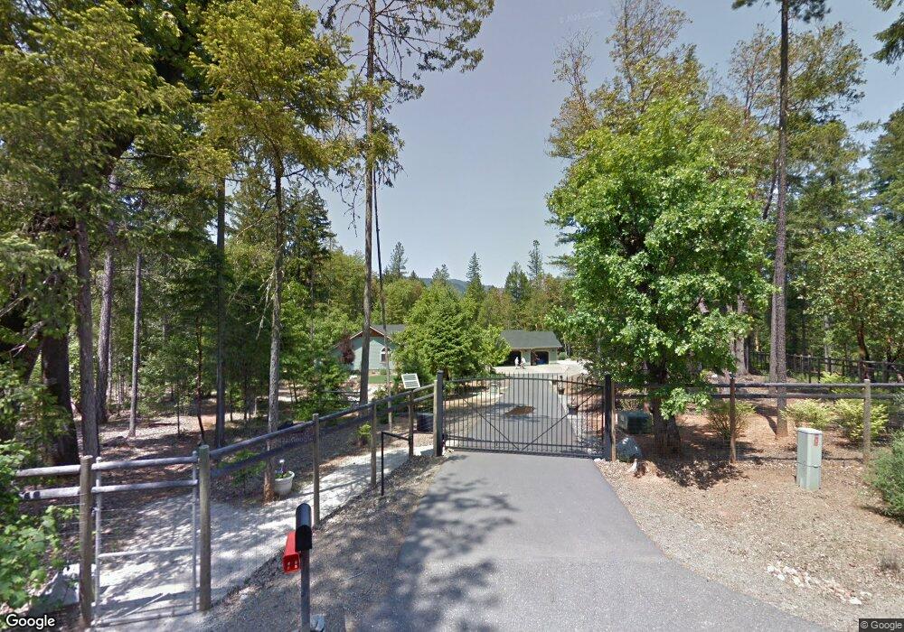
242 Red Rock Ln Grants Pass, OR 97527
Estimated Value: $800,538 - $1,009,000
3
Beds
2
Baths
2,972
Sq Ft
$304/Sq Ft
Est. Value
About This Home
This home is located at 242 Red Rock Ln, Grants Pass, OR 97527 and is currently estimated at $904,769, approximately $304 per square foot. 242 Red Rock Ln is a home located in Josephine County with nearby schools including Ft. Vannoy Elementary School, Lincoln Savage Middle School, and Hidden Valley High School.
Ownership History
Date
Name
Owned For
Owner Type
Purchase Details
Closed on
May 3, 2010
Sold by
Cook Robert J and Cook Caryle
Bought by
Cook Robert J and Cook Caryle
Current Estimated Value
Purchase Details
Closed on
Jun 13, 2008
Sold by
Carmody Jim
Bought by
Cook Robert J and Cook Caryle
Purchase Details
Closed on
Jul 25, 2006
Sold by
Trapped Moose Enterprises Inc
Bought by
Carmody Jim
Home Financials for this Owner
Home Financials are based on the most recent Mortgage that was taken out on this home.
Original Mortgage
$160,000
Interest Rate
6.57%
Mortgage Type
Construction
Create a Home Valuation Report for This Property
The Home Valuation Report is an in-depth analysis detailing your home's value as well as a comparison with similar homes in the area
Home Values in the Area
Average Home Value in this Area
Purchase History
| Date | Buyer | Sale Price | Title Company |
|---|---|---|---|
| Cook Robert J | -- | None Available | |
| Cook Robert J | $510,000 | First American | |
| Carmody Jim | $191,000 | First American | |
| Trapped Moose Enterprises Inc | $135,000 | First American |
Source: Public Records
Mortgage History
| Date | Status | Borrower | Loan Amount |
|---|---|---|---|
| Previous Owner | Carmody Jim | $160,000 |
Source: Public Records
Tax History Compared to Growth
Tax History
| Year | Tax Paid | Tax Assessment Tax Assessment Total Assessment is a certain percentage of the fair market value that is determined by local assessors to be the total taxable value of land and additions on the property. | Land | Improvement |
|---|---|---|---|---|
| 2025 | $3,056 | $424,550 | -- | -- |
| 2024 | $3,056 | $412,190 | -- | -- |
| 2023 | $2,496 | $400,190 | $0 | $0 |
| 2022 | $2,520 | $388,540 | -- | -- |
| 2021 | $2,362 | $377,230 | $0 | $0 |
| 2020 | $2,464 | $366,250 | $0 | $0 |
| 2019 | $2,365 | $355,590 | $0 | $0 |
| 2018 | $2,398 | $345,240 | $0 | $0 |
| 2017 | $2,398 | $335,190 | $0 | $0 |
| 2016 | $2,030 | $325,430 | $0 | $0 |
| 2015 | $1,960 | $315,960 | $0 | $0 |
| 2014 | $1,910 | $306,760 | $0 | $0 |
Source: Public Records
Map
Nearby Homes
- 3217 Riverbanks Rd
- 1280 Marcy Loop Rd
- 155 Daily Ln
- 512 Bonnie Ln
- 245 Key Way
- 515 Bonnie Ln
- 139 Sloan Mountain Ln
- 5461 Riverbanks Rd
- 211 Peaceful Valley Ln
- 770 Pass Creek Rd
- 198 Rossier Ln
- 1011 Ingalls Ln
- 145 Griffin Rd
- 6181 Lower River Rd
- 525 Ingalls Ln
- 477 Roan Dr
- 2100 Robinson Rd
- 925 Ferry Rd
- 0 Ferry Rd Unit 104
- 145 Ingalls Ln
- 190 Red Rock Ln
- 268 Red Rock Ln
- 171 Red Rock Ln
- 3370 Riverbanks Rd
- 3368 Riverbanks Rd
- 3320 Riverbanks Rd
- 3224 Riverbanks Rd
- 492 Whitestone Dr
- 281 Red Rock Ln
- 410 Whitestone Dr
- 3236 Riverbanks Rd
- 3400 Riverbanks Rd
- 3222 Riverbanks Rd
- 294 Whitestone Dr
- 3386 Riverbanks Rd
- 3312 Riverbanks Rd
- 0 Red Rock Ln
- 3414 Riverbanks Rd
- 1902 Marcy Loop Rd
- 564 Whitestone Dr