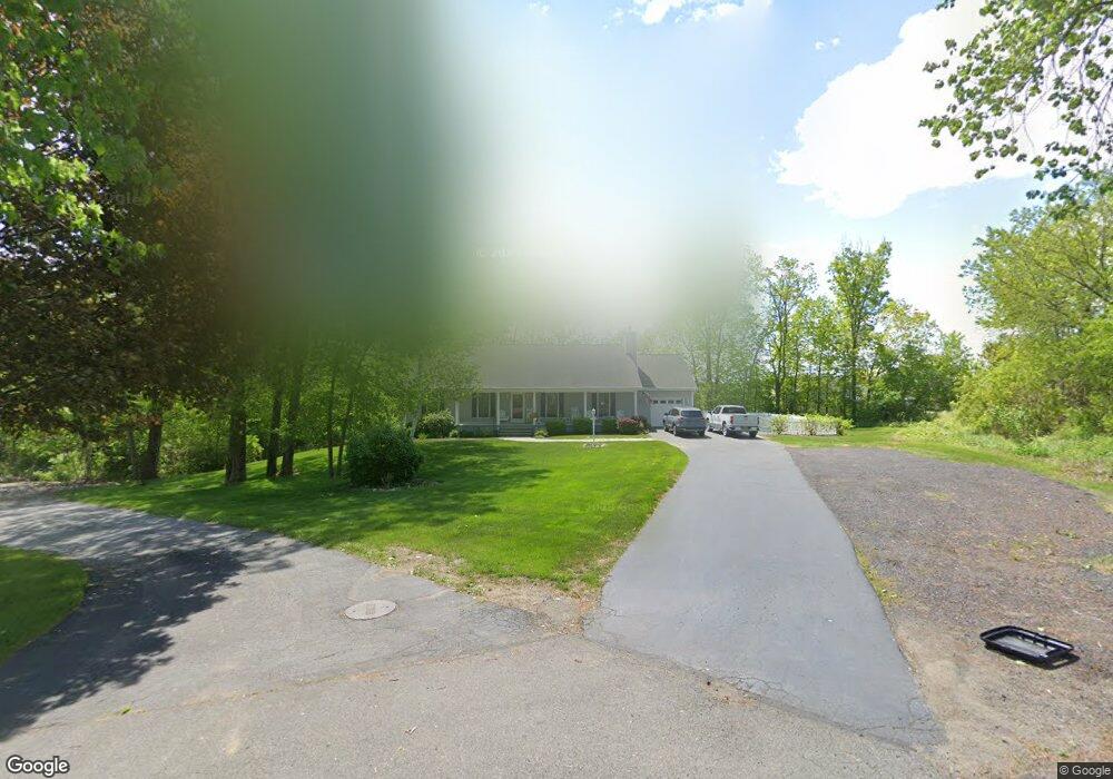
242 Samantha Dr Fort Edward, NY 12828
Estimated Value: $285,000 - $293,000
3
Beds
2
Baths
1,640
Sq Ft
$176/Sq Ft
Est. Value
About This Home
This home is located at 242 Samantha Dr, Fort Edward, NY 12828 and is currently estimated at $288,794, approximately $176 per square foot. 242 Samantha Dr is a home located in Washington County with nearby schools including Fort Edward School.
Ownership History
Date
Name
Owned For
Owner Type
Purchase Details
Closed on
Jun 15, 2016
Sold by
Suprenant
Bought by
Suprenant Patrick
Current Estimated Value
Purchase Details
Closed on
Jun 17, 2005
Sold by
Castle Trust
Bought by
Suprenant Mitchell
Purchase Details
Closed on
Aug 24, 2001
Sold by
Washington County
Bought by
Lafleur Rene
Create a Home Valuation Report for This Property
The Home Valuation Report is an in-depth analysis detailing your home's value as well as a comparison with similar homes in the area
Home Values in the Area
Average Home Value in this Area
Purchase History
| Date | Buyer | Sale Price | Title Company |
|---|---|---|---|
| Suprenant Patrick | -- | Mary-Ellen E. Stockwell | |
| Suprenant Mitchell | $17,100 | Fitzgerald Baker Morris | |
| Lafleur Rene | $4,100 | None |
Source: Public Records
Tax History Compared to Growth
Tax History
| Year | Tax Paid | Tax Assessment Tax Assessment Total Assessment is a certain percentage of the fair market value that is determined by local assessors to be the total taxable value of land and additions on the property. | Land | Improvement |
|---|---|---|---|---|
| 2024 | $7,375 | $210,000 | $28,400 | $181,600 |
| 2023 | $7,402 | $210,000 | $28,400 | $181,600 |
| 2022 | $8,200 | $210,000 | $28,400 | $181,600 |
| 2021 | $8,818 | $154,100 | $15,500 | $138,600 |
| 2020 | $8,381 | $154,100 | $15,500 | $138,600 |
| 2019 | $7,894 | $154,100 | $15,500 | $138,600 |
| 2018 | $7,894 | $154,100 | $15,500 | $138,600 |
| 2017 | $6,748 | $154,100 | $15,500 | $138,600 |
| 2016 | $6,397 | $154,100 | $15,500 | $138,600 |
| 2015 | -- | $154,100 | $15,500 | $138,600 |
| 2014 | -- | $154,100 | $15,500 | $138,600 |
Source: Public Records
Map
Nearby Homes
- L1.1 Drifting Ridge Rd
- 418 Tori Trace
- 420 Tori Trace
- 415 Tori Trace
- 411 Tori Trace
- L 75 Frederick Dr
- 410 Tori Trace
- 3040 County Route 46
- 44-46 Notre Dame St
- 99 State Route 197
- 2434 State Route 4
- 11 Bridge St Unit 13
- 109-111 Broadway
- 8 Bridge St
- 82 East St
- 12 Laurel Rd
- 27-29 Taylor St
- 2374 State Route 4
- 196 State Route 197
- 2 Birch Dr
- 34 Samantha Dr
- 542 Drifting Ridge
- 542 Drifting Ridge Rd
- 238 Samantha Dr
- 59 Frederick Dr
- 53 Frederick Dr
- 35 Frederick Dr
- 544 Drifting Ridge
- 544 Drifting Ridge Rd
- 540 Drifting Ridge
- 34 Frederick Dr
- 540 Drifting Ridge Rd
- 236 Samantha Dr
- 33 Frederick Dr
- 533 Drifting Ridge
- 32 Frederick Dr
- 234 Samantha Dr
- 0 Drifting Ridge Rd
- 0 Drifting Ridge Rd Unit 28108579
- 0 Drifting Ridge Rd Unit 86512