Estimated Value: $82,145 - $257,000
2
Beds
1
Bath
552
Sq Ft
$274/Sq Ft
Est. Value
About This Home
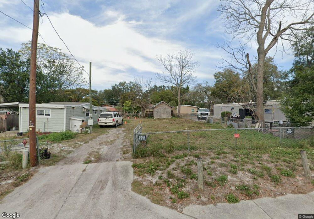
This home is located at 242 Security Cir, Ocoee, FL 34761 and is currently estimated at $151,382, approximately $274 per square foot. 242 Security Cir is a home located in Orange County with nearby schools including Ocoee Elementary School, Ocoee Middle School, and Ocoee High School.
Ownership History
Date
Name
Owned For
Owner Type
Purchase Details
Closed on
May 30, 2019
Sold by
Rodriguez Juan Manuel
Bought by
Banos Jorge Alejandro and Banos Maria Torres De
Current Estimated Value
Purchase Details
Closed on
Apr 10, 2019
Sold by
Rodriguez Emmanuel
Bought by
Rodriguez Juan Manuel
Purchase Details
Closed on
Nov 9, 2018
Sold by
Hollenbeck Joey
Bought by
Rodriguez Emmanuel
Purchase Details
Closed on
Jul 27, 2016
Sold by
Pedrick Betty and Kasmir Jeanette
Bought by
Hollenbeck Joey
Purchase Details
Closed on
Jul 1, 2016
Bought by
Hollenbeck Joey
Purchase Details
Closed on
Apr 14, 2006
Sold by
Ogburn Brian O
Bought by
Pedrick Betty
Create a Home Valuation Report for This Property
The Home Valuation Report is an in-depth analysis detailing your home's value as well as a comparison with similar homes in the area
Home Values in the Area
Average Home Value in this Area
Purchase History
| Date | Buyer | Sale Price | Title Company |
|---|---|---|---|
| Banos Jorge Alejandro | $39,000 | Treasure Title Ins Agcy Inc | |
| Rodriguez Juan Manuel | -- | None Available | |
| Rodriguez Emmanuel | $30,000 | Equitable Title Of West Orla | |
| Hollenbeck Joey | $20,571 | Attorney | |
| Hollenbeck Joey | $20,700 | -- | |
| Pedrick Betty | $20,700 | None Available |
Source: Public Records
Tax History
| Year | Tax Paid | Tax Assessment Tax Assessment Total Assessment is a certain percentage of the fair market value that is determined by local assessors to be the total taxable value of land and additions on the property. | Land | Improvement |
|---|---|---|---|---|
| 2025 | $809 | $20,631 | -- | -- |
| 2024 | $668 | $18,755 | -- | -- |
| 2023 | $668 | $15,500 | $15,000 | $500 |
| 2022 | $1,044 | $24,095 | $15,000 | $9,095 |
| 2021 | $977 | $32,975 | $25,000 | $7,975 |
| 2020 | $942 | $32,975 | $25,000 | $7,975 |
| 2019 | $990 | $32,975 | $25,000 | $7,975 |
| 2018 | $682 | $15,598 | $12,000 | $3,598 |
| 2017 | $686 | $15,497 | $12,000 | $3,497 |
| 2016 | $709 | $16,660 | $12,000 | $4,660 |
| 2015 | $685 | $14,617 | $11,000 | $3,617 |
| 2014 | $729 | $16,934 | $13,317 | $3,617 |
Source: Public Records
Map
Nearby Homes
- 28 Rewis St
- 600 Hill Ave
- 632 Cardinal St
- 20 Rewis St
- 1102 Bellini Ln
- 1079 N Lakewood Ave
- 1236 Russell Dr
- 12 Lee St
- 314 15th Ave
- 702 Carmen Dr
- 314 Wurst Rd
- 503 Apricot Dr
- 319 W Silver Star Rd
- 1311 Olympia Park Cir
- 1301 Pinewood Ln
- 1500 Adair St
- 0 E Silver Star Rd
- 905 Spring Creek Dr
- 601 Catwood Dr
- 1100 Malcom Rd
- 238 Security Cir
- 236 Security Cir
- 165 Mobile Ln
- 163 Mobile Ln
- 161 Mobile Ln
- 241 Security Cir
- 157 Mobile Ln
- 234 Security Cir
- 239 Security Cir
- 250 Rewis St
- 155 Mobile Ln
- 237 Security Cir
- 232 Security Cir
- 153 Mobile Ln
- 235 Security Cir
- 252 Rewis St
- 230 Security Cir
- 164 Mobile Ln
- 160 Mobile Ln
- 240 Rewis St
Your Personal Tour Guide
Ask me questions while you tour the home.