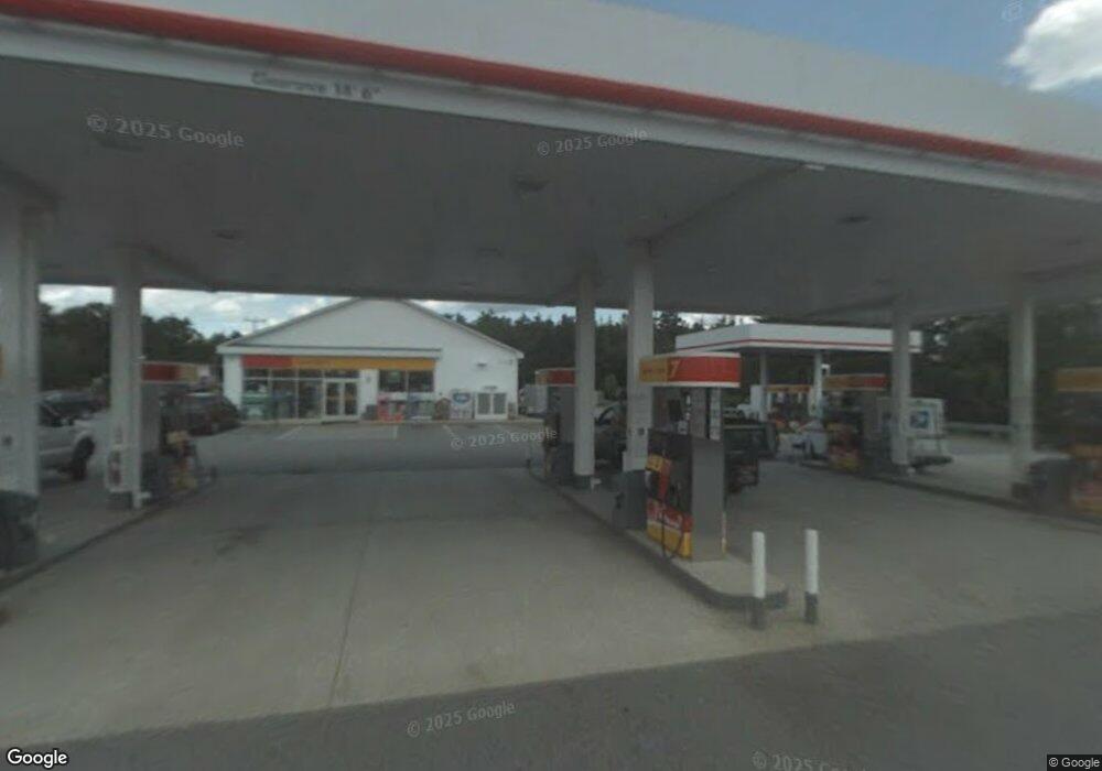
242 Sheep Davis Rd Concord, NH 03301
Concord Heights Neighborhood
--
Bed
--
Bath
600
Sq Ft
6.14
Acres
About This Home
This home is located at 242 Sheep Davis Rd, Concord, NH 03301. 242 Sheep Davis Rd is a home located in Merrimack County with nearby schools including Broken Ground School, Rundlett Middle School, and Concord High School.
Ownership History
Date
Name
Owned For
Owner Type
Purchase Details
Closed on
Jun 7, 2006
Sold by
Cheshire Oil Co Inc
Bought by
Gabrielle Realty
Home Financials for this Owner
Home Financials are based on the most recent Mortgage that was taken out on this home.
Original Mortgage
$1,408,000
Interest Rate
6.62%
Mortgage Type
Commercial
Create a Home Valuation Report for This Property
The Home Valuation Report is an in-depth analysis detailing your home's value as well as a comparison with similar homes in the area
Home Values in the Area
Average Home Value in this Area
Purchase History
| Date | Buyer | Sale Price | Title Company |
|---|---|---|---|
| Gabrielle Realty | $1,300,000 | -- |
Source: Public Records
Mortgage History
| Date | Status | Borrower | Loan Amount |
|---|---|---|---|
| Open | Gabrielle Realty | $3,030,200 | |
| Closed | Gabrielle Realty | $1,408,000 |
Source: Public Records
Tax History Compared to Growth
Tax History
| Year | Tax Paid | Tax Assessment Tax Assessment Total Assessment is a certain percentage of the fair market value that is determined by local assessors to be the total taxable value of land and additions on the property. | Land | Improvement |
|---|---|---|---|---|
| 2024 | $42,069 | $1,519,300 | $841,800 | $677,500 |
| 2023 | $40,808 | $1,519,300 | $841,800 | $677,500 |
| 2022 | $39,335 | $1,519,300 | $841,800 | $677,500 |
| 2021 | $38,165 | $1,519,300 | $841,800 | $677,500 |
| 2020 | $35,861 | $1,340,100 | $662,600 | $677,500 |
| 2019 | $37,228 | $1,340,100 | $662,600 | $677,500 |
| 2018 | $37,777 | $1,340,100 | $662,600 | $677,500 |
| 2017 | $37,678 | $1,334,200 | $656,700 | $677,500 |
| 2016 | $36,917 | $1,334,200 | $656,700 | $677,500 |
| 2015 | $37,685 | $1,378,400 | $656,700 | $721,700 |
| 2014 | $36,955 | $1,378,400 | $656,700 | $721,700 |
| 2013 | $35,259 | $1,378,400 | $656,700 | $721,700 |
| 2012 | $32,098 | $1,317,100 | $595,400 | $721,700 |
Source: Public Records
Map
Nearby Homes
- 24 Cricket Ln
- 58 Branch Turnpike Unit 73
- 58 Branch Turnpike Unit 26
- 59 Branch Turnpike
- 43 Branch Turnpike
- 8 NE Village Rd
- 294 Portsmouth St
- 667 Borough Rd
- 12 E Side Dr Unit 4-13
- 12 E Side Dr Unit 12
- 834 Borough Rd
- 17 Burns Ave Unit 2
- 6 Grover St
- 762 Robinson Rd
- 6 Heights Rd
- 33 Mulberry St Unit 2
- 15 Bridle Path Trail
- 66 Staniels Rd
- 9 Strawberry Ln
- 190 Manchester St Unit 23
- 242 Sheep Davis Rd
- 242 Sheep Davis Rd Unit 3
- 242 Sheep Davis Rd
- 220 Pembroke Rd
- 238 Sheep Davis Rd
- 823 N Pembroke Rd
- 212 Pembroke Rd
- 195 Pembroke Rd
- 249 Sheep Davis Rd Unit 3
- 249 Sheep Davis Rd
- 249 Sheep Davis Rd
- 193 Pembroke Rd
- 1 Confidential
- 817 N Pembroke Rd Unit 821
- 2 Industrial Park Dr
- 248 Sheep Davis Rd
- 248 Sheep Davis Rd
- 231 Sheep Davis Rd
- 257 Sheep Davis Rd
- 172 Pembroke Rd