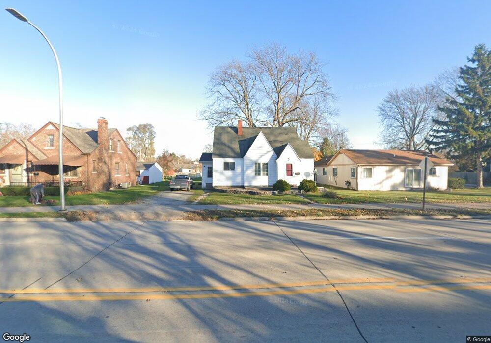
2420 10th St Port Huron, MI 48060
Estimated Value: $114,000 - $137,414
2
Beds
1
Bath
807
Sq Ft
$159/Sq Ft
Est. Value
About This Home
This home is located at 2420 10th St, Port Huron, MI 48060 and is currently estimated at $128,354, approximately $159 per square foot. 2420 10th St is a home located in St. Clair County with nearby schools including Michigamme Elementary School, Central Middle School, and Port Huron High School.
Ownership History
Date
Name
Owned For
Owner Type
Purchase Details
Closed on
Nov 19, 2019
Sold by
Grosser and Michael
Bought by
Benedict Alicia and Baker Crystal
Current Estimated Value
Purchase Details
Closed on
Nov 8, 2019
Sold by
Grosser and Michael
Bought by
Benedict Alicia and Baker Crystal
Purchase Details
Closed on
Apr 19, 2018
Sold by
Commercial & Savings Bank As
Bought by
Grosser Michael Terry
Create a Home Valuation Report for This Property
The Home Valuation Report is an in-depth analysis detailing your home's value as well as a comparison with similar homes in the area
Home Values in the Area
Average Home Value in this Area
Purchase History
| Date | Buyer | Sale Price | Title Company |
|---|---|---|---|
| Benedict Alicia | -- | None Listed On Document | |
| Grosser Irene | -- | None Listed On Document | |
| Benedict Alicia | -- | None Listed On Document | |
| Grosser Irene | -- | None Listed On Document | |
| Grosser Michael Terry | $18,000 | Huron Title |
Source: Public Records
Tax History Compared to Growth
Tax History
| Year | Tax Paid | Tax Assessment Tax Assessment Total Assessment is a certain percentage of the fair market value that is determined by local assessors to be the total taxable value of land and additions on the property. | Land | Improvement |
|---|---|---|---|---|
| 2025 | $1,937 | $55,100 | $0 | $0 |
| 2024 | $1,678 | $52,100 | $0 | $0 |
| 2023 | $1,589 | $46,200 | $0 | $0 |
| 2022 | $1,571 | $43,200 | $0 | $0 |
| 2021 | $1,500 | $37,000 | $0 | $0 |
| 2020 | $1,506 | $32,700 | $32,700 | $0 |
| 2019 | $1,479 | $23,200 | $0 | $0 |
| 2018 | $1,446 | $23,200 | $0 | $0 |
| 2017 | $1,328 | $21,900 | $0 | $0 |
| 2016 | $1,177 | $21,900 | $0 | $0 |
| 2015 | $1,233 | $21,800 | $21,800 | $0 |
| 2014 | $1,233 | $22,900 | $22,900 | $0 |
| 2013 | -- | $25,300 | $0 | $0 |
Source: Public Records
Map
Nearby Homes
- 2411 10th St
- 823 Beard St
- 2444 Military St
- 2430 Military St Unit 2434
- 2710 Electric Ave
- 2718 Electric Ave
- 1403 Catherine McAuley Dr
- 2704 Military St
- 730 Jenkinson St
- 2724 Military St
- 913 Tunnel St
- 1414 Beard St
- 2815 Military St
- 2109 Military St
- 831 Bancroft St
- 1112 Minnie St
- 1127 Minnie St
- 1815 8th St
- 1319 Minnie St
- 1322 Division St