Estimated Value: $372,000
--
Bed
--
Bath
--
Sq Ft
3
Acres
About This Home
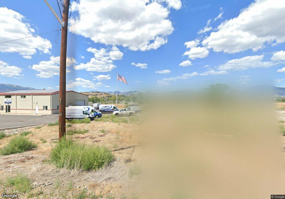
This home is located at 2420 Airport Rd, Rifle, CO 81650 and is currently priced at $372,000. 2420 Airport Rd is a home located in Garfield County with nearby schools including Highland Elementary School, Rifle Middle School, and Rifle High School.
Ownership History
Date
Name
Owned For
Owner Type
Purchase Details
Closed on
Dec 10, 2020
Sold by
Taylor Alfia A and Alfia A Taylor Trust
Bought by
Branson Properties Llc
Current Estimated Value
Purchase Details
Closed on
Mar 3, 2000
Sold by
Sills Jimmy
Bought by
Taylor Bob
Create a Home Valuation Report for This Property
The Home Valuation Report is an in-depth analysis detailing your home's value as well as a comparison with similar homes in the area
Home Values in the Area
Average Home Value in this Area
Purchase History
| Date | Buyer | Sale Price | Title Company |
|---|---|---|---|
| Branson Properties Llc | $400,000 | Title Company Of The Rockies | |
| Taylor Bob | $50,000 | -- |
Source: Public Records
Tax History Compared to Growth
Tax History
| Year | Tax Paid | Tax Assessment Tax Assessment Total Assessment is a certain percentage of the fair market value that is determined by local assessors to be the total taxable value of land and additions on the property. | Land | Improvement |
|---|---|---|---|---|
| 2024 | $0 | $11,280 | $11,280 | $0 |
| 2023 | $0 | $11,280 | $11,280 | $0 |
| 2022 | $1,020 | $14,400 | $14,400 | $0 |
| 2021 | $1,140 | $14,400 | $14,400 | $0 |
| 2020 | $523 | $7,230 | $7,230 | $0 |
| 2019 | $495 | $7,230 | $7,230 | $0 |
| 2018 | $723 | $10,320 | $10,320 | $0 |
| 2017 | $910 | $14,400 | $14,400 | $0 |
| 2016 | $737 | $18,470 | $18,470 | $0 |
| 2015 | $950 | $18,470 | $18,470 | $0 |
| 2014 | $626 | $12,090 | $12,090 | $0 |
Source: Public Records
Map
Nearby Homes
- Tbd Blacktail Dr
- 2135 Airport Rd
- 1797 County Road 346
- 756 Airport Rd
- 756 Airport Rd Unit 9 AC
- 27653 Highway 6 Unit 310
- TBD Cty Rd 319 ''Cmc West Parcel''
- 1626 Dogwood Dr
- 515 Last Chance Dr
- 530 Birch Ct
- 1553 E 12th St
- TBD Cty Rd 346 ''Moose Pasture''
- 275 County Road 332
- 1546 E 12th St
- 1108 Hickory Dr
- 235 Ash Ave
- 1433 Jays Ave
- 742 E 3rd St
- 712 E 3rd St
- 1401 E Spruce Ct
- 2310 Airport Rd
- 2455 Airport Rd
- 2335 Airport Rd
- 2188 Airport Rd
- 695 Buckhorn Dr
- 2136 Airport Rd
- Tbd Black Tail Ave
- 7125 Airport Rd
- 1581,1585 Airport Rd
- 2238 Airport Rd
- 2033 Airport Rd Unit Lot 4
- 2135 Airport Rd Unit Lot 3
- 1793 Airport Rd
- 2033 Airport Rd
- 2440 Airport Rd
- 1799 Airport Rd
- 3010 Airport Rd
- 2118 Airport Rd
- 2118 Airport Rd Unit A
- Tbd Buckhorn Dr