2420 Wolfs Point Dr Rochester, IN 46975
Estimated Value: $415,000 - $687,000
4
Beds
2
Baths
2,012
Sq Ft
$280/Sq Ft
Est. Value
About This Home
This home is located at 2420 Wolfs Point Dr, Rochester, IN 46975 and is currently estimated at $563,884, approximately $280 per square foot. 2420 Wolfs Point Dr is a home located in Fulton County with nearby schools including Columbia Elementary School, George M. Riddle Elementary School, and Rochester Community Middle School.
Ownership History
Date
Name
Owned For
Owner Type
Purchase Details
Closed on
Apr 24, 2019
Sold by
Mawbery Basil L and Mawbery Eileen
Bought by
Mcbee Phillip D
Current Estimated Value
Home Financials for this Owner
Home Financials are based on the most recent Mortgage that was taken out on this home.
Original Mortgage
$399,000
Outstanding Balance
$305,191
Interest Rate
4.2%
Mortgage Type
New Conventional
Estimated Equity
$258,693
Purchase Details
Closed on
Feb 28, 2018
Sold by
Mawbey Basil L
Bought by
Mcbee Phillip David
Create a Home Valuation Report for This Property
The Home Valuation Report is an in-depth analysis detailing your home's value as well as a comparison with similar homes in the area
Home Values in the Area
Average Home Value in this Area
Purchase History
| Date | Buyer | Sale Price | Title Company |
|---|---|---|---|
| Mcbee Phillip D | -- | Attorney Only | |
| Mcbee Phillip David | $420,000 | -- |
Source: Public Records
Mortgage History
| Date | Status | Borrower | Loan Amount |
|---|---|---|---|
| Open | Mcbee Phillip D | $399,000 | |
| Closed | Mcbee Phillip D | $336,000 |
Source: Public Records
Tax History Compared to Growth
Tax History
| Year | Tax Paid | Tax Assessment Tax Assessment Total Assessment is a certain percentage of the fair market value that is determined by local assessors to be the total taxable value of land and additions on the property. | Land | Improvement |
|---|---|---|---|---|
| 2024 | $3,718 | $431,500 | $206,000 | $225,500 |
| 2023 | $4,133 | $442,500 | $206,000 | $236,500 |
| 2022 | $4,204 | $421,700 | $206,000 | $215,700 |
| 2021 | $3,830 | $384,000 | $206,000 | $178,000 |
| 2020 | $3,237 | $324,800 | $206,000 | $118,800 |
| 2019 | $3,086 | $309,700 | $206,000 | $103,700 |
| 2018 | $3,021 | $300,400 | $206,000 | $94,400 |
| 2017 | $2,954 | $299,600 | $206,000 | $93,600 |
| 2016 | $3,042 | $302,300 | $206,000 | $96,300 |
| 2014 | $2,643 | $300,500 | $206,000 | $94,500 |
| 2013 | $2,643 | $298,300 | $206,000 | $92,300 |
Source: Public Records
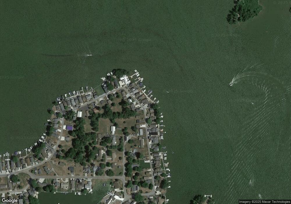
Map
Nearby Homes
- 2122 Wolfs Point Dr
- 2109 Ball Ct
- Island 2
- 2910 Country Club Dr E
- 2014 Fords Ct
- 3120 Country Club Dr E
- 2024 White Creek Dr
- 2124 Boulevard St
- 2807 Barrett Rd
- 3215 Barrett Rd
- 3213 Barrett Rd
- 2415 Barrett Rd
- 2215 E State Road 14
- 1506 Arrowhead Dr
- 1620 Colonial Dr
- 1349 Mitchell Dr
- Integrity 2060 Plan at Old Orchard Estates - Integrity
- 1406 Washington St
- 1402 Washington St
- 908 Arthur St
- 2422 Wolfs Point Dr
- 2410 Wolfs Point Dr
- 2415 Wolfs Point Dr
- 2504 Wolfs Point Dr
- 2506 Wolfs Point Dr
- 2406 Wolfs Point Dr
- 2508 Wolfs Point Dr
- 2402 Wolfs Point Dr
- 2407 Wolfs Point Dr
- 2510 Wolfs Point Dr
- 2512 Wolfs Point Dr
- 2512 Wolfs Point Dr
- 2513 Wolfs Point Dr
- 2320 Wolfs Point Dr
- 2316 Wolfs Point Dr
- 2309 Wolfs Point Dr
- 2314 Wolfs Point Dr
- 2516 Wolfs Point Dr
- 2310 Wolfs Point Dr
- 2307 Huddleston Dr