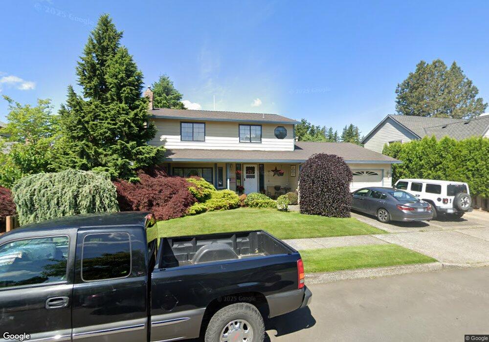
2421 NW Ava Ave Gresham, OR 97030
North Central NeighborhoodEstimated Value: $470,742 - $496,000
4
Beds
3
Baths
1,762
Sq Ft
$275/Sq Ft
Est. Value
About This Home
This home is located at 2421 NW Ava Ave, Gresham, OR 97030 and is currently estimated at $485,186, approximately $275 per square foot. 2421 NW Ava Ave is a home located in Multnomah County with nearby schools including North Gresham Elementary School, Clear Creek Middle School, and Gresham High School.
Ownership History
Date
Name
Owned For
Owner Type
Purchase Details
Closed on
May 27, 2025
Sold by
Aispuro Guadalupe A and Aispuro Mary J
Bought by
Aispuro Mary
Current Estimated Value
Purchase Details
Closed on
May 14, 1998
Sold by
Devore Rogene E and Devore Linda J
Bought by
Aispuro Guadalupe A and Aispuro Mary J
Home Financials for this Owner
Home Financials are based on the most recent Mortgage that was taken out on this home.
Original Mortgage
$105,000
Interest Rate
7.13%
Mortgage Type
Purchase Money Mortgage
Create a Home Valuation Report for This Property
The Home Valuation Report is an in-depth analysis detailing your home's value as well as a comparison with similar homes in the area
Home Values in the Area
Average Home Value in this Area
Purchase History
| Date | Buyer | Sale Price | Title Company |
|---|---|---|---|
| Aispuro Mary | $134,011 | None Listed On Document | |
| Aispuro Guadalupe A | $161,500 | First American Title Ins Co |
Source: Public Records
Mortgage History
| Date | Status | Borrower | Loan Amount |
|---|---|---|---|
| Previous Owner | Aispuro Guadalupe A | $105,000 |
Source: Public Records
Tax History
| Year | Tax Paid | Tax Assessment Tax Assessment Total Assessment is a certain percentage of the fair market value that is determined by local assessors to be the total taxable value of land and additions on the property. | Land | Improvement |
|---|---|---|---|---|
| 2025 | $5,273 | $259,100 | -- | -- |
| 2024 | $5,047 | $251,560 | -- | -- |
| 2023 | $5,047 | $244,240 | -- | -- |
| 2022 | $4,470 | $237,130 | $0 | $0 |
| 2021 | $4,357 | $230,230 | $0 | $0 |
| 2020 | $4,100 | $223,530 | $0 | $0 |
| 2019 | $3,993 | $217,020 | $0 | $0 |
| 2018 | $3,807 | $210,700 | $0 | $0 |
| 2017 | $3,653 | $204,570 | $0 | $0 |
| 2016 | $3,220 | $198,620 | $0 | $0 |
| 2015 | $3,151 | $192,840 | $0 | $0 |
| 2014 | $3,074 | $187,230 | $0 | $0 |
Source: Public Records
Map
Nearby Homes
- 1035 SE 225th Ave
- 21532 SE Alder St
- 2730 NE Roberts Ave
- 21033 SE Clay Ct
- 21400 SE Stark St Unit 2
- 21260 SE Stark St
- 210 SE 218th Ave
- 21525 SE Oak St
- 450 NE 22nd St
- 349 NE 18th St
- 21553 SE Ankeny Terrace
- 21016 SE Stark St Unit 71
- 21016 SE Stark St Unit 69
- 54 NW 13th St
- 1783 1791 NE Beech Place
- 209 SE 214th Ave
- 535 NE 24th St
- 132 SE 214th Ave
- 2013 NW Bella Vista Dr
- 1811 NW 19th St
- 2407 NW Ava Ave
- 2443 NW Ava Ave
- 2416 NW Norman Ave
- 2420 NW Norman Ave
- 2404 NW Norman Ave
- 2375 NW Ava Ave
- 2465 NW Ava Ave
- 2432 NW Ava Ave
- 2448 NW Ava Ave
- 2436 NW Norman Ave
- 2336 NW Norman Ave
- 2388 NW Ava Ave
- 2349 NW Ava Ave
- 2472 NW Ava Ave
- 2487 NW Ava Ave
- 489 NW 24th St
- 2444 NW Norman Ave
- 2411 NW Norman Ave
- 457 NW 24th St
- 2356 NW Ava Ave
Your Personal Tour Guide
Ask me questions while you tour the home.