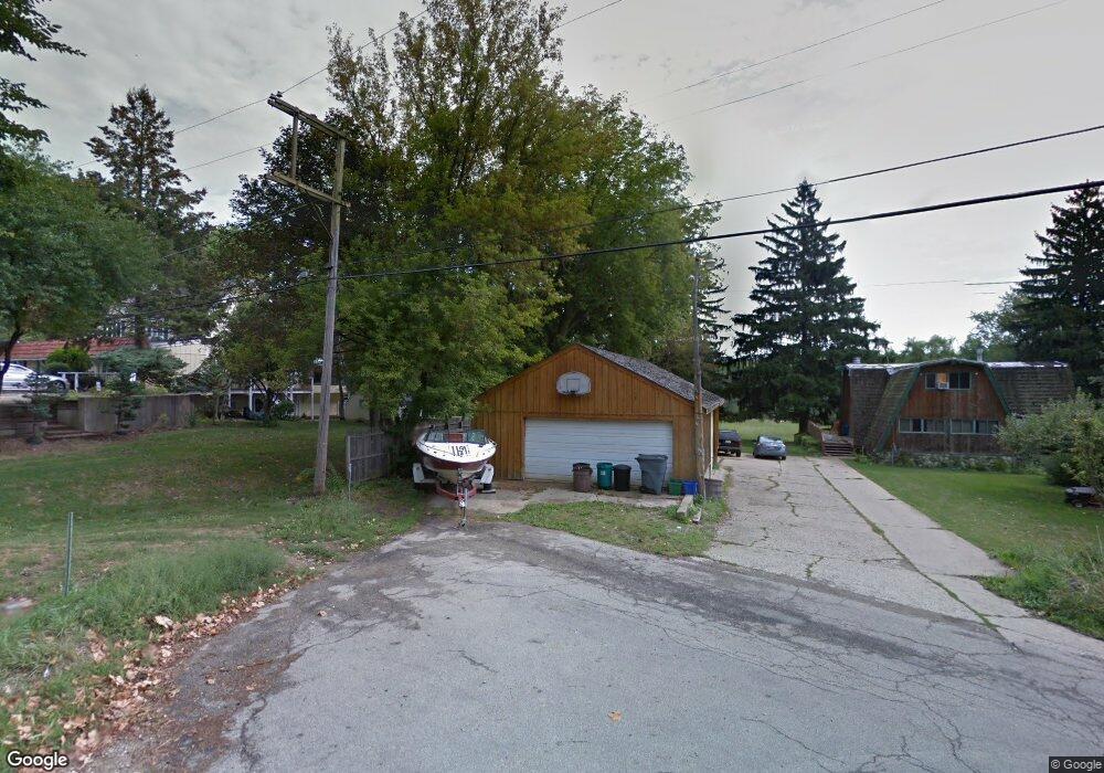
24219 N Riverside Dr Cary, IL 60013
Lyons Prairie NeighborhoodEstimated Value: $49,000 - $635,000
4
Beds
--
Bath
--
Sq Ft
0.47
Acres
About This Home
This home is located at 24219 N Riverside Dr, Cary, IL 60013 and is currently estimated at $259,667. 24219 N Riverside Dr is a home located in Lake County with nearby schools including Deer Path Elementary School, Cary Jr High School, and Cary Grove High School.
Ownership History
Date
Name
Owned For
Owner Type
Purchase Details
Closed on
May 17, 2005
Sold by
Schintgen Leone R
Bought by
Schintgen Leone R and Schintgen Henry G
Current Estimated Value
Home Financials for this Owner
Home Financials are based on the most recent Mortgage that was taken out on this home.
Original Mortgage
$185,500
Interest Rate
6.6%
Mortgage Type
New Conventional
Purchase Details
Closed on
Jan 15, 1995
Sold by
Meyer Thomas K and Meyer Janice L
Bought by
Meyer Janice L
Create a Home Valuation Report for This Property
The Home Valuation Report is an in-depth analysis detailing your home's value as well as a comparison with similar homes in the area
Home Values in the Area
Average Home Value in this Area
Purchase History
| Date | Buyer | Sale Price | Title Company |
|---|---|---|---|
| Schintgen Leone R | -- | Stewart Title Company | |
| Meyer Janice L | -- | Ticor Title Insurance Co |
Source: Public Records
Mortgage History
| Date | Status | Borrower | Loan Amount |
|---|---|---|---|
| Closed | Schintgen Leone R | $185,500 |
Source: Public Records
Tax History Compared to Growth
Tax History
| Year | Tax Paid | Tax Assessment Tax Assessment Total Assessment is a certain percentage of the fair market value that is determined by local assessors to be the total taxable value of land and additions on the property. | Land | Improvement |
|---|---|---|---|---|
| 2024 | $360 | $4,694 | $4,694 | -- |
| 2023 | $374 | $4,449 | $4,449 | -- |
| 2022 | $374 | $4,593 | $4,592 | $1 |
| 2021 | $637 | $7,639 | $4,514 | $3,125 |
| 2020 | $638 | $7,615 | $4,500 | $3,115 |
| 2019 | $643 | $7,414 | $4,381 | $3,033 |
| 2018 | $1,170 | $13,295 | $8,011 | $5,284 |
| 2017 | $1,190 | $13,028 | $7,850 | $5,178 |
| 2016 | $1,192 | $12,537 | $7,554 | $4,983 |
| 2015 | $1,194 | $11,759 | $7,085 | $4,674 |
| 2014 | $1,105 | $10,988 | $5,876 | $5,112 |
| 2012 | $1,021 | $11,177 | $5,977 | $5,200 |
Source: Public Records
Map
Nearby Homes
- 24211 N Riverside Dr
- 28740 W Bloners Dr
- 24744 N Golden Oat Cir
- 28413 W Harvest Glen Cir
- Lot 7 Hickory Nut Grove Rd
- 28876 W Pioneer Grove Rd
- 23490 N Spring Dr
- Lot 1 N Owl Ct
- 23433 N Summit Dr
- 28629 W Ravine Dr
- 0000 Newbold Rd
- 28442 W Main St
- 911 Johnson St
- 71 Flint Dr
- 23277 Enclave Ln
- 902 Spring Beach Way
- 26495 Southgate Trail
- 9209 Jasmine Way
- 1034 Heather Ct
- 24400 N Kelsey Rd
- 24191 N Riverside Dr
- 24179 N Riverside Dr
- 24175 N Riverside Dr
- 24180 N Riverside Dr
- 24165 N Riverside Dr
- 24157 N Riverside Dr
- 28570 W Old Hideaway Rd
- 24151 N Riverside Dr
- 24166 N Riverside Dr
- 24285 N Sunset Ave
- 28695 W Pittner Ave
- 24270 N Woodland Ave
- 24150 N Riverside Dr
- 28688 W Bloners Dr
- 28716 W Bloners Dr
- 28721 W Pittner Ave
- 28679 W Rivers Edge Dr
- 24280 N Sunset Ave
- 28770 W Pittner Ave
- 28737 W Pittner Ave