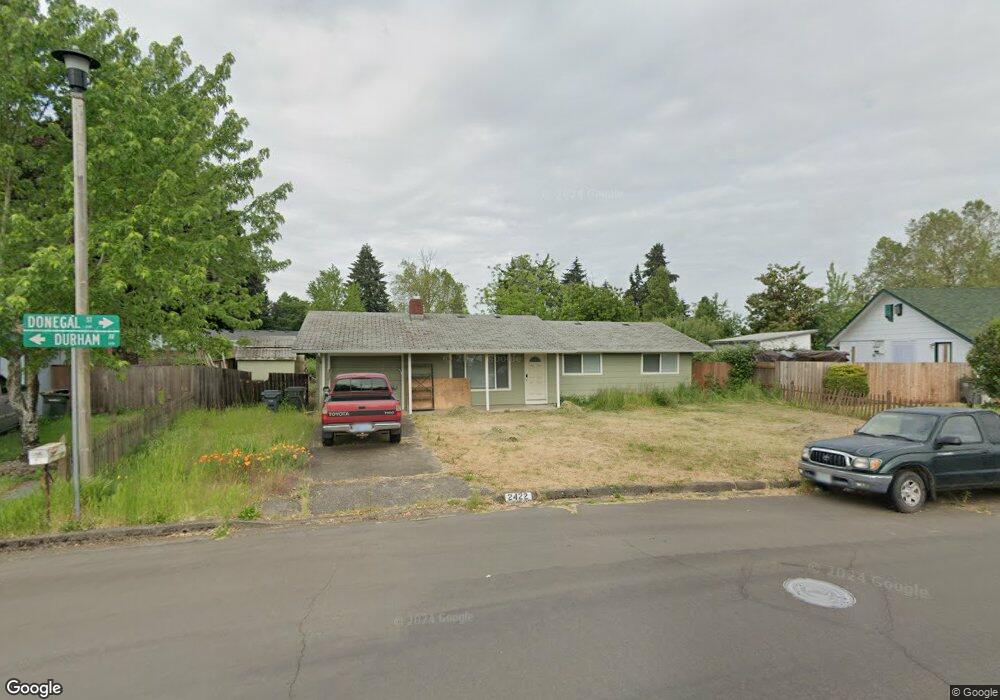
2422 Donegal St Eugene, OR 97404
Santa Clara NeighborhoodEstimated Value: $308,000 - $386,000
3
Beds
1
Bath
960
Sq Ft
$366/Sq Ft
Est. Value
About This Home
This home is located at 2422 Donegal St, Eugene, OR 97404 and is currently estimated at $350,920, approximately $365 per square foot. 2422 Donegal St is a home located in Lane County with nearby schools including Spring Creek Elementary School, Madison Middle School, and North Eugene High School.
Ownership History
Date
Name
Owned For
Owner Type
Purchase Details
Closed on
Oct 27, 2025
Sold by
Moats Christine E
Bought by
Christine E Moats Living Trust and Moats
Current Estimated Value
Purchase Details
Closed on
Sep 25, 2015
Sold by
Atkin Janice and Atkin Dale W
Bought by
Moats Christine E
Home Financials for this Owner
Home Financials are based on the most recent Mortgage that was taken out on this home.
Original Mortgage
$136,000
Interest Rate
3.89%
Mortgage Type
New Conventional
Purchase Details
Closed on
Jan 8, 2009
Sold by
Atkin Dale W and Atkin Janice
Bought by
Atkin Randall D and Atkin Dale W
Create a Home Valuation Report for This Property
The Home Valuation Report is an in-depth analysis detailing your home's value as well as a comparison with similar homes in the area
Home Values in the Area
Average Home Value in this Area
Purchase History
| Date | Buyer | Sale Price | Title Company |
|---|---|---|---|
| Christine E Moats Living Trust | -- | None Listed On Document | |
| Moats Christine E | $170,000 | Fidelity Natl Title Co Of Or | |
| Atkin Randall D | -- | None Available |
Source: Public Records
Mortgage History
| Date | Status | Borrower | Loan Amount |
|---|---|---|---|
| Previous Owner | Moats Christine E | $136,000 |
Source: Public Records
Tax History
| Year | Tax Paid | Tax Assessment Tax Assessment Total Assessment is a certain percentage of the fair market value that is determined by local assessors to be the total taxable value of land and additions on the property. | Land | Improvement |
|---|---|---|---|---|
| 2025 | $2,184 | $170,634 | -- | -- |
| 2024 | $2,173 | $165,665 | -- | -- |
| 2023 | $2,173 | $160,840 | $0 | $0 |
| 2022 | $2,042 | $156,156 | $0 | $0 |
| 2021 | $1,874 | $151,608 | $0 | $0 |
| 2020 | $1,909 | $147,193 | $0 | $0 |
| 2019 | $1,838 | $142,906 | $0 | $0 |
| 2018 | $1,692 | $134,703 | $0 | $0 |
| 2017 | $1,587 | $134,703 | $0 | $0 |
| 2016 | $1,474 | $130,780 | $0 | $0 |
Source: Public Records
Map
Nearby Homes
- 2563 York St
- 2740 Stark St
- 2568 Dover Dr
- 2785 Alyndale Dr
- 2795 Kalmia St
- 2488 Northampton
- 303 Lenore Loop
- 349 Irving Rd
- 2937 Stark St
- 2923 Maranta St
- 2989 Dahlia Ln
- 835 Bobolink Ave
- 2484 Crowther Dr
- 200 Irving Rd
- 401 Sterling Dr
- 1384 David Ave
- 193 Santa Clara Ave
- 2580 Crowther Dr
- 349 Greenfield Ave
- 1725 Allea Dr
- 692 Durham Ave
- 2454 Donegal St
- 2453 Carbona St
- 2431 Carbona St
- 785 Heywood Ave
- 2475 Carbona St
- 755 Heywood Ave Unit VRM
- 755 Heywood Ave
- 674 Durham Ave
- 2486 Donegal St
- 2445 Donegal St
- 667 Durham Ave
- 744 Greenwich Ave
- 725 Heywood Ave
- 2475 Donegal St
- 656 Durham Ave
- 2456 Carbona St
- 683 Heywood Ave
- 2440 Carbona St
- 790 Heywood Ave
Your Personal Tour Guide
Ask me questions while you tour the home.