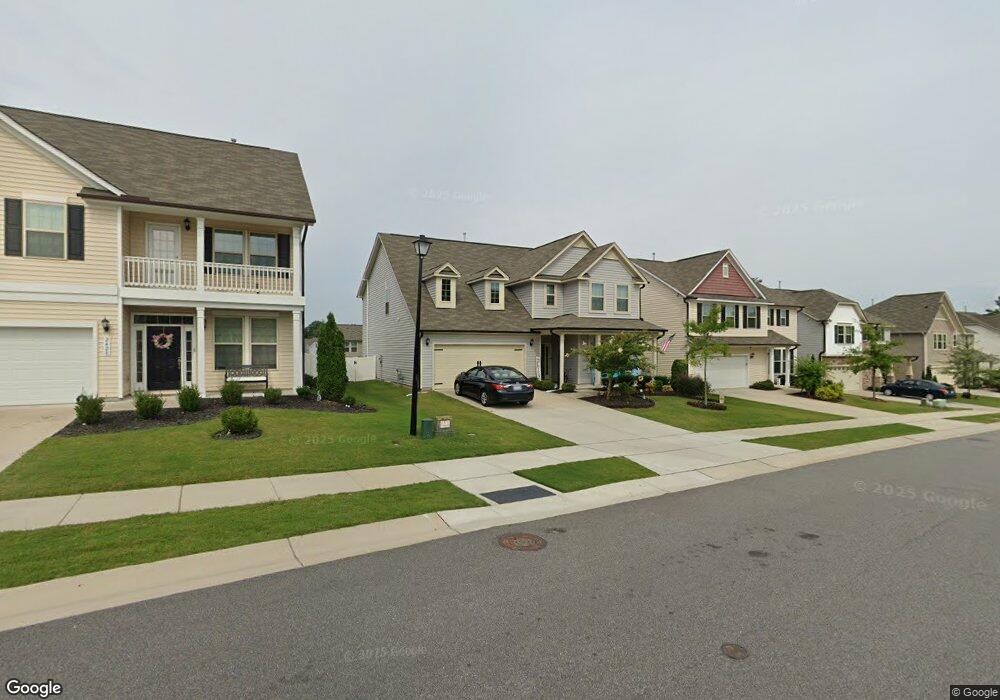
2424 Cedar Rock Dr Unit 519 Wake Forest, NC 27587
Estimated Value: $465,756 - $535,000
3
Beds
3
Baths
2,877
Sq Ft
$173/Sq Ft
Est. Value
About This Home
This home is located at 2424 Cedar Rock Dr Unit 519, Wake Forest, NC 27587 and is currently estimated at $496,689, approximately $172 per square foot. 2424 Cedar Rock Dr Unit 519 is a home located in Wake County with nearby schools including Harris Creek Elementary School, Rolesville Middle School, and Heritage High School.
Ownership History
Date
Name
Owned For
Owner Type
Purchase Details
Closed on
Jan 27, 2020
Sold by
Norris Richard A and Hodges Christina M
Bought by
Wilson Matthew Dane and Wilson Gretchen
Current Estimated Value
Home Financials for this Owner
Home Financials are based on the most recent Mortgage that was taken out on this home.
Original Mortgage
$311,505
Outstanding Balance
$276,338
Interest Rate
3.7%
Mortgage Type
New Conventional
Estimated Equity
$220,351
Purchase Details
Closed on
Mar 5, 2018
Sold by
Dan Rayn Builders Llc
Bought by
Norris Richard A and Hodges Harris Chrostina M
Home Financials for this Owner
Home Financials are based on the most recent Mortgage that was taken out on this home.
Original Mortgage
$279,522
Interest Rate
4.04%
Mortgage Type
New Conventional
Create a Home Valuation Report for This Property
The Home Valuation Report is an in-depth analysis detailing your home's value as well as a comparison with similar homes in the area
Home Values in the Area
Average Home Value in this Area
Purchase History
| Date | Buyer | Sale Price | Title Company |
|---|---|---|---|
| Wilson Matthew Dane | $328,000 | None Available | |
| Norris Richard A | $311,000 | None Available |
Source: Public Records
Mortgage History
| Date | Status | Borrower | Loan Amount |
|---|---|---|---|
| Open | Wilson Matthew Dane | $311,505 | |
| Previous Owner | Norris Richard A | $279,522 |
Source: Public Records
Tax History Compared to Growth
Tax History
| Year | Tax Paid | Tax Assessment Tax Assessment Total Assessment is a certain percentage of the fair market value that is determined by local assessors to be the total taxable value of land and additions on the property. | Land | Improvement |
|---|---|---|---|---|
| 2025 | $4,464 | $461,356 | $105,000 | $356,356 |
| 2024 | $4,448 | $461,356 | $105,000 | $356,356 |
| 2023 | $4,001 | $342,613 | $69,000 | $273,613 |
| 2022 | $3,838 | $342,613 | $69,000 | $273,613 |
| 2021 | $3,772 | $342,613 | $69,000 | $273,613 |
| 2020 | $3,772 | $342,613 | $69,000 | $273,613 |
| 2019 | $3,980 | $319,151 | $66,000 | $253,151 |
| 2018 | $3,302 | $319,151 | $66,000 | $253,151 |
Source: Public Records
Map
Nearby Homes
- 3413 Fairstone Rd
- 2620 Silver Gate Ct
- 2628 Silver Gate Ct
- 2616 Silver Gate Ct
- 2612 Silver Gate Ct
- 2625 Silver Gate Ct
- 2608 Silver Gate Ct
- 2621 Silver Gate Ct
- 2617 Silver Gate Ct
- 2634 Yellow Pine Rd
- 3409 Table Mountain Pine Dr
- 8733 Malmesbury Ln
- 8731 Malmesbury Ln
- 8807 Malmesbury Ln
- 8813 Malmesbury Ln
- 8815 Malmesbury Ln
- Birch Plan at Forestville Station
- Sage Plan at Forestville Station
- Magnolia Plan at Forestville Station
- 2728 Sammish Way
- 2424 Cedar Rock Dr
- 2428 Cedar Rock Dr Unit 518
- 2420 Cedar Rock Dr Unit 520
- 2420 Cedar Rock Dr
- 2432 Cedar Rock Dr
- 2416 Cedar Rock Dr Unit 521
- 3625 Fairstone Rd Unit 375
- 3629 Fairstone Rd Unit 376
- 3621 Fairstone Rd Unit 374
- 2436 Cedar Rock Dr Unit 516
- 2412 Cedar Rock Dr Unit 522
- 2412 Cedar Rock Dr
- 2421 Cedar Rock Dr Unit 483
- 2421 Cedar Rock Dr
- 3633 Fairstone Rd Unit 377
- 2417 Cedar Rock Dr Unit 482
- 2417 Cedar Rock Dr
- 3507 Pilot Cove Way Unit 484
- 3700 Pilot Cove Way
- 3700 Pilot Cove Way Unit 503