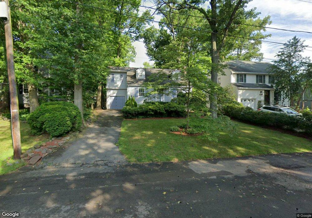
2425 Bryant Ave Scotch Plains, NJ 07076
Estimated Value: $578,858 - $939,000
Studio
--
Bath
1,566
Sq Ft
$500/Sq Ft
Est. Value
About This Home
This home is located at 2425 Bryant Ave, Scotch Plains, NJ 07076 and is currently estimated at $782,465, approximately $499 per square foot. 2425 Bryant Ave is a home located in Union County with nearby schools including Howard B. Brunner Elementary School, Nettingham Middle School, and Scotch Plains-Fanwood High School.
Ownership History
Date
Name
Owned For
Owner Type
Purchase Details
Closed on
Apr 22, 1999
Sold by
Smith Timothy J and Smith Holly H
Bought by
Smith Timothy J and Smith Holly H
Current Estimated Value
Home Financials for this Owner
Home Financials are based on the most recent Mortgage that was taken out on this home.
Original Mortgage
$187,000
Outstanding Balance
$46,997
Interest Rate
6.95%
Estimated Equity
$735,468
Purchase Details
Closed on
May 31, 1994
Sold by
Miller Frederick P
Bought by
Smith Timothy J and Hall Holly M
Create a Home Valuation Report for This Property
The Home Valuation Report is an in-depth analysis detailing your home's value as well as a comparison with similar homes in the area
Home Values in the Area
Average Home Value in this Area
Purchase History
| Date | Buyer | Sale Price | Title Company |
|---|---|---|---|
| Smith Timothy J | -- | Old Republic Natl Title Ins | |
| Smith Timothy J | $237,000 | -- |
Source: Public Records
Mortgage History
| Date | Status | Borrower | Loan Amount |
|---|---|---|---|
| Open | Smith Timothy J | $187,000 |
Source: Public Records
Tax History
| Year | Tax Paid | Tax Assessment Tax Assessment Total Assessment is a certain percentage of the fair market value that is determined by local assessors to be the total taxable value of land and additions on the property. | Land | Improvement |
|---|---|---|---|---|
| 2025 | $11,909 | $101,200 | $33,100 | $68,100 |
| 2024 | $11,558 | $101,200 | $33,100 | $68,100 |
| 2023 | $11,558 | $101,200 | $33,100 | $68,100 |
| 2022 | $11,420 | $101,200 | $33,100 | $68,100 |
| 2021 | $11,401 | $101,200 | $33,100 | $68,100 |
| 2020 | $11,347 | $101,200 | $33,100 | $68,100 |
| 2019 | $11,263 | $101,200 | $33,100 | $68,100 |
| 2018 | $11,073 | $101,200 | $33,100 | $68,100 |
| 2017 | $10,827 | $101,200 | $33,100 | $68,100 |
| 2016 | $10,619 | $101,200 | $33,100 | $68,100 |
| 2015 | $10,445 | $101,200 | $33,100 | $68,100 |
| 2014 | $10,101 | $101,200 | $33,100 | $68,100 |
Source: Public Records
Map
Nearby Homes
- 629 Forest Ave
- 646 Forest Ave
- 928 North Ave
- 2359 Morse Ave
- 2286 Stocker Ln
- 863 North Ave W
- 941 South Ave W
- 608 Hort St
- 143 Stanmore Place
- 2116 Newark Ave
- 108 N Glenwood Rd
- 207 N Scotch Plains Ave
- 514 Downer St
- 2065 Jersey Ave
- 652 W Broad St
- 2290 Concord Rd
- 119 Lamberts Mill Rd
- 21 Old South Ave
- 39 Waldon Rd
- 335 La Grande Ave
- 2421 Bryant Ave
- 2431 Bryant Ave
- 2416 Longfellow Ave
- 2418 Longfellow Ave
- 458 Bryant Ave
- 2414 Longfellow Ave
- 2415 Bryant Ave
- 454 Bryant Ave
- 2430 Bryant Ave
- 2420 Longfellow Ave
- 2400 Poets Place
- 2422 Bryant Ave
- 463 Bryant Ave
- 452 Bryant Ave
- 2410 Bryant Ave
- 451 Longfellow Ave
- 451 Longfellow Ave
- 466 Channing Ave
- 2409 Bryant Ave
- 470 Channing Ave
Your Personal Tour Guide
Ask me questions while you tour the home.