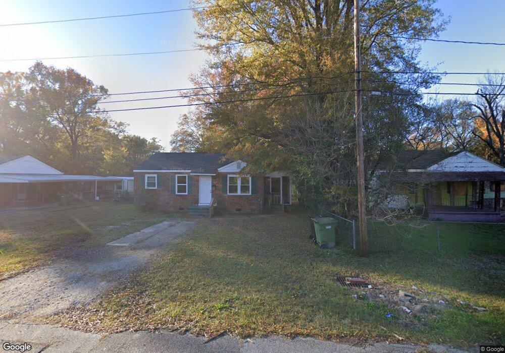
2425 Manning Ave Columbus, GA 31903
South Columbus NeighborhoodEstimated Value: $71,000 - $80,597
2
Beds
2
Baths
858
Sq Ft
$90/Sq Ft
Est. Value
About This Home
This home is located at 2425 Manning Ave, Columbus, GA 31903 and is currently estimated at $77,649, approximately $90 per square foot. 2425 Manning Ave is a home located in Muscogee County with nearby schools including South Columbus Elementary School, Eddy Middle School, and Spencer High School.
Ownership History
Date
Name
Owned For
Owner Type
Purchase Details
Closed on
Jan 22, 2024
Sold by
Zuffelato Glen
Bought by
Caloca Mark Anthony
Current Estimated Value
Home Financials for this Owner
Home Financials are based on the most recent Mortgage that was taken out on this home.
Original Mortgage
$49,900
Outstanding Balance
$35,057
Interest Rate
6.61%
Mortgage Type
Seller Take Back
Estimated Equity
$42,592
Purchase Details
Closed on
Jun 1, 2020
Sold by
Copar Investments Inc
Bought by
Zuffelato Glen
Home Financials for this Owner
Home Financials are based on the most recent Mortgage that was taken out on this home.
Original Mortgage
$18,000
Interest Rate
3.2%
Mortgage Type
New Conventional
Create a Home Valuation Report for This Property
The Home Valuation Report is an in-depth analysis detailing your home's value as well as a comparison with similar homes in the area
Home Values in the Area
Average Home Value in this Area
Purchase History
| Date | Buyer | Sale Price | Title Company |
|---|---|---|---|
| Caloca Mark Anthony | $69,900 | None Listed On Document | |
| Zuffelato Glen | $26,500 | -- |
Source: Public Records
Mortgage History
| Date | Status | Borrower | Loan Amount |
|---|---|---|---|
| Open | Caloca Mark Anthony | $49,900 | |
| Previous Owner | Zuffelato Glen | $18,000 |
Source: Public Records
Tax History
| Year | Tax Paid | Tax Assessment Tax Assessment Total Assessment is a certain percentage of the fair market value that is determined by local assessors to be the total taxable value of land and additions on the property. | Land | Improvement |
|---|---|---|---|---|
| 2025 | $1,355 | $34,604 | $6,196 | $28,408 |
| 2024 | $1,177 | $30,056 | $4,212 | $25,844 |
| 2023 | $764 | $19,392 | $4,212 | $15,180 |
| 2022 | $581 | $14,220 | $4,212 | $10,008 |
| 2021 | $461 | $10,600 | $3,120 | $7,480 |
| 2020 | $577 | $14,136 | $4,212 | $9,924 |
| 2019 | $579 | $14,136 | $4,212 | $9,924 |
| 2018 | $579 | $14,136 | $4,212 | $9,924 |
| 2017 | $581 | $14,136 | $4,212 | $9,924 |
| 2016 | $438 | $10,614 | $1,898 | $8,716 |
| 2015 | $175 | $10,614 | $1,898 | $8,716 |
| 2014 | $439 | $10,614 | $1,898 | $8,716 |
| 2013 | -- | $10,614 | $1,898 | $8,716 |
Source: Public Records
Map
Nearby Homes
- 2404 Bruce Ave
- 2343 Manning Ave
- 2339 Manning Ave
- 2333 Bruce Ave
- 3120 Drake St
- 3063 Meade St
- 2241 Bruce Ave
- 3044 Wise St
- 3233 Hendrix St
- 3048 Knox St
- 58 Ticknor Dr
- 2425 Howe Ave
- 2940 Walker St
- 2102 Somerset Ave
- 2058 Somerset Ave
- 2940 Blan St
- 122 Torch Hill Rd
- 3015 Hendrix St
- 2846 Walker St
- 52 Mathews St
- 2421 Manning Ave
- 2417 Manning Ave
- 2427 Manning Ave
- 2411 Manning Ave
- 2433 Manning Ave
- 2424 Bruce Ave
- 2420 Bruce Ave
- 2430 Bruce Ave
- 2414 Bruce Ave
- 3314 Albert St
- 2410 Bruce Ave
- 2436 Bruce Ave
- 3320 Albert St
- 3315 Walker St
- 2442 Bruce Ave
- 3311 Walker St
- 2422 Banks Ave
- 2450 Bruce Ave
- 2409 Bruce Ave
- 2435 Bruce Ave
Your Personal Tour Guide
Ask me questions while you tour the home.