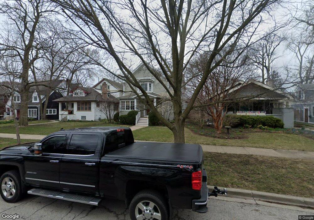
2425 Simpson St Evanston, IL 60201
North Evanston NeighborhoodEstimated Value: $947,000 - $1,091,000
3
Beds
2
Baths
3,005
Sq Ft
$351/Sq Ft
Est. Value
About This Home
This home is located at 2425 Simpson St, Evanston, IL 60201 and is currently estimated at $1,054,623, approximately $350 per square foot. 2425 Simpson St is a home located in Cook County with nearby schools including Lincolnwood Elementary School, Haven Middle School, and Evanston Township High School.
Ownership History
Date
Name
Owned For
Owner Type
Purchase Details
Closed on
Jan 3, 2001
Sold by
Jose Paul E and Miller Mary E
Bought by
Krupkin Stephen D and Krupkin Elizabeth M
Current Estimated Value
Home Financials for this Owner
Home Financials are based on the most recent Mortgage that was taken out on this home.
Original Mortgage
$375,900
Outstanding Balance
$134,144
Interest Rate
7.62%
Estimated Equity
$920,479
Create a Home Valuation Report for This Property
The Home Valuation Report is an in-depth analysis detailing your home's value as well as a comparison with similar homes in the area
Home Values in the Area
Average Home Value in this Area
Purchase History
| Date | Buyer | Sale Price | Title Company |
|---|---|---|---|
| Krupkin Stephen D | $470,000 | -- |
Source: Public Records
Mortgage History
| Date | Status | Borrower | Loan Amount |
|---|---|---|---|
| Open | Krupkin Stephen D | $375,900 |
Source: Public Records
Tax History
| Year | Tax Paid | Tax Assessment Tax Assessment Total Assessment is a certain percentage of the fair market value that is determined by local assessors to be the total taxable value of land and additions on the property. | Land | Improvement |
|---|---|---|---|---|
| 2025 | $19,775 | $115,000 | $21,600 | $93,400 |
| 2024 | $19,775 | $85,000 | $20,250 | $64,750 |
| 2023 | $18,950 | $85,000 | $20,250 | $64,750 |
| 2022 | $18,950 | $85,000 | $20,250 | $64,750 |
| 2021 | $21,662 | $84,956 | $13,500 | $71,456 |
| 2020 | $21,432 | $84,956 | $13,500 | $71,456 |
| 2019 | $21,046 | $93,256 | $13,500 | $79,756 |
| 2018 | $19,321 | $73,957 | $11,250 | $62,707 |
| 2017 | $18,833 | $73,957 | $11,250 | $62,707 |
| 2016 | $18,085 | $73,957 | $11,250 | $62,707 |
| 2015 | $16,271 | $63,307 | $9,450 | $53,857 |
| 2014 | $16,131 | $63,307 | $9,450 | $53,857 |
| 2013 | $15,744 | $63,307 | $9,450 | $53,857 |
Source: Public Records
Map
Nearby Homes
- 1915 - 2 Grant St
- 2701 Noyes St
- 2810 Simpson St
- 1811 Hartrey Ave
- 9433 Lincolnwood Dr
- 1915 Grant St
- 1822 Brown Ave
- 2509 Pioneer Rd
- 9435 Central Park Ave
- 2717 Harrison St
- 2324 Central St Unit 2B
- 9301 Drake Ave
- 1813 Dodge Ave
- 2955 Colfax St
- 2726 Central St Unit 3A
- 2726 Central St Unit 2D
- 9200 E Prairie Rd Unit 209A
- 2611 Walnut Ave
- 2201 Central St Unit 3N
- 2505 Prairie Ave Unit 2K
- 2421 Simpson St
- 2429 Simpson St
- 2419 Simpson St
- 2433 Simpson St
- 2415 Simpson St
- 2437 Simpson St
- 2411 Simpson St
- 2048 Hawthorne Ln
- 2428 Payne St
- 2424 Payne St
- 2430 Payne St
- 2409 Simpson St
- 2418 Payne St
- 2426 Simpson St
- 2500 Payne St
- 2430 Simpson St
- 2416 Payne St
- 2111 Mcdaniel Ave
- 2115 Mcdaniel Ave
- 2123 Mcdaniel Ave
Your Personal Tour Guide
Ask me questions while you tour the home.