2427 Davis Rd Eastanollee, GA 30538
Estimated Value: $226,000 - $333,921
3
Beds
2
Baths
1,512
Sq Ft
$183/Sq Ft
Est. Value
About This Home
This home is located at 2427 Davis Rd, Eastanollee, GA 30538 and is currently estimated at $276,974, approximately $183 per square foot. 2427 Davis Rd is a home located in Stephens County with nearby schools including Stephens County High School.
Ownership History
Date
Name
Owned For
Owner Type
Purchase Details
Closed on
Apr 21, 2009
Sold by
Davis James Robert
Bought by
Davis James E
Current Estimated Value
Purchase Details
Closed on
Mar 14, 2007
Sold by
Not Provided
Bought by
Davis James R
Purchase Details
Closed on
Aug 5, 2002
Bought by
<Buyer Info Not Present>
Create a Home Valuation Report for This Property
The Home Valuation Report is an in-depth analysis detailing your home's value as well as a comparison with similar homes in the area
Home Values in the Area
Average Home Value in this Area
Purchase History
| Date | Buyer | Sale Price | Title Company |
|---|---|---|---|
| Davis James E | -- | -- | |
| Davis James R | $45,000 | -- | |
| <Buyer Info Not Present> | -- | -- |
Source: Public Records
Tax History Compared to Growth
Tax History
| Year | Tax Paid | Tax Assessment Tax Assessment Total Assessment is a certain percentage of the fair market value that is determined by local assessors to be the total taxable value of land and additions on the property. | Land | Improvement |
|---|---|---|---|---|
| 2025 | $2,461 | $106,794 | $21,427 | $85,367 |
| 2024 | $2,284 | $76,993 | $21,427 | $55,566 |
| 2023 | $1,944 | $67,317 | $15,738 | $51,579 |
| 2022 | $1,870 | $64,812 | $15,738 | $49,074 |
| 2021 | $1,848 | $61,086 | $15,738 | $45,348 |
| 2020 | $1,852 | $60,655 | $15,738 | $44,917 |
| 2019 | $1,836 | $59,906 | $14,989 | $44,917 |
| 2018 | $1,526 | $50,126 | $5,328 | $44,798 |
| 2017 | $441 | $15,699 | $5,328 | $10,371 |
| 2016 | $434 | $15,699 | $5,328 | $10,371 |
| 2015 | $454 | $15,675 | $5,328 | $10,347 |
| 2014 | $462 | $15,676 | $5,328 | $10,348 |
| 2013 | -- | $17,060 | $6,660 | $10,400 |
Source: Public Records
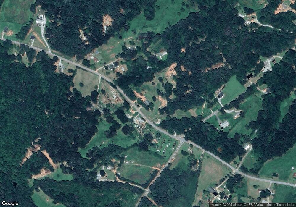
Map
Nearby Homes
- 197 Howard Rd
- 3.35 ACRES Keener Rd
- 451 Defoor Rd
- 160 Whitworth Cir
- 17 Pinetree Rd
- 290 Indian Dr
- 7 Jottings Dr
- 177 E Silver Shoals Rd
- 219 Eastanollee Rd
- 836 Swilling Rd
- 2230 Tower Rd
- 672 Crawford Cir
- 303 Oak Way Dr
- 271 Oak Way Dr
- 56 Crawford Manor Dr
- 46 Cedar Ridge Dr
- 513 S Red Rock Rd
- 0 Eastanollee Rd Unit 10440265
- 883 Dortch Rd
- 825 Dortch Rd
- 2303 Davis Rd
- 2303 Davis Rd
- 69 Denver Whitworth Rd
- 124 Denver Whitworth Rd
- 2416 Davis Rd
- 2409 Davis Rd
- 125 Denver Whitworth Rd
- 2426 Davis Rd
- 2065 Davis Rd
- 2192 Davis Rd
- 2029 Davis Rd Unit 60.10
- 2029 Davis Rd Unit 7.17
- 2029 Davis Rd Unit 52.93
- 2029 Davis Rd
- 2434 Defore Rd Unit B X
- 2434 Defore Rd
- 3158 Defoor Rd
- 2485 Davis Rd
- 11 Davis Rd Unit 11 ACRES+/-
- 2054 Davis Rd