2429 Cape Cod Cir Elgin, IL 60124
Providence NeighborhoodEstimated Value: $548,035 - $664,000
3
Beds
2
Baths
2,655
Sq Ft
$222/Sq Ft
Est. Value
About This Home
This home is located at 2429 Cape Cod Cir, Elgin, IL 60124 and is currently estimated at $590,009, approximately $222 per square foot. 2429 Cape Cod Cir is a home located in Kane County with nearby schools including Howard B. Thomas Grade School, Prairie Knolls Middle School, and Central Middle School.
Ownership History
Date
Name
Owned For
Owner Type
Purchase Details
Closed on
Jul 19, 2012
Sold by
Cook Leland M and Cook Sandra E
Bought by
The Chicago Trust Company Na
Current Estimated Value
Purchase Details
Closed on
Aug 5, 2010
Sold by
Pulte Home Corporation
Bought by
Cook Leland M and Cook Sandra E
Home Financials for this Owner
Home Financials are based on the most recent Mortgage that was taken out on this home.
Original Mortgage
$261,760
Interest Rate
4.45%
Mortgage Type
New Conventional
Create a Home Valuation Report for This Property
The Home Valuation Report is an in-depth analysis detailing your home's value as well as a comparison with similar homes in the area
Home Values in the Area
Average Home Value in this Area
Purchase History
| Date | Buyer | Sale Price | Title Company |
|---|---|---|---|
| The Chicago Trust Company Na | -- | None Available | |
| Cook Leland M | $378,000 | None Available |
Source: Public Records
Mortgage History
| Date | Status | Borrower | Loan Amount |
|---|---|---|---|
| Previous Owner | Cook Leland M | $261,760 |
Source: Public Records
Tax History
| Year | Tax Paid | Tax Assessment Tax Assessment Total Assessment is a certain percentage of the fair market value that is determined by local assessors to be the total taxable value of land and additions on the property. | Land | Improvement |
|---|---|---|---|---|
| 2024 | $13,093 | $165,097 | $39,623 | $125,474 |
| 2023 | $12,489 | $149,152 | $35,796 | $113,356 |
| 2022 | $11,976 | $136,001 | $32,640 | $103,361 |
| 2021 | $11,553 | $127,151 | $30,516 | $96,635 |
| 2020 | $11,199 | $121,385 | $29,132 | $92,253 |
| 2019 | $10,839 | $115,627 | $27,750 | $87,877 |
| 2018 | $11,682 | $122,531 | $26,142 | $96,389 |
| 2017 | $11,223 | $115,836 | $24,714 | $91,122 |
| 2016 | $11,152 | $107,465 | $22,928 | $84,537 |
| 2015 | -- | $98,502 | $21,016 | $77,486 |
| 2014 | -- | $97,286 | $20,757 | $76,529 |
| 2013 | -- | $86,936 | $21,305 | $65,631 |
Source: Public Records
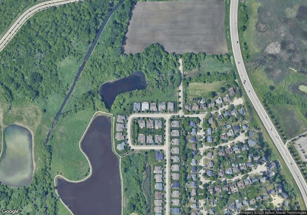
Map
Nearby Homes
- 500 S Randall Rd
- 593 Covered Bridge Dr
- 581 Lismore Cir
- 585 Lismore Cir
- 587 Lismore Cir
- 571 Lismore Cir
- 589 Lismore Cir
- 591 Lismore Cir
- 592 Lismore Cir
- 611 Woodbridge Dr
- 593 Lismore Cir
- 549 Arye Dr
- 594 Lismore Cir
- 552 Arye Dr
- 595 Lismore Cir
- 596 Lismore Cir
- 598 Lismore Cir
- 600 Lismore Cir
- 558 Arye Dr
- 647 Tuscan View
- 2431 Cape Cod Cir
- 2427 Cape Cod Cir
- 2433 Cape Cod Cir
- 2428 Cape Cod Cir
- 2425 Cape Cod Cir
- 2426 Cape Cod Cir
- 2430 Cape Cod Cir
- 4123 Cape Cod Cir
- 557 Tuscan View
- 557 Tuscan View Dr
- 2446 Cape Cod Cir
- 2448 Cape Cod Cir
- 2444 Cape Cod Cir
- 2437 Cape Cod Cir
- 559 Tuscan View Dr
- 2520 Otter Creek Ln
- 2439 Cape Cod Cir
- 561 Tuscan View
- 500 Covered Bridge Dr
- 2510 Otter Creek Ln
Your Personal Tour Guide
Ask me questions while you tour the home.