Estimated Value: $552,674 - $898,000
12
Beds
8
Baths
4,600
Sq Ft
$149/Sq Ft
Est. Value
About This Home
This home is located at 2429 Eagle Dr, Ammon, ID 83406 and is currently estimated at $684,919, approximately $148 per square foot. 2429 Eagle Dr is a home located in Bonneville County with nearby schools including Hillview Elementary School, Sandcreek Middle School, and Hillcrest High School.
Ownership History
Date
Name
Owned For
Owner Type
Purchase Details
Closed on
Dec 28, 2017
Sold by
Smith Philip B
Bought by
Smith Philip B and The Philip B Smith Trust
Current Estimated Value
Purchase Details
Closed on
May 11, 2006
Sold by
Foxboro Llc
Bought by
Markison Kenneth D and Smith Phillip B
Home Financials for this Owner
Home Financials are based on the most recent Mortgage that was taken out on this home.
Original Mortgage
$268,000
Interest Rate
6.37%
Mortgage Type
Adjustable Rate Mortgage/ARM
Create a Home Valuation Report for This Property
The Home Valuation Report is an in-depth analysis detailing your home's value as well as a comparison with similar homes in the area
Purchase History
| Date | Buyer | Sale Price | Title Company |
|---|---|---|---|
| Smith Philip B | -- | None Available | |
| Markison Kenneth D | -- | Amerititle |
Source: Public Records
Mortgage History
| Date | Status | Borrower | Loan Amount |
|---|---|---|---|
| Previous Owner | Markison Kenneth D | $268,000 |
Source: Public Records
Tax History
| Year | Tax Paid | Tax Assessment Tax Assessment Total Assessment is a certain percentage of the fair market value that is determined by local assessors to be the total taxable value of land and additions on the property. | Land | Improvement |
|---|---|---|---|---|
| 2025 | $4,601 | $728,489 | $64,264 | $664,225 |
| 2024 | $4,726 | $741,667 | $53,287 | $688,380 |
| 2023 | $4,572 | $725,241 | $59,540 | $665,701 |
| 2022 | $5,162 | $704,763 | $44,282 | $660,481 |
| 2021 | $4,373 | $421,463 | $40,833 | $380,630 |
| 2019 | $4,862 | $387,570 | $36,320 | $351,250 |
| 2018 | $4,540 | $361,578 | $33,478 | $328,100 |
| 2017 | $4,407 | $328,653 | $31,093 | $297,560 |
| 2016 | $4,137 | $320,557 | $30,877 | $289,680 |
| 2015 | $3,692 | $272,670 | $27,853 | $244,817 |
| 2014 | $63,701 | $272,670 | $27,852 | $244,818 |
| 2013 | $3,370 | $252,689 | $21,600 | $231,089 |
Source: Public Records
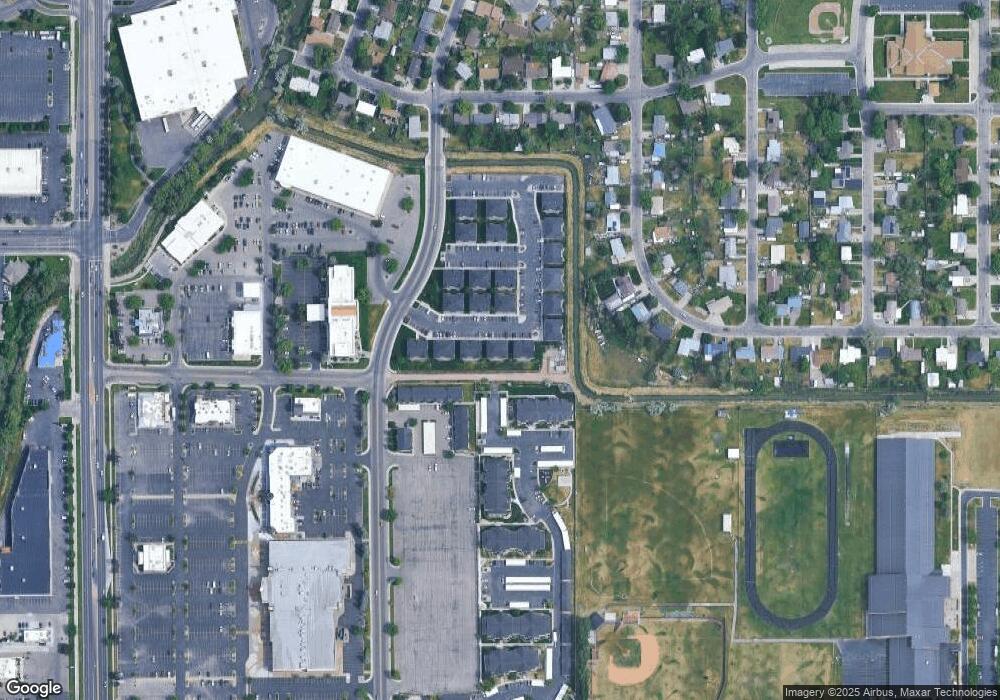
Map
Nearby Homes
- Lot 7 Eagle Dr
- 2985 Eagle Dr
- 2850 Teton St
- TBD Eagle Dr Unit 9
- 2764 Derrald Ave
- TBD E 25th Cir
- 1960 Bittern Dr
- 1820 Falcon Dr
- 2710 E 17th St
- 1715 S Curlew Dr
- 1860 Heather Cir
- 3280 Circle s Dr
- 2305 Henryanna Ave
- 1504 Falcon Dr
- 2401 Hoopes Ave
- 2881 Sunburst Dr Unit 2881
- 2955 Central Ave
- 3439 Lancer Ave
- 3407 Lancer Ave
- 3337 Lancer Ave
- 2421 Eagle Dr
- 2437 Eagle Dr
- Unit #12 Eagle Dr
- Unit #6 Eagle Dr
- Unit #5 Eagle Dr
- Unit #4 Eagle Dr
- Unit #8 Eagle Dr
- Unit #11 Eagle Dr
- Unit #10 Eagle Dr
- Unit #7 Eagle Dr
- Unit #5 Eagle Dr Unit 5
- Unit #4 Eagle Dr Unit 4
- Unit #3 Eagle Dr Unit 3
- Unit #11 Eagle Dr Unit 11
- Unit #10 Eagle Dr Unit 10
- Unit #9 Eagle Dr Unit 9
- Unit #8 Eagle Dr Unit 8
- Unit #7 Eagle Dr Unit 7
- Unit #6 Eagle Dr Unit 6
- Unit #12 Eagle Dr Unit 12
Your Personal Tour Guide
Ask me questions while you tour the home.