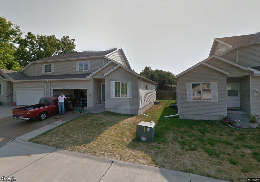
2429 Longhurst Ct Muscatine, IA 52761
Estimated Value: $189,140 - $227,000
3
Beds
2
Baths
1,655
Sq Ft
$126/Sq Ft
Est. Value
About This Home
This home is located at 2429 Longhurst Ct, Muscatine, IA 52761 and is currently estimated at $209,035, approximately $126 per square foot. 2429 Longhurst Ct is a home located in Muscatine County with nearby schools including McKinley Elementary School, Susan Clark Junior High School, and Muscatine High School.
Ownership History
Date
Name
Owned For
Owner Type
Purchase Details
Closed on
Jul 24, 2020
Sold by
Mashek Thomas
Bought by
Clark Alfred Craig and Clark Chris A
Current Estimated Value
Home Financials for this Owner
Home Financials are based on the most recent Mortgage that was taken out on this home.
Original Mortgage
$128,000
Outstanding Balance
$113,502
Interest Rate
3.1%
Mortgage Type
New Conventional
Estimated Equity
$95,533
Create a Home Valuation Report for This Property
The Home Valuation Report is an in-depth analysis detailing your home's value as well as a comparison with similar homes in the area
Home Values in the Area
Average Home Value in this Area
Purchase History
| Date | Buyer | Sale Price | Title Company |
|---|---|---|---|
| Clark Alfred Craig | -- | None Available |
Source: Public Records
Mortgage History
| Date | Status | Borrower | Loan Amount |
|---|---|---|---|
| Open | Clark Alfred Craig | $128,000 |
Source: Public Records
Tax History Compared to Growth
Tax History
| Year | Tax Paid | Tax Assessment Tax Assessment Total Assessment is a certain percentage of the fair market value that is determined by local assessors to be the total taxable value of land and additions on the property. | Land | Improvement |
|---|---|---|---|---|
| 2025 | $2,834 | $157,300 | $7,680 | $149,620 |
| 2024 | $2,834 | $156,350 | $7,680 | $148,670 |
| 2023 | $3,166 | $164,820 | $8,141 | $156,679 |
| 2022 | $3,116 | $157,410 | $7,680 | $149,730 |
| 2021 | $3,116 | $152,740 | $7,680 | $145,060 |
| 2020 | $3,032 | $153,070 | $7,680 | $145,390 |
| 2019 | $2,870 | $138,450 | $0 | $0 |
| 2018 | $2,828 | $138,450 | $0 | $0 |
| 2017 | $2,828 | $138,450 | $0 | $0 |
| 2016 | $2,934 | $138,450 | $0 | $0 |
| 2015 | $2,934 | $143,820 | $0 | $0 |
| 2014 | $3,076 | $143,820 | $0 | $0 |
Source: Public Records
Map
Nearby Homes
- 208 Fletcher Ave
- 2207 Lucas St
- 1143 Logan St
- 1619 Devitt Ave
- 2109 Americana Ave
- 1617 W Acre Dr
- 0 High Street Parcel
- 111 Gilbert St
- 1903 Hershey Ave
- 1416 Duncan Dr
- 1827 Hershey Ave
- 3120 Linden Ln
- 1507 Duncan Dr
- PARCEL ID 0834280023 Dillaway St
- 1603 Lucas St
- 1604 Duncan Dr
- 3103 Ginkgo Ln
- 0 Parcel 1302108019 (Busch St)
- 836 Newell Ave
- 1506 Buell St
- 2431 Longhurst Ct
- 2425 Longhurst Ct
- 2423 Longhurst Ct
- 2419 Longhurst Ln
- 2435 Longhurst Ct
- 2437 Longhurst Ct
- 2441 Longhurst Ct
- 2467 Longhurst Ct
- 2415 Longhurst Ln
- 2443 Longhurst Ct
- 2465 Longhurst Ct
- 2447 Longhurst Ct
- 2518 Lucas St
- 2411 Longhurst Ln
- 2420 Longhurst Ln
- 2461 Longhurst Ct
- 2449 Longhurst Ct
- 2416 Longhurst Ln
- 2453 Longhurst Ct
- 2459 Longhurst Ct