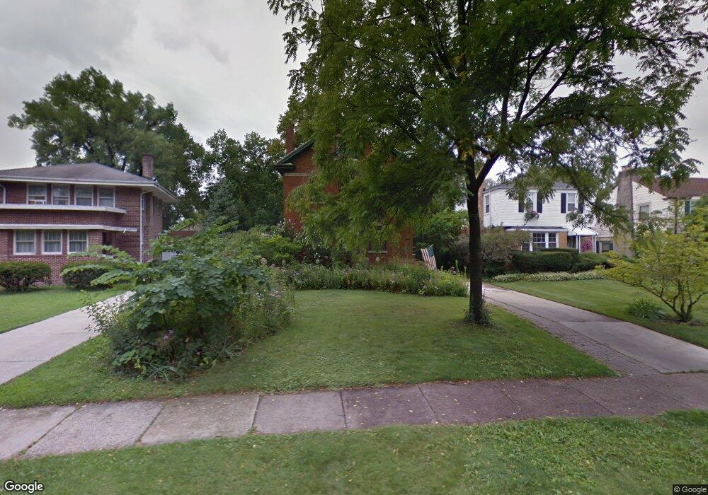
243 Addison Rd Riverside, IL 60546
Estimated Value: $677,253 - $800,000
4
Beds
3
Baths
2,464
Sq Ft
$302/Sq Ft
Est. Value
About This Home
This home is located at 243 Addison Rd, Riverside, IL 60546 and is currently estimated at $744,563, approximately $302 per square foot. 243 Addison Rd is a home located in Cook County with nearby schools including Central Elementary School, L J Hauser Jr High School, and Riverside Brookfield High School.
Ownership History
Date
Name
Owned For
Owner Type
Purchase Details
Closed on
Mar 22, 2022
Sold by
Beedle Dennis D and Beedle Y
Bought by
Beedle Dennis D and Baumann Margaret M
Current Estimated Value
Purchase Details
Closed on
Feb 23, 2022
Sold by
Beedle Dennis D and Beedle Y
Bought by
Beedle Dennis D and Baumann Margaret M
Create a Home Valuation Report for This Property
The Home Valuation Report is an in-depth analysis detailing your home's value as well as a comparison with similar homes in the area
Home Values in the Area
Average Home Value in this Area
Purchase History
| Date | Buyer | Sale Price | Title Company |
|---|---|---|---|
| Beedle Dennis D | -- | -- | |
| Beedle Dennis D | -- | -- |
Source: Public Records
Tax History
| Year | Tax Paid | Tax Assessment Tax Assessment Total Assessment is a certain percentage of the fair market value that is determined by local assessors to be the total taxable value of land and additions on the property. | Land | Improvement |
|---|---|---|---|---|
| 2025 | $16,947 | $52,842 | $9,352 | $43,490 |
| 2024 | $16,947 | $52,842 | $9,352 | $43,490 |
| 2023 | $15,632 | $56,291 | $9,352 | $46,939 |
| 2022 | $15,632 | $44,601 | $8,183 | $36,418 |
| 2021 | $15,053 | $44,231 | $8,183 | $36,048 |
| 2020 | $15,642 | $47,040 | $8,183 | $38,857 |
| 2019 | $12,995 | $40,351 | $7,481 | $32,870 |
| 2018 | $13,486 | $42,913 | $7,481 | $35,432 |
| 2017 | $13,069 | $42,913 | $7,481 | $35,432 |
| 2016 | $12,750 | $38,701 | $6,546 | $32,155 |
| 2015 | $13,315 | $41,317 | $6,546 | $34,771 |
| 2014 | $13,105 | $41,317 | $6,546 | $34,771 |
| 2013 | $11,868 | $40,672 | $6,546 | $34,126 |
Source: Public Records
Map
Nearby Homes
- 269 Shenstone Rd
- 108 E Burlington St Unit B
- 369 Addison Rd
- 231 Bartram Rd
- 10 E Burlington St Unit 2C
- 10 E Burlington St Unit 2B
- 475 Shenstone Rd Unit 104
- 475 Shenstone Rd Unit 304
- 475 Shenstone Rd Unit 303
- 484 Shenstone Rd
- 315 Bartram Rd
- 280 Blackhawk Rd
- 176 Riverside Rd
- 478 Kent Rd
- 101 Southcote Rd
- 305 Desplaines Ave
- 78 Pine Ave
- 262 Lionel Rd
- 220 Maplewood Rd
- 410 Repton Rd
- 239 Addison Rd
- 235 Addison Rd
- 255 Addison Rd
- 231 Addison Rd
- 259 Addison Rd
- 227 Addison Rd
- 70 N Herbert Rd
- 228 Herrick Rd
- 230 Herrick Rd
- 223 Addison Rd
- 224 Herrick Rd
- 234 Herrick Rd
- 222 Herrick Rd
- 240 Addison Rd
- 66 N Herbert Rd
- 244 Addison Rd
- 236 Addison Rd
- 228 Addison Rd
- 248 Addison Rd
- 238 Herrick Rd
Your Personal Tour Guide
Ask me questions while you tour the home.