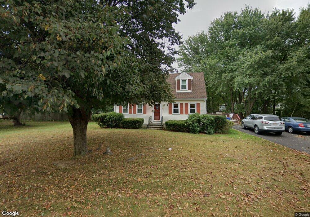
243 Birchcroft Rd Leominster, MA 01453
Estimated Value: $444,000 - $515,000
3
Beds
2
Baths
1,428
Sq Ft
$347/Sq Ft
Est. Value
About This Home
This home is located at 243 Birchcroft Rd, Leominster, MA 01453 and is currently estimated at $495,321, approximately $346 per square foot. 243 Birchcroft Rd is a home located in Worcester County with nearby schools including Leominster High School, St. Leo School, and St. Anna Catholic School.
Ownership History
Date
Name
Owned For
Owner Type
Purchase Details
Closed on
Jun 16, 2006
Sold by
Cacciapouti Brian C and Cacciapouti Carol J
Bought by
Doyle Jeanette M and Doyle Steven J
Current Estimated Value
Home Financials for this Owner
Home Financials are based on the most recent Mortgage that was taken out on this home.
Original Mortgage
$228,000
Outstanding Balance
$134,420
Interest Rate
6.62%
Mortgage Type
Purchase Money Mortgage
Estimated Equity
$360,901
Purchase Details
Closed on
Aug 26, 1994
Sold by
Williamson Charles A
Bought by
Cacciapouti Brian C and Cacciapouti Carol
Home Financials for this Owner
Home Financials are based on the most recent Mortgage that was taken out on this home.
Original Mortgage
$113,400
Interest Rate
8.65%
Mortgage Type
Purchase Money Mortgage
Create a Home Valuation Report for This Property
The Home Valuation Report is an in-depth analysis detailing your home's value as well as a comparison with similar homes in the area
Home Values in the Area
Average Home Value in this Area
Purchase History
| Date | Buyer | Sale Price | Title Company |
|---|---|---|---|
| Doyle Jeanette M | $285,000 | -- | |
| Cacciapouti Brian C | $126,000 | -- |
Source: Public Records
Mortgage History
| Date | Status | Borrower | Loan Amount |
|---|---|---|---|
| Open | Doyle Jeanette M | $228,000 | |
| Closed | Doyle Jeanette M | $57,000 | |
| Previous Owner | Cacciapouti Brian C | $14,800 | |
| Previous Owner | Cacciapouti Brian C | $103,600 | |
| Previous Owner | Cacciapouti Brian C | $113,400 |
Source: Public Records
Tax History Compared to Growth
Tax History
| Year | Tax Paid | Tax Assessment Tax Assessment Total Assessment is a certain percentage of the fair market value that is determined by local assessors to be the total taxable value of land and additions on the property. | Land | Improvement |
|---|---|---|---|---|
| 2025 | $5,916 | $421,700 | $150,200 | $271,500 |
| 2024 | $5,721 | $394,300 | $142,900 | $251,400 |
| 2023 | $5,565 | $358,100 | $124,400 | $233,700 |
| 2022 | $5,289 | $319,400 | $108,200 | $211,200 |
| 2021 | $4,930 | $271,900 | $84,200 | $187,700 |
| 2020 | $4,531 | $252,000 | $84,200 | $167,800 |
| 2019 | $4,448 | $239,900 | $80,100 | $159,800 |
| 2018 | $4,372 | $226,200 | $77,700 | $148,500 |
| 2017 | $4,110 | $208,300 | $72,600 | $135,700 |
| 2016 | $3,985 | $203,500 | $72,600 | $130,900 |
| 2015 | $3,892 | $200,200 | $72,600 | $127,600 |
| 2014 | $3,854 | $204,000 | $79,100 | $124,900 |
Source: Public Records
Map
Nearby Homes
- 12 Walden Ct
- 25 Crimson Ct
- 871 Pleasant St
- 24 Starling Way
- 47 Carolyn St
- 15 Peach Tree Ln
- 35 Hill St
- 112 Overlook Dr
- 41 Hill St
- 6 Argentine St
- 74 Crisci St
- 102 Chapman Place Unit 102
- 76 Jamestown Rd
- 46 Eugene St
- 109 Weathervane Dr
- 197 Chapman Place Unit 197
- 28 Dupont Cir
- 482 Grant St
- 23 Lantern Ln
- 3 Leo Gagnon Way Unit 3