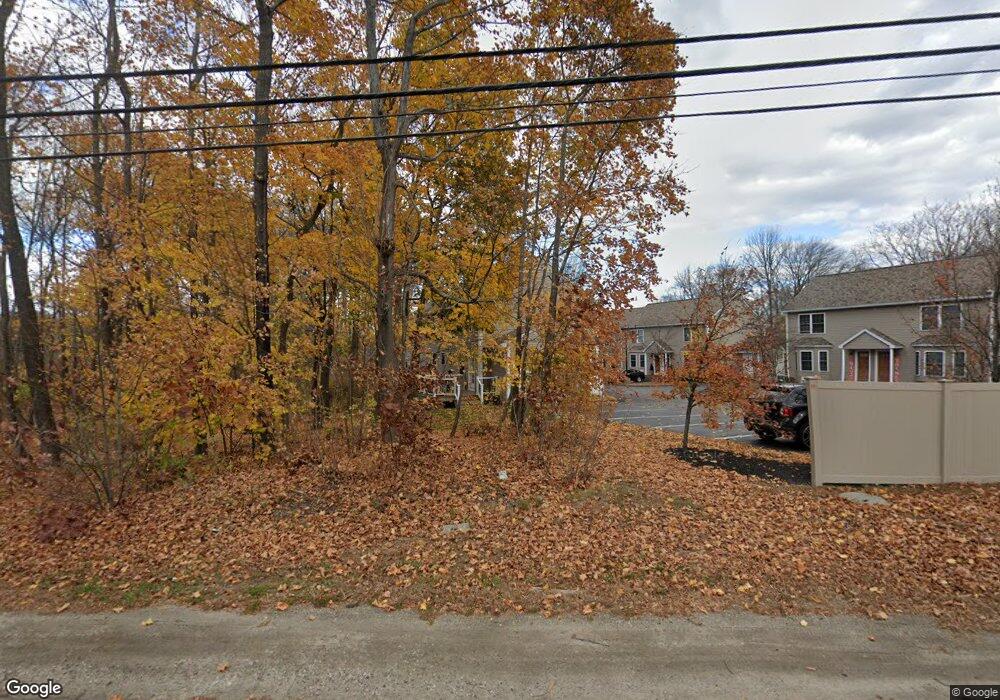
243 Conant St Unit 9 Westbrook, ME 04092
Estimated Value: $332,000 - $385,000
2
Beds
2
Baths
1,092
Sq Ft
$326/Sq Ft
Est. Value
About This Home
This home is located at 243 Conant St Unit 9, Westbrook, ME 04092 and is currently estimated at $356,348, approximately $326 per square foot. 243 Conant St Unit 9 is a home located in Cumberland County with nearby schools including Westbrook High School, The Little Dolphin School Foundation, and Breakwater School.
Ownership History
Date
Name
Owned For
Owner Type
Purchase Details
Closed on
Jul 28, 2008
Sold by
R & T Enterprise Llc
Bought by
Ouellette Sarah L
Current Estimated Value
Home Financials for this Owner
Home Financials are based on the most recent Mortgage that was taken out on this home.
Original Mortgage
$122,000
Outstanding Balance
$80,151
Interest Rate
6.35%
Mortgage Type
Unknown
Estimated Equity
$276,198
Create a Home Valuation Report for This Property
The Home Valuation Report is an in-depth analysis detailing your home's value as well as a comparison with similar homes in the area
Home Values in the Area
Average Home Value in this Area
Purchase History
| Date | Buyer | Sale Price | Title Company |
|---|---|---|---|
| Ouellette Sarah L | -- | -- |
Source: Public Records
Mortgage History
| Date | Status | Borrower | Loan Amount |
|---|---|---|---|
| Open | Ouellette Sarah L | $122,000 |
Source: Public Records
Tax History Compared to Growth
Tax History
| Year | Tax Paid | Tax Assessment Tax Assessment Total Assessment is a certain percentage of the fair market value that is determined by local assessors to be the total taxable value of land and additions on the property. | Land | Improvement |
|---|---|---|---|---|
| 2023 | $3,398 | $203,700 | $64,800 | $138,900 |
| 2022 | $3,111 | $171,900 | $54,000 | $117,900 |
| 2021 | $3,065 | $171,900 | $54,000 | $117,900 |
| 2020 | $3,070 | $171,900 | $54,000 | $117,900 |
| 2019 | $3,070 | $171,900 | $54,000 | $117,900 |
| 2018 | $2,977 | $149,200 | $45,000 | $104,200 |
| 2017 | $2,817 | $149,200 | $45,000 | $104,200 |
| 2016 | $2,745 | $149,200 | $45,000 | $104,200 |
| 2015 | $2,680 | $149,200 | $45,000 | $104,200 |
| 2014 | -- | $149,200 | $45,000 | $104,200 |
| 2013 | $2,566 | $149,200 | $45,000 | $104,200 |
Source: Public Records
Map
Nearby Homes
- 16 Nicklaus Ln
- 87 Mill Ln
- 11 New Gorham Rd
- Lot # St
- 9 Emery St
- 30 Palmer St
- 45 Emery St
- 77 Pierce St
- 8 Freedom Rd
- 115 Saco St Unit 2
- 17 Mechanic St
- 280 Longfellow St Unit 17
- 280 Longfellow St Unit 21
- 68 Huntress Ave Unit 2
- 77 Mechanic St
- 18 Cole St
- 31 Cross St
- 316 New Portland Rd
- 26 Cross St
- 133 Falmouth St
- 243 Conant St Unit 12
- 243 Conant St Unit 11
- 243 Conant St Unit 10
- 243 Conant St Unit 8
- 243 Conant St Unit 7
- 243 Conant St Unit 6
- 243 Conant St Unit 5
- 243 Conant St Unit 4
- 243 Conant St Unit 3
- 243 Conant St Unit 2
- 243 Conant St Unit 1
- 243 Conant St
- 227 Conant St
- 219 Conant St
- 267 Conant St
- 246 Conant St
- 250 Conant St
- 236 Conant St
- 213 Conant St
- 235 Conant St