243 Doc Morrison Rd Sanbornville, NH 03872
Estimated Value: $1,057,000 - $2,890,000
2
Beds
3
Baths
3,554
Sq Ft
$536/Sq Ft
Est. Value
About This Home
This home is located at 243 Doc Morrison Rd, Sanbornville, NH 03872 and is currently estimated at $1,904,590, approximately $535 per square foot. 243 Doc Morrison Rd is a home with nearby schools including Paul Elementary School.
Ownership History
Date
Name
Owned For
Owner Type
Purchase Details
Closed on
Sep 27, 2021
Sold by
Mjm Lake Property Rt
Bought by
Moulton 2021 Rt
Current Estimated Value
Home Financials for this Owner
Home Financials are based on the most recent Mortgage that was taken out on this home.
Original Mortgage
$1,011,000
Outstanding Balance
$921,938
Interest Rate
2.8%
Mortgage Type
Purchase Money Mortgage
Estimated Equity
$982,652
Purchase Details
Closed on
Apr 3, 2012
Sold by
Moulton Michael J
Bought by
Mjm Lake Property Rt
Create a Home Valuation Report for This Property
The Home Valuation Report is an in-depth analysis detailing your home's value as well as a comparison with similar homes in the area
Home Values in the Area
Average Home Value in this Area
Purchase History
| Date | Buyer | Sale Price | Title Company |
|---|---|---|---|
| Moulton 2021 Rt | $1,000,000 | None Available | |
| Mjm Lake Property Rt | -- | -- | |
| Mjm Lake Property Rt | -- | -- |
Source: Public Records
Mortgage History
| Date | Status | Borrower | Loan Amount |
|---|---|---|---|
| Open | Moulton 2021 Rt | $1,011,000 | |
| Previous Owner | Mjm Lake Property Rt | $350,000 |
Source: Public Records
Tax History Compared to Growth
Tax History
| Year | Tax Paid | Tax Assessment Tax Assessment Total Assessment is a certain percentage of the fair market value that is determined by local assessors to be the total taxable value of land and additions on the property. | Land | Improvement |
|---|---|---|---|---|
| 2024 | $16,346 | $2,173,700 | $1,364,400 | $809,300 |
| 2023 | $14,890 | $2,173,700 | $1,364,400 | $809,300 |
| 2022 | $13,021 | $1,062,900 | $594,900 | $468,000 |
| 2021 | $13,116 | $1,062,900 | $594,900 | $468,000 |
| 2020 | $13,057 | $1,054,700 | $594,900 | $459,800 |
| 2019 | $13,152 | $1,054,700 | $594,900 | $459,800 |
| 2018 | $11,876 | $1,054,700 | $594,900 | $459,800 |
| 2017 | $10,238 | $795,700 | $463,500 | $332,200 |
| 2016 | $10,296 | $795,700 | $463,500 | $332,200 |
| 2015 | $10,411 | $797,200 | $463,500 | $333,700 |
| 2014 | $10,156 | $797,200 | $463,500 | $333,700 |
| 2013 | $9,790 | $797,200 | $463,500 | $333,700 |
Source: Public Records
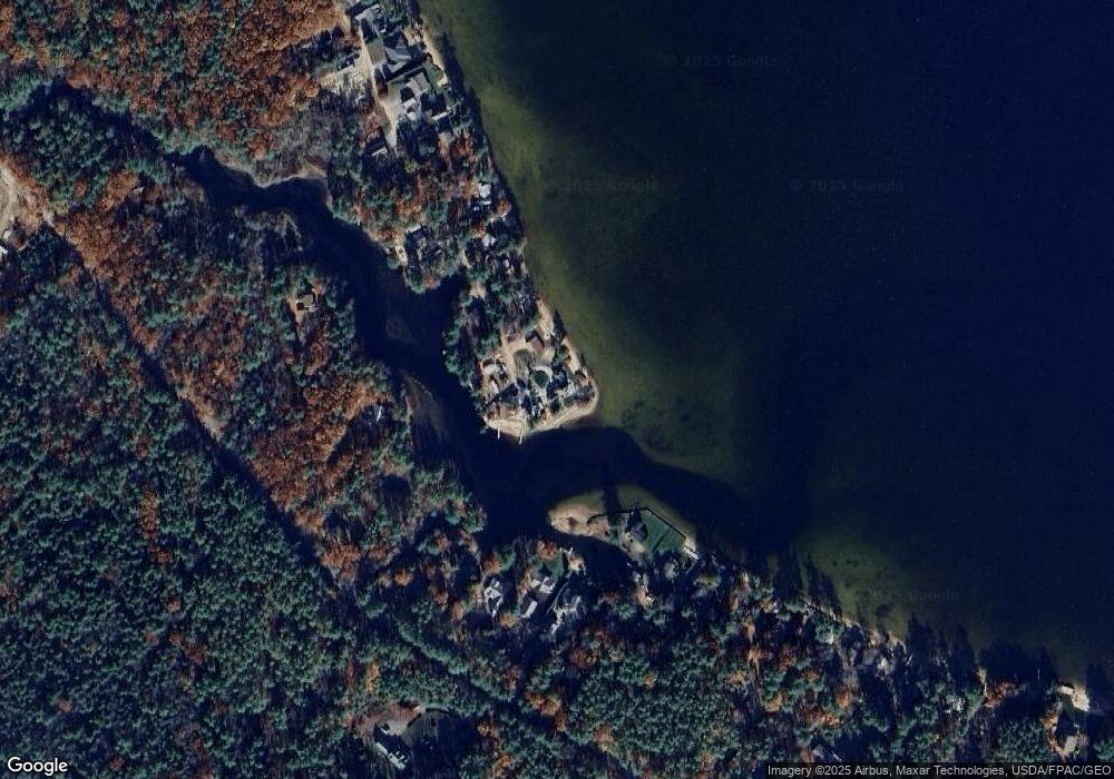
Map
Nearby Homes
- 790 Canal Rd
- 1108 Witchtrot Rd
- 204 Wansor Rd
- 305 Round Pond Rd
- 84 School St
- 2103 Wakefield Rd
- 284 Abbott Rd
- Lot #021 Abbott Rd
- 131 Meadow St
- 26 Hilltop Dr
- 163 Buzzell Rd
- 915 Lovell Lake Rd
- 887 Lovell Lake Rd
- 97 Daniel Dr
- 23 Mountain View Terrace
- 17 Hayes Ln
- 784 Lovell Lake Rd
- 13 Mountain View Dr
- 419 Lovell Lake Rd
- 1690 Province Lake Rd
- 233 Doc Morrison Rd
- 244 Doc Morrison Rd
- 215 Doc Morrison Rd
- 214 Doc Morrison Rd
- 0 Doc Morrison Rd Unit Map 152 Lot 12
- 213 Doc Morrison Rd
- 199 Doc Morrison Rd
- 653 Canal Rd
- 194 Doc Morrison Rd
- 193 Doc Morrison Rd
- 609 Canal Rd
- 655 Canal Rd
- 573 Canal Rd
- 641 Canal Rd
- 621 Canal Rd
- 631 Canal Rd
- 683 Canal Rd
- 601 Canal Rd
- Lot 12 Doc Morrison Rd
- 685 Canal Rd