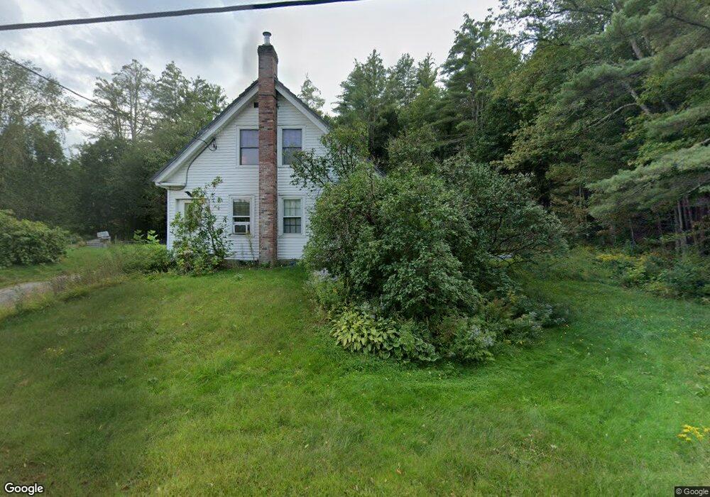
243 Groton Rd Hebron, NH 03241
Estimated Value: $416,000 - $598,000
3
Beds
2
Baths
2,300
Sq Ft
$214/Sq Ft
Est. Value
About This Home
This home is located at 243 Groton Rd, Hebron, NH 03241 and is currently estimated at $492,388, approximately $214 per square foot. 243 Groton Rd is a home located in Grafton County with nearby schools including Bridgewater-Hebron Village School.
Ownership History
Date
Name
Owned For
Owner Type
Purchase Details
Closed on
May 21, 2007
Sold by
Albamont Ft
Bought by
Thatcher Anne M
Current Estimated Value
Home Financials for this Owner
Home Financials are based on the most recent Mortgage that was taken out on this home.
Original Mortgage
$273,000
Interest Rate
6.18%
Mortgage Type
Purchase Money Mortgage
Create a Home Valuation Report for This Property
The Home Valuation Report is an in-depth analysis detailing your home's value as well as a comparison with similar homes in the area
Home Values in the Area
Average Home Value in this Area
Purchase History
| Date | Buyer | Sale Price | Title Company |
|---|---|---|---|
| Thatcher Anne M | $273,000 | -- |
Source: Public Records
Mortgage History
| Date | Status | Borrower | Loan Amount |
|---|---|---|---|
| Open | Thatcher Anne M | $246,283 | |
| Closed | Thatcher Anne M | $273,000 |
Source: Public Records
Tax History
| Year | Tax Paid | Tax Assessment Tax Assessment Total Assessment is a certain percentage of the fair market value that is determined by local assessors to be the total taxable value of land and additions on the property. | Land | Improvement |
|---|---|---|---|---|
| 2025 | $2,578 | $284,500 | $93,800 | $190,700 |
| 2024 | $1,989 | $284,500 | $93,800 | $190,700 |
| 2023 | $1,817 | $284,800 | $93,800 | $191,000 |
| 2022 | $1,945 | $284,800 | $93,800 | $191,000 |
| 2021 | $1,857 | $284,800 | $93,800 | $191,000 |
| 2020 | $2,065 | $215,100 | $74,700 | $140,400 |
| 2019 | $2,084 | $215,100 | $74,700 | $140,400 |
| 2018 | $1,798 | $215,100 | $74,700 | $140,400 |
| 2017 | $2,211 | $215,100 | $74,700 | $140,400 |
| 2016 | $1,790 | $215,100 | $74,700 | $140,400 |
| 2015 | $1,835 | $230,500 | $78,900 | $151,600 |
| 2014 | $1,885 | $230,500 | $78,900 | $151,600 |
| 2013 | $1,856 | $230,500 | $78,900 | $151,600 |
Source: Public Records
Map
Nearby Homes
- lot #7 Country Ln
- 8 Country Ln
- 21 Dodge Rd
- 00 Ledgewood Cir Unit 7
- 431 George Rd
- 715 N Groton Rd
- 341 Perkins Hill Rd
- 20 Brock Ln
- 33 Winterberry Ln
- 76 Davis Rd Unit M-6
- 21 Village West Dr Unit 14
- 154 Bell Rd
- 862 Mayhew Turnpike Unit 16
- 862 Mayhew Turnpike Unit 13
- 114 Ledgewood Terrace
- 80 Patten Rd
- 213-023-3 Yeaton Rd
- 213-023-1 Yeaton Rd
- 213-023-2 Yeaton Rd
- 208 New Hebron Rd
Your Personal Tour Guide
Ask me questions while you tour the home.