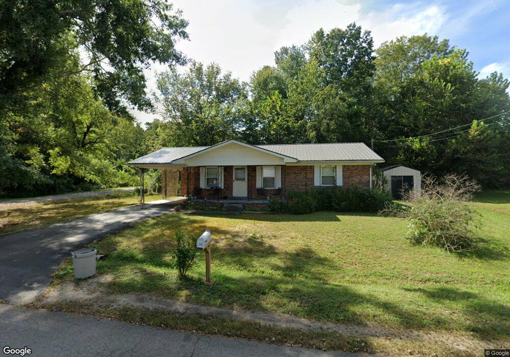
243 Meadow Brook Dr Linden, TN 37096
Estimated Value: $112,000 - $163,000
--
Bed
1
Bath
1,140
Sq Ft
$114/Sq Ft
Est. Value
About This Home
This home is located at 243 Meadow Brook Dr, Linden, TN 37096 and is currently estimated at $130,377, approximately $114 per square foot. 243 Meadow Brook Dr is a home located in Perry County.
Ownership History
Date
Name
Owned For
Owner Type
Purchase Details
Closed on
Sep 11, 2020
Sold by
Duncan Michael and Duncan Vaughn
Bought by
Graves Jessica
Current Estimated Value
Purchase Details
Closed on
Jan 14, 2005
Sold by
Not Provided
Bought by
Murdock Beverly
Purchase Details
Closed on
Jul 25, 1994
Bought by
Murdock Beverly
Purchase Details
Closed on
Oct 7, 1993
Bought by
Us Of America
Purchase Details
Closed on
Dec 7, 1989
Bought by
Tyler Anita S
Purchase Details
Closed on
Jun 19, 1979
Bought by
Dunkle Ronald
Create a Home Valuation Report for This Property
The Home Valuation Report is an in-depth analysis detailing your home's value as well as a comparison with similar homes in the area
Home Values in the Area
Average Home Value in this Area
Purchase History
| Date | Buyer | Sale Price | Title Company |
|---|---|---|---|
| Graves Jessica | $60,000 | None Available | |
| Murdock Beverly | -- | -- | |
| Murdock Beverly | -- | -- | |
| Us Of America | $35,000 | -- | |
| Tyler Anita S | $36,500 | -- | |
| Dunkle Ronald | -- | -- |
Source: Public Records
Tax History Compared to Growth
Tax History
| Year | Tax Paid | Tax Assessment Tax Assessment Total Assessment is a certain percentage of the fair market value that is determined by local assessors to be the total taxable value of land and additions on the property. | Land | Improvement |
|---|---|---|---|---|
| 2025 | $426 | $15,225 | $0 | $0 |
| 2024 | $426 | $15,225 | $1,000 | $14,225 |
| 2023 | $350 | $15,225 | $1,000 | $14,225 |
| 2022 | $427 | $15,225 | $1,000 | $14,225 |
| 2021 | $427 | $15,225 | $1,000 | $14,225 |
| 2020 | $350 | $15,225 | $1,000 | $14,225 |
| 2019 | $498 | $16,675 | $1,000 | $15,675 |
| 2018 | $498 | $16,675 | $1,000 | $15,675 |
| 2017 | $493 | $16,675 | $1,000 | $15,675 |
| 2016 | $493 | $16,675 | $1,000 | $15,675 |
| 2015 | $484 | $16,675 | $1,000 | $15,675 |
| 2014 | $484 | $16,675 | $1,000 | $15,675 |
| 2013 | $493 | $16,972 | $0 | $0 |
Source: Public Records
Map
Nearby Homes
- 122 Shelton St
- 218 Cedar Ave
- 141 Maple St
- 245 S Mill St
- 0 Church St
- 0 Treadwell Prong Unit RTC2707562
- 628 Starlight Dr
- 8884 U S Highway 412
- 130 Elm Ln
- 2017 Airport Ridge Rd
- 0 U S Highway 412
- 107 Possum Trot Ln
- Lot 5 Campers Ln
- Lot 7 Campers Ln
- Lot 9 Campers Ln
- Lot 15 Campers Ln
- Lot 11 Campers Ln
- Lot 4 Campers Ln
- Lot 8 Campers Ln
- Lot 10 Campers Ln
- 239 Meadow Brook Dr
- 246 Meadow Brook Dr
- 240 Meadow Brook Dr
- 214 Shelton St
- 235 Meadow Brook Dr
- 210 Shelton St
- 238 Meadow Brook Dr
- 242 Graham St
- 206 Shelton St
- 231 Meadow Brook Dr
- 236 Meadow Brook Dr
- 247 Brooklyn Ave
- 204 Shelton St
- 238 Graham St
- 243 Brooklyn Ave
- 236 Graham St
- 200 Shelton St
- 227 Meadow Brook Dr
- 230 Meadow Brook Dr
- 239 Brooklyn Ave