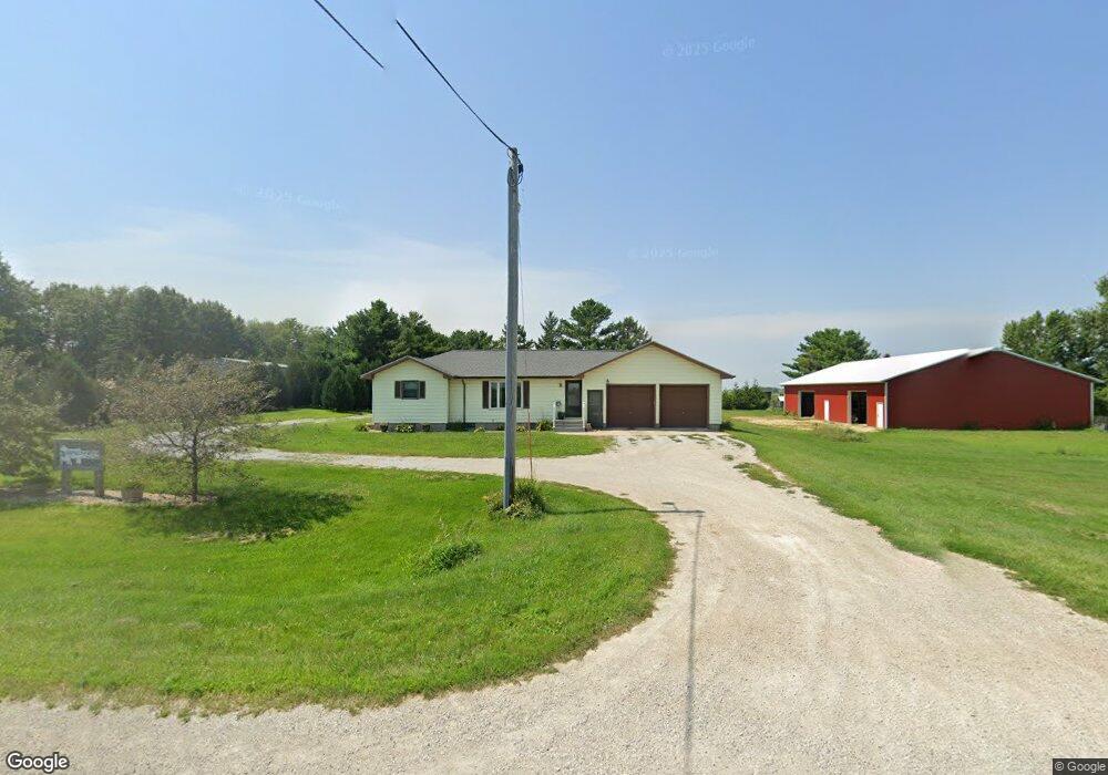
243 N Canfield Rd Waterloo, IA 50703
Estimated Value: $261,000 - $330,000
2
Beds
2
Baths
1,640
Sq Ft
$180/Sq Ft
Est. Value
About This Home
This home is located at 243 N Canfield Rd, Waterloo, IA 50703 and is currently estimated at $294,574, approximately $179 per square foot. 243 N Canfield Rd is a home located in Black Hawk County with nearby schools including Dunkerton Elementary School and Dunkerton High School.
Ownership History
Date
Name
Owned For
Owner Type
Purchase Details
Closed on
Jun 16, 2011
Sold by
Charley Kent R and Charley Carol V
Bought by
Brennan Ryan D and Brennan Danielle L
Current Estimated Value
Home Financials for this Owner
Home Financials are based on the most recent Mortgage that was taken out on this home.
Original Mortgage
$165,600
Outstanding Balance
$10,048
Interest Rate
4.63%
Mortgage Type
New Conventional
Estimated Equity
$284,526
Create a Home Valuation Report for This Property
The Home Valuation Report is an in-depth analysis detailing your home's value as well as a comparison with similar homes in the area
Purchase History
| Date | Buyer | Sale Price | Title Company |
|---|---|---|---|
| Brennan Ryan D | $206,750 | None Available |
Source: Public Records
Mortgage History
| Date | Status | Borrower | Loan Amount |
|---|---|---|---|
| Open | Brennan Ryan D | $165,600 |
Source: Public Records
Tax History
| Year | Tax Paid | Tax Assessment Tax Assessment Total Assessment is a certain percentage of the fair market value that is determined by local assessors to be the total taxable value of land and additions on the property. | Land | Improvement |
|---|---|---|---|---|
| 2025 | $2,508 | $213,980 | $28,180 | $185,800 |
| 2024 | $2,508 | $193,270 | $21,980 | $171,290 |
| 2023 | $2,046 | $193,270 | $21,980 | $171,290 |
| 2022 | $2,004 | $134,990 | $17,940 | $117,050 |
| 2021 | $2,074 | $136,410 | $19,360 | $117,050 |
| 2020 | $2,040 | $135,270 | $18,640 | $116,630 |
| 2019 | $2,040 | $135,270 | $18,640 | $116,630 |
| 2018 | $1,922 | $138,070 | $26,990 | $111,080 |
| 2017 | $1,944 | $138,070 | $26,990 | $111,080 |
| 2016 | $1,842 | $141,830 | $30,540 | $111,290 |
| 2015 | $1,842 | $141,830 | $30,540 | $111,290 |
| 2014 | $1,898 | $142,280 | $30,730 | $111,550 |
Source: Public Records
Map
Nearby Homes
- 129 N Canfield Rd
- 1827 N Pilot Grove Rd
- 0 Newell St Unit NBR20241901
- 6418 Independence Ave Unit 6440
- Lot 3 Ann St
- 5955 Osage Rd
- 1237 N Black Hawk Buchanan Ave
- Lot 2 Jon Rd
- 807 Janet Dr Dr Unit D
- 619 Sal Ave
- 245 Bordner Dr
- 301 W Sycamore St
- 524 Christopher Cir
- 0 Dubuque Rd Unit NBR20260174
- 1545 Dalton St
- 1565 Dalton St
- 1555 Dalton St
- 1615 Dalton St
- 1089 210th St
- 945 2nd St
- 141 N Canfield Rd
- 33 N Canfield Rd
- 345 N Canfield Rd
- 441 N Canfield Rd
- 8901 Independence Ave
- 8819 Independence Ave
- 511 N Canfield Rd
- 8745 Independence Ave
- 519 N Canfield Rd
- 9124 Independence Ave
- 705 N Canfield Rd
- 8734 Independence Ave
- 00 Canfield Rd
- 0 Canfield Rd
- 9623 Independence Ave
- 9635 Independence Ave
- 9210 Newell St
- 8115 Independence Ave
- 1202 N Canfield Rd
- 8010 Independence Ave
Your Personal Tour Guide
Ask me questions while you tour the home.