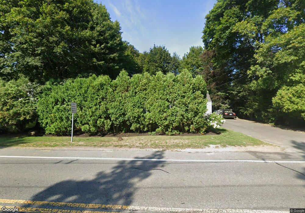
243 S Main St Andover, MA 01810
Southern Andover NeighborhoodEstimated Value: $761,000 - $1,053,000
3
Beds
2
Baths
1,953
Sq Ft
$443/Sq Ft
Est. Value
About This Home
This home is located at 243 S Main St, Andover, MA 01810 and is currently estimated at $865,354, approximately $443 per square foot. 243 S Main St is a home located in Essex County with nearby schools including South Elementary School, Doherty Middle School, and Andover High School.
Ownership History
Date
Name
Owned For
Owner Type
Purchase Details
Closed on
Apr 1, 2004
Sold by
Whirty Robert F and Whirty Maryanne
Bought by
Whirty Robert
Current Estimated Value
Home Financials for this Owner
Home Financials are based on the most recent Mortgage that was taken out on this home.
Original Mortgage
$110,000
Outstanding Balance
$50,620
Interest Rate
5.56%
Mortgage Type
Purchase Money Mortgage
Estimated Equity
$814,734
Purchase Details
Closed on
Jun 1, 1998
Sold by
Wackowski Ronald
Bought by
Whirty Robrt F
Create a Home Valuation Report for This Property
The Home Valuation Report is an in-depth analysis detailing your home's value as well as a comparison with similar homes in the area
Home Values in the Area
Average Home Value in this Area
Purchase History
| Date | Buyer | Sale Price | Title Company |
|---|---|---|---|
| Whirty Robert | $310,000 | -- | |
| Whirty Robert | $310,000 | -- | |
| Whirty Robrt F | $261,200 | -- | |
| Whirty Robrt F | $261,200 | -- | |
| Whirty Robrt F | $261,200 | -- |
Source: Public Records
Mortgage History
| Date | Status | Borrower | Loan Amount |
|---|---|---|---|
| Open | Whirty Robert | $110,000 | |
| Closed | Whirty Robrt F | $110,000 |
Source: Public Records
Tax History
| Year | Tax Paid | Tax Assessment Tax Assessment Total Assessment is a certain percentage of the fair market value that is determined by local assessors to be the total taxable value of land and additions on the property. | Land | Improvement |
|---|---|---|---|---|
| 2024 | $8,529 | $662,200 | $346,900 | $315,300 |
| 2023 | $8,292 | $607,000 | $321,100 | $285,900 |
| 2022 | $7,770 | $532,200 | $272,000 | $260,200 |
| 2021 | $7,432 | $486,100 | $247,300 | $238,800 |
| 2020 | $7,127 | $474,800 | $241,300 | $233,500 |
| 2019 | $7,050 | $461,700 | $234,300 | $227,400 |
| 2018 | $6,722 | $429,800 | $220,900 | $208,900 |
| 2017 | $6,430 | $423,600 | $216,500 | $207,100 |
| 2016 | $6,278 | $423,600 | $216,500 | $207,100 |
| 2015 | $6,037 | $403,300 | $208,200 | $195,100 |
Source: Public Records
Map
Nearby Homes
Your Personal Tour Guide
Ask me questions while you tour the home.