Estimated Value: $715,000 - $1,061,282
4
Beds
4
Baths
2,860
Sq Ft
$323/Sq Ft
Est. Value
About This Home
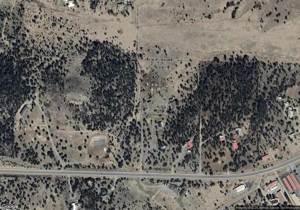
This home is located at 243 State Highway 220, Alto, NM 88312 and is currently estimated at $922,427, approximately $322 per square foot. 243 State Highway 220 is a home located in Lincoln County with nearby schools including Capitan Elementary School, Capitan Middle School, and Capitan High School.
Ownership History
Date
Name
Owned For
Owner Type
Purchase Details
Closed on
Mar 17, 2025
Sold by
Rogers Eugene M and Rogers Wendy L
Bought by
Rogers Eugene M and Rogers Wendy L
Current Estimated Value
Purchase Details
Closed on
Sep 15, 2023
Sold by
Mattingly Phillip L and Mattingly Tammy L
Bought by
Rogers Eugene M and Rogers Wendy L
Purchase Details
Closed on
Sep 9, 2005
Sold by
Mann Donald L and Wamsley Suanne A
Bought by
Mattingly Phillip L and Mattingly Tammy L
Create a Home Valuation Report for This Property
The Home Valuation Report is an in-depth analysis detailing your home's value as well as a comparison with similar homes in the area
Home Values in the Area
Average Home Value in this Area
Purchase History
| Date | Buyer | Sale Price | Title Company |
|---|---|---|---|
| Rogers Eugene M | -- | None Listed On Document | |
| Rogers Eugene M | -- | None Listed On Document | |
| Mattingly Phillip L | -- | None Available |
Source: Public Records
Tax History Compared to Growth
Tax History
| Year | Tax Paid | Tax Assessment Tax Assessment Total Assessment is a certain percentage of the fair market value that is determined by local assessors to be the total taxable value of land and additions on the property. | Land | Improvement |
|---|---|---|---|---|
| 2025 | $4,270 | $246,847 | $28,280 | $218,567 |
| 2024 | $4,270 | $246,847 | $28,280 | $218,567 |
| 2023 | $4,270 | $150,263 | $28,280 | $121,983 |
| 2022 | $2,334 | $147,101 | $28,155 | $118,946 |
| 2021 | $2,245 | $120,045 | $4,060 | $115,985 |
| 2020 | $2,501 | $117,065 | $3,942 | $113,123 |
| 2019 | $2,465 | $115,117 | $3,865 | $111,252 |
| 2018 | $2,407 | $112,279 | $3,752 | $108,527 |
| 2017 | $2,280 | $109,524 | $3,643 | $105,881 |
| 2015 | $2,794 | $156,140 | $50,462 | $105,678 |
| 2014 | $2,713 | $153,465 | $50,356 | $103,109 |
Source: Public Records
Map
Nearby Homes
- T1, 2 & 4 New Mexico 220
- 174 Placitas Dr
- 103 Woodpine Ct Unit 2
- 375 New Mexico 220
- 112 Woodpine Ct
- 213 Fawn Dr
- 217 Deer Park Dr
- 202 Deer Park Dr
- 144 San Mateo Dr
- 102 Quail Run Ln
- Lot 91 Deer Park Dr Unit 3
- 243 Deer Park Dr
- 111 Country Ln
- 117 Paso Monte Loop
- 239 Sonterra Dr
- Tract 2 Sw4se4
- 102 Doe Ct
- Lot 88 Stable Rd Unit 3
- Lot 10A Stable Rd
- T15B Partridge Ct
- 243 State Highway 220
- L35 Sawmill Canyon Rd
- 245 Nm 220 Airport Rd St Hwy
- 245 Nm 220 Airport Rd St Hwy
- 245 State Highway 220
- 255 Highway 220
- 255 Highway 220
- 245 Highway 220
- 245 Highway 220
- 263 State Highway 220
- 244 Nm 220 Airport Rd St Hwy
- 244 Nm 220 Airport Rd St Hwy
- 244 New Mexico 220
- 464 Nm 220 Airport Rd St Hwy
- 281 Nm 220 Airport Rd St Hwy
- 273 State Highway 220
- 491 Fort Stanton Rd
- 198 Placitas Dr
- 238 State Highway 220 Rd
- 281 State Highway 220
