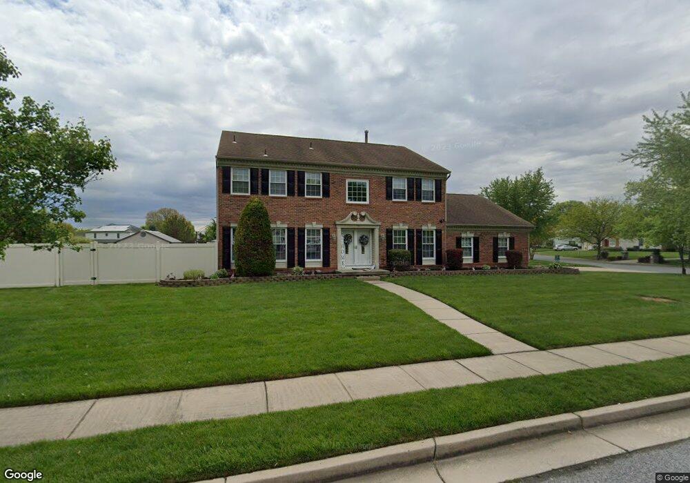
243 Tavistock Ln Sewell, NJ 08080
Deptford Township NeighborhoodEstimated Value: $594,000 - $671,000
--
Bed
--
Bath
3,092
Sq Ft
$207/Sq Ft
Est. Value
About This Home
This home is located at 243 Tavistock Ln, Sewell, NJ 08080 and is currently estimated at $640,382, approximately $207 per square foot. 243 Tavistock Ln is a home located in Gloucester County with nearby schools including Deptford Township High School.
Ownership History
Date
Name
Owned For
Owner Type
Purchase Details
Closed on
Sep 15, 2006
Sold by
Brown Scott
Bought by
Iacovone Robert and Iacovone Diane
Current Estimated Value
Home Financials for this Owner
Home Financials are based on the most recent Mortgage that was taken out on this home.
Original Mortgage
$299,000
Outstanding Balance
$178,089
Interest Rate
6.52%
Estimated Equity
$462,293
Create a Home Valuation Report for This Property
The Home Valuation Report is an in-depth analysis detailing your home's value as well as a comparison with similar homes in the area
Home Values in the Area
Average Home Value in this Area
Purchase History
| Date | Buyer | Sale Price | Title Company |
|---|---|---|---|
| Iacovone Robert | $399,000 | -- |
Source: Public Records
Mortgage History
| Date | Status | Borrower | Loan Amount |
|---|---|---|---|
| Open | Iacovone Robert | $299,000 |
Source: Public Records
Tax History Compared to Growth
Tax History
| Year | Tax Paid | Tax Assessment Tax Assessment Total Assessment is a certain percentage of the fair market value that is determined by local assessors to be the total taxable value of land and additions on the property. | Land | Improvement |
|---|---|---|---|---|
| 2025 | $12,268 | $351,900 | $68,500 | $283,400 |
| 2024 | $11,874 | $342,200 | $68,500 | $273,700 |
| 2023 | $11,874 | $342,200 | $68,500 | $273,700 |
| 2022 | $11,789 | $342,200 | $68,500 | $273,700 |
| 2021 | $11,621 | $342,200 | $68,500 | $273,700 |
| 2020 | $11,488 | $342,200 | $68,500 | $273,700 |
| 2019 | $11,269 | $342,200 | $68,500 | $273,700 |
| 2018 | $11,015 | $342,200 | $68,500 | $273,700 |
| 2017 | $10,721 | $342,200 | $68,500 | $273,700 |
| 2016 | $10,502 | $342,200 | $68,500 | $273,700 |
| 2015 | $10,177 | $342,200 | $68,500 | $273,700 |
| 2014 | $9,914 | $342,200 | $68,500 | $273,700 |
Source: Public Records
Map
Nearby Homes
- 242 Tall Pines Dr
- 221 Woodcreek Rd
- 126 Blackwood Barnsboro Rd
- 0 Glassboro Rd
- 54 Meadow Ct
- 56 Thackery Ct
- 640 Mantua Blvd
- 91 Arbour Ct
- 0 Mantua Blvd
- 108 S Clinton Ave
- 140 Cumberland Ave
- 850 Mantua Blvd
- 160 Cumberland Ave
- 101 Warren Ave
- 3 E Mantua Ave
- 202 Hunterdon Ave
- 100 Fairmount St
- 795 Fox Run Rd
- 106 Bock Ave
- 180 Warren Ave
- 222 Willowbrook Dr
- 241 Tavistock Ln
- 220 Willowbrook Dr
- 233 Tall Pines Dr
- 232 Tall Pines Dr
- 218 Willowbrook Dr
- 238 Tavistock Ln
- 234 Tall Pines Dr
- 208 Heather Glen Ct
- 239 Tavistock Ln
- 230 Tall Pines Dr
- 235 Tall Pines Dr
- 218 Ramblewood Dr
- 237 Tavistock Ln
- 236 Tavistock Ln
- 236 Tall Pines Dr
- 228 Tall Pines Dr
- 210 Heather Glen Ct
- 229 Pine Valley Ln
- 231 Pine Valley Ln