2430 Township Road 505 Loudonville, OH 44842
Estimated Value: $426,000 - $556,000
4
Beds
3
Baths
2,394
Sq Ft
$205/Sq Ft
Est. Value
About This Home
This home is located at 2430 Township Road 505, Loudonville, OH 44842 and is currently estimated at $491,867, approximately $205 per square foot. 2430 Township Road 505 is a home located in Ashland County with nearby schools including McMullen Elementary School, Budd Elementary School, and Loudonville High School.
Ownership History
Date
Name
Owned For
Owner Type
Purchase Details
Closed on
Nov 22, 2016
Sold by
Tom Ricketts and Tom Tena
Bought by
Miller Reuben J and Miller Anna R
Current Estimated Value
Purchase Details
Closed on
May 26, 2009
Sold by
Dyck Waldo and Dyck Janalie
Bought by
Ricketts Tom and Ricketts Tena
Purchase Details
Closed on
Jul 2, 2002
Sold by
Miller Neal A
Bought by
Dyck Waldo
Purchase Details
Closed on
Apr 10, 1991
Bought by
Miller Neal A
Create a Home Valuation Report for This Property
The Home Valuation Report is an in-depth analysis detailing your home's value as well as a comparison with similar homes in the area
Home Values in the Area
Average Home Value in this Area
Purchase History
| Date | Buyer | Sale Price | Title Company |
|---|---|---|---|
| Miller Reuben J | $300,000 | Barrister Ashland Title | |
| Ricketts Tom | $256,500 | -- | |
| Dyck Waldo | $210,000 | -- | |
| Miller Neal A | $29,000 | -- |
Source: Public Records
Tax History Compared to Growth
Tax History
| Year | Tax Paid | Tax Assessment Tax Assessment Total Assessment is a certain percentage of the fair market value that is determined by local assessors to be the total taxable value of land and additions on the property. | Land | Improvement |
|---|---|---|---|---|
| 2024 | $2,473 | $150,990 | $48,490 | $102,500 |
| 2023 | $4,495 | $150,990 | $48,490 | $102,500 |
| 2022 | $3,478 | $104,130 | $33,440 | $70,690 |
| 2021 | $3,447 | $104,130 | $33,440 | $70,690 |
| 2020 | $3,243 | $104,130 | $33,440 | $70,690 |
| 2019 | $3,426 | $93,030 | $21,580 | $71,450 |
| 2018 | $3,448 | $93,030 | $21,580 | $71,450 |
| 2017 | $2,043 | $71,490 | $21,580 | $49,910 |
| 2016 | $2,043 | $62,170 | $18,770 | $43,400 |
| 2015 | $2,029 | $62,170 | $18,770 | $43,400 |
| 2013 | $1,857 | $62,530 | $17,760 | $44,770 |
Source: Public Records
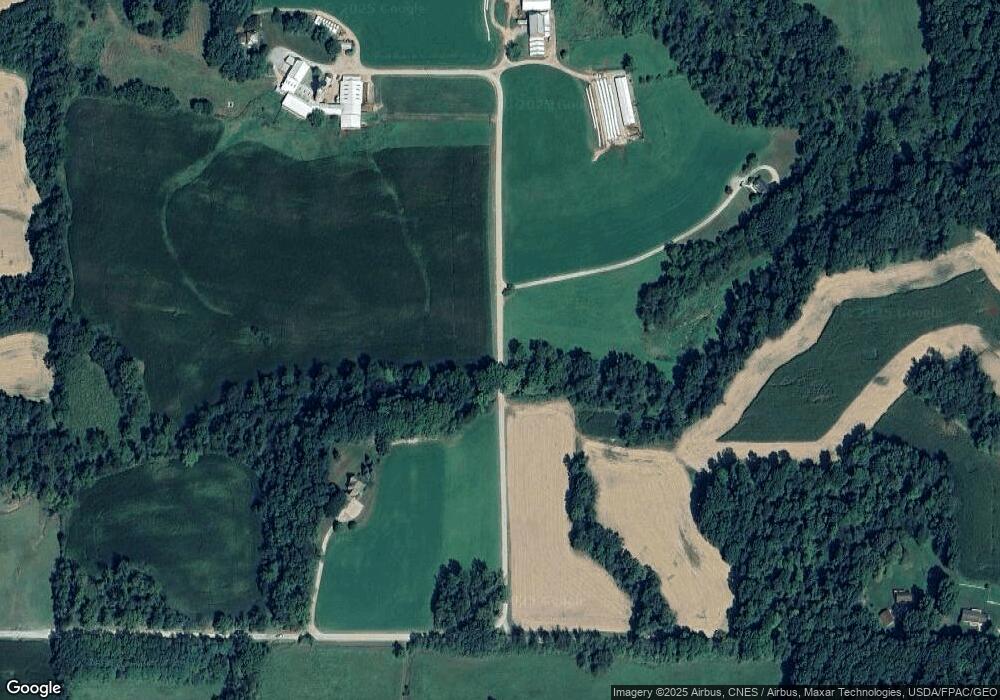
Map
Nearby Homes
- 560 Township Road 2402
- 609 Ohio 95
- 0 Ashland County Road 2175
- 0 Ashland County Road 2175
- 2818 Township Road 2812
- 1406 Pearl Dr
- 2057 State Route 89
- 0 Township Road 925
- 500 Stone Meadow Cir
- 723 Pearl Dr
- 524 N Union St
- 518 Snyder Dr
- 333 E Campbell St
- 526 E Campbell St
- 316 E Campbell St
- 968 Township Road 2506
- 513 N Mount Vernon Ave
- 112 Ohio 95
- 150 E Main St
- 2430 Twp Rd 505
- 514 Township Road 2474
- 515 Township Road 2474
- 0 Township Road 2404
- 0 Twp 2474 Unit 85253
- 490 Township Road 2402
- 538 Township Road 2474
- 542 Township Road 2474
- 505 Township Road 2402
- 2454 Township Road 457
- 2436 Township Road 457
- 503 Township Road 2474
- 561 Township Road 2474
- 457 Twp Rd
- 549 Ohio 95
- 559 State Route 95
- 0 Township Road 2474
- 2395 Township Road 457
- 440 Township Road 2402
- 520 State Route 95