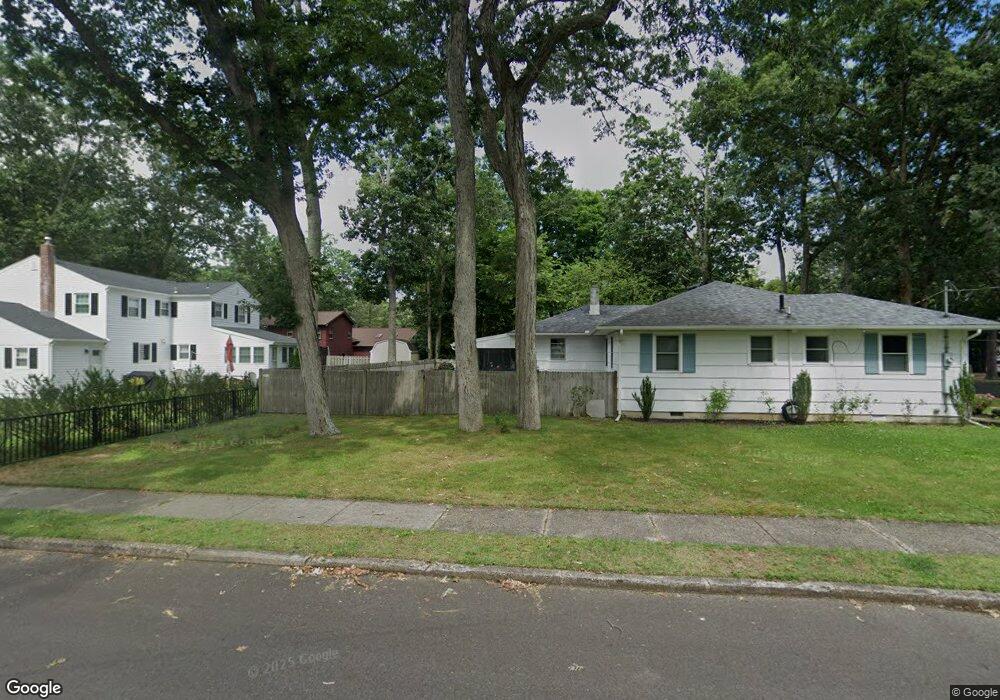
2431 Shepherd Circle Cir W Northfield, NJ 08225
Estimated Value: $413,401
4
Beds
3
Baths
2,258
Sq Ft
$183/Sq Ft
Est. Value
About This Home
This home is located at 2431 Shepherd Circle Cir W, Northfield, NJ 08225 and is currently estimated at $413,401, approximately $183 per square foot. 2431 Shepherd Circle Cir W is a home located in Atlantic County with nearby schools including Northfield Community Elementary School, Northfield Community Middle School, and Mainland Regional High School.
Ownership History
Date
Name
Owned For
Owner Type
Purchase Details
Closed on
Dec 11, 2017
Sold by
Bojyd Rita F
Bought by
Manley Thomas
Current Estimated Value
Home Financials for this Owner
Home Financials are based on the most recent Mortgage that was taken out on this home.
Original Mortgage
$220,000
Outstanding Balance
$185,029
Interest Rate
3.9%
Mortgage Type
VA
Estimated Equity
$228,372
Purchase Details
Closed on
Jul 8, 1969
Bought by
Boyd John W and Boyd Rita F
Create a Home Valuation Report for This Property
The Home Valuation Report is an in-depth analysis detailing your home's value as well as a comparison with similar homes in the area
Home Values in the Area
Average Home Value in this Area
Purchase History
| Date | Buyer | Sale Price | Title Company |
|---|---|---|---|
| Manley Thomas | $220,000 | Atlantic Shore Title Llc | |
| Boyd John W | -- | -- |
Source: Public Records
Mortgage History
| Date | Status | Borrower | Loan Amount |
|---|---|---|---|
| Open | Manley Thomas | $220,000 |
Source: Public Records
Tax History Compared to Growth
Tax History
| Year | Tax Paid | Tax Assessment Tax Assessment Total Assessment is a certain percentage of the fair market value that is determined by local assessors to be the total taxable value of land and additions on the property. | Land | Improvement |
|---|---|---|---|---|
| 2025 | -- | $267,400 | $83,200 | $184,200 |
| 2024 | -- | $267,400 | $83,200 | $184,200 |
| 2023 | -- | $267,400 | $83,200 | $184,200 |
| 2022 | $0 | $267,400 | $83,200 | $184,200 |
| 2021 | $6,640 | $267,400 | $83,200 | $184,200 |
| 2020 | $0 | $267,400 | $83,200 | $184,200 |
| 2019 | $6,640 | $267,400 | $83,200 | $184,200 |
| 2018 | $6,640 | $267,400 | $83,200 | $184,200 |
| 2017 | $8,656 | $267,400 | $83,200 | $184,200 |
| 2016 | $8,311 | $267,400 | $83,200 | $184,200 |
| 2015 | $8,196 | $267,400 | $83,200 | $184,200 |
| 2014 | $7,749 | $267,400 | $83,200 | $184,200 |
Source: Public Records
Map
Nearby Homes
- 413 W Oakcrest Ave
- 608 Revere Ave
- 2 Jenny Lynn Dr
- 2024 Zion Rd
- 550 Central Ave Unit M3
- 550 Central Ave Unit B1
- 550 Central Ave Unit 4
- 550 Central Ave Unit G-16 Constitution Ct
- 550 Central Ave Unit E-14
- 550 Central Ave Unit I-7
- 550 G-16 Central Ave
- 14 Wexford Ln
- 1 Mill Ln
- 5 Mill Ln
- 622 Central Ave
- 12 Fischer Rd
- 2221 Burroughs Ave
- 2124 Merritt Dr
- 301 Wabash Ave
- 2510 Shore Rd
- 2431 Shepherd Cir W
- 2498 Herbert Dr
- 2429 Shepherd Cir
- 2500 Herbert Dr
- 2433 Shepherd Circle Cir W
- 2433 Shepherd Cir W
- 2499 Herbert Dr
- 2503 Herbert Dr
- 2427 Shepherd Cir
- 2496 Herbert Dr
- 2417 Shepherd Cir
- 2502 Herbert Dr
- 2505 Herbert Dr
- 2497 Herbert Dr
- 2435 Shepherd Cir W
- 2425 Shepherd Cir
- 513 Ridgewood Dr
- 515 Ridgewood Dr
- 511 Ridgewood Dr
- 517 Ridgewood Dr