2432 Memory Ridge Dr Raleigh, NC 27606
Crossroads NeighborhoodEstimated Value: $410,000 - $438,000
About This Home
This home is located at 2432 Memory Ridge Dr, Raleigh, NC 27606 and is currently estimated at $418,799, approximately $229 per square foot. 2432 Memory Ridge Dr is a home located in Wake County with nearby schools including Dillard Drive Magnet Elementary School, Dillard Drive Magnet Middle School, and Adventist Christian Academy of Raleigh.
Ownership History
Purchase Details
Home Financials for this Owner
Home Financials are based on the most recent Mortgage that was taken out on this home.Home Values in the Area
Average Home Value in this Area
Purchase History
We collect this data history from publicly available records. To have your information removed, we recommend requesting removal directly through your county’s website.
| Date | Buyer | Sale Price | Title Company |
|---|---|---|---|
| Hoover Rebecca | $192,000 | None Available |
Mortgage History
We collect this data history from publicly available records. To have your information removed, we recommend requesting removal directly through your county’s website.
| Date | Status | Borrower | Loan Amount |
|---|---|---|---|
| Open | Hoover Rebecca | $85,000 |
Tax History
| Year | Tax Paid | Tax Assessment Tax Assessment Total Assessment is a certain percentage of the fair market value that is determined by local assessors to be the total taxable value of land and additions on the property. | Land | Improvement |
|---|---|---|---|---|
| 2025 | -- | $430,483 | $100,000 | $330,483 |
| 2024 | $3,759 | $430,483 | $100,000 | $330,483 |
| 2023 | $3,263 | $297,552 | $57,000 | $240,552 |
| 2022 | $3,033 | $297,552 | $57,000 | $240,552 |
| 2021 | $2,915 | $297,552 | $57,000 | $240,552 |
| 2020 | $2,862 | $297,552 | $57,000 | $240,552 |
| 2019 | $2,659 | $227,729 | $42,000 | $185,729 |
| 2018 | $2,508 | $227,729 | $42,000 | $185,729 |
| 2017 | $2,389 | $227,729 | $42,000 | $185,729 |
| 2016 | $0 | $227,729 | $42,000 | $185,729 |
| 2015 | -- | $206,701 | $38,000 | $168,701 |
| 2014 | -- | $206,701 | $38,000 | $168,701 |
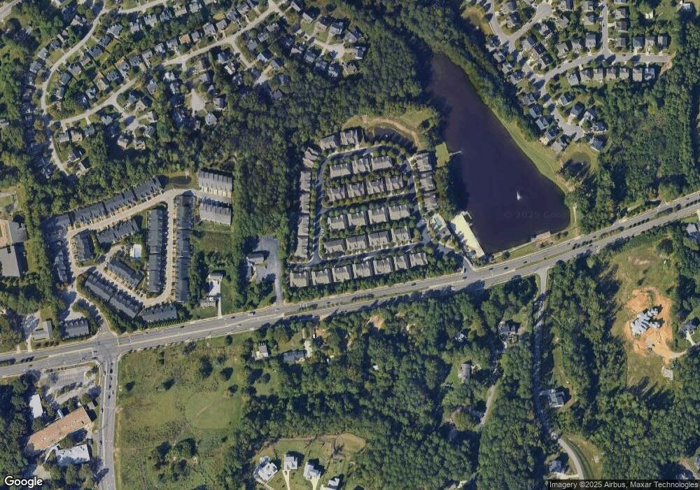
Map
- 2423 Memory Ridge Dr
- 2409 Memory Ridge Dr
- 2434 Swans Rest Way
- 2532 Asher View Ct
- 6305 Yates Mill Pond Rd
- 2309 Silver Lake Trail
- 5501 Southern Cross Ave
- 5616 Yates Garden Ln
- 5500 Batoul Ln
- 5502 Batoul Ln
- 5413 Olive Rd
- 5333 Olive Rd
- 1604 Yates Wheel Way
- 4019 Yellowfield Way
- 716 Grayhaven Place
- 708 Grayhaven Place
- 4009 Yellowfield Way
- 1712 Layhill Dr
- 1709 Layhill Dr
- 1704 Layhill Dr
- 2421 Memory Ridge Dr
- 2427 Memory Ridge Dr
- 2419 Memory Ridge Dr
- 2429 Memory Ridge Dr
- 2417 Memory Ridge Dr
- 2431 Memory Ridge Dr
- 2433 Memory Ridge Dr
- 2413 Memory Ridge Dr
- 2411 Memory Ridge Dr
- 2437 Memory Ridge Dr
- 2422 Memory Ridge Dr
- 2420 Memory Ridge Dr
- 2426 Memory Ridge Dr
- 2418 Memory Ridge Dr
- 2428 Memory Ridge Dr
- 2439 Memory Ridge Dr
- 2416 Memory Ridge Dr
- 2430 Memory Ridge Dr
- 2441 Memory Ridge Dr
- 2405 Memory Ridge Dr
Ask me questions while you tour the home.