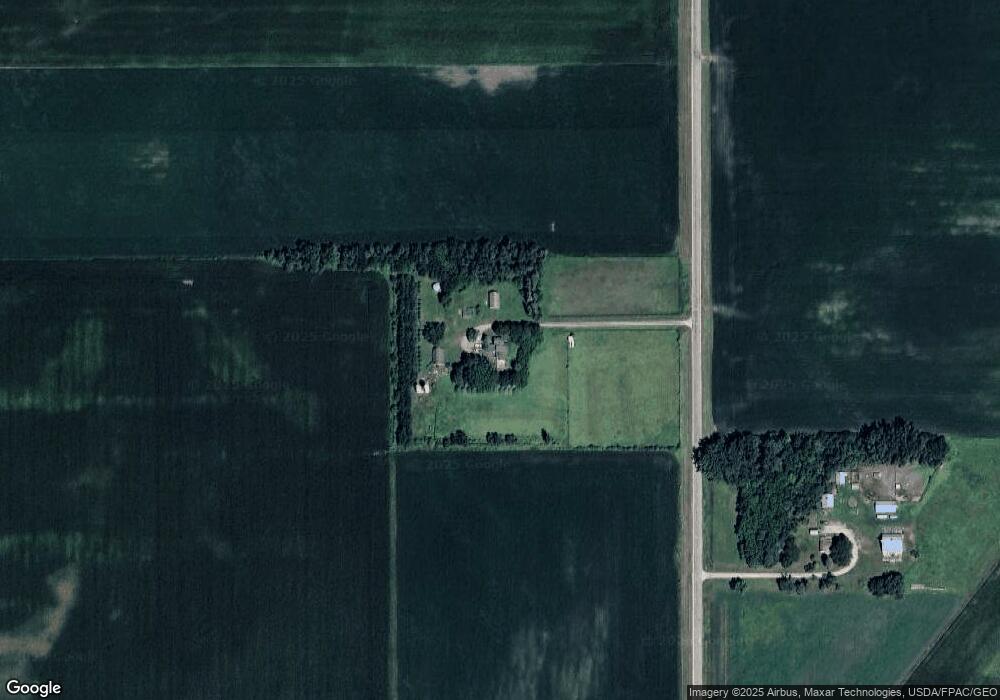
24327 477th Ave Dell Rapids, SD 57022
Estimated Value: $581,976 - $754,000
4
Beds
3
Baths
2,951
Sq Ft
$226/Sq Ft
Est. Value
About This Home
This home is located at 24327 477th Ave, Dell Rapids, SD 57022 and is currently estimated at $667,988, approximately $226 per square foot. 24327 477th Ave is a home located in Moody County with nearby schools including Dell Rapids Elementary School, Dell Rapids Middle School, and Dell Rapids High School.
Ownership History
Date
Name
Owned For
Owner Type
Purchase Details
Closed on
Sep 14, 2011
Sold by
Sterud Michael P and Sterud Susan L
Bought by
Gorman John W
Current Estimated Value
Home Financials for this Owner
Home Financials are based on the most recent Mortgage that was taken out on this home.
Original Mortgage
$215,200
Outstanding Balance
$145,981
Interest Rate
4.14%
Mortgage Type
Unknown
Estimated Equity
$522,007
Purchase Details
Closed on
Feb 15, 2005
Sold by
Dejongh Janelle L and Dejongh Daniel M
Bought by
Sterud Michael P and Sterud Susan L
Home Financials for this Owner
Home Financials are based on the most recent Mortgage that was taken out on this home.
Original Mortgage
$252,000
Interest Rate
5.71%
Mortgage Type
Purchase Money Mortgage
Create a Home Valuation Report for This Property
The Home Valuation Report is an in-depth analysis detailing your home's value as well as a comparison with similar homes in the area
Purchase History
| Date | Buyer | Sale Price | Title Company |
|---|---|---|---|
| Gorman John W | -- | -- | |
| Sterud Michael P | -- | -- |
Source: Public Records
Mortgage History
| Date | Status | Borrower | Loan Amount |
|---|---|---|---|
| Open | Gorman John W | $215,200 | |
| Previous Owner | Sterud Michael P | $252,000 |
Source: Public Records
Tax History
| Year | Tax Paid | Tax Assessment Tax Assessment Total Assessment is a certain percentage of the fair market value that is determined by local assessors to be the total taxable value of land and additions on the property. | Land | Improvement |
|---|---|---|---|---|
| 2025 | $6,382 | $533,390 | $183,850 | $349,540 |
| 2024 | $48 | $533,390 | $183,850 | $349,540 |
| 2023 | $4,742 | $411,761 | $163,850 | $247,911 |
| 2022 | $4,742 | $352,264 | $143,850 | $208,414 |
| 2021 | $4,456 | $351,601 | $143,850 | $207,751 |
| 2020 | $3,565 | $351,601 | $143,850 | $207,751 |
| 2019 | $3,531 | $293,100 | $0 | $293,100 |
| 2018 | $3,372 | $273,100 | $0 | $273,100 |
| 2017 | $3,493 | $273,100 | $0 | $273,100 |
| 2016 | $3,526 | $284,783 | $0 | $284,783 |
| 2015 | -- | $258,357 | $0 | $258,357 |
| 2014 | -- | $265,929 | $0 | $265,929 |
| 2013 | -- | $256,762 | $0 | $256,762 |
Source: Public Records
Map
Nearby Homes
- 904 E 11th St
- 1307 Clark Ave
- 0 State Ave
- 1606 Julie Ave Unit L22B2
- 1604 Julie Cir Unit L21B2
- 1602 Julie Cir Unit L20B2
- 1607 Julie Cir Unit L9B2
- 1600 Julie Cir Unit L19B2
- 1603 Julie Cir Unit L11B2
- 1504 Julie Cir Unit L17B2
- 1606 Neil Ave Unit L8B2
- 302 W 17th St
- 1601 Julie Cir Unit L12B2
- 1605 Julie Cir Unit L10B2
- 1604 Neil Ave Unit L7B2
- 1506 Julie Cir Unit L18B2
- 1602 Neil Ave Unit L6B2
- 1600 Neil Ave Unit L5B2
- 1502 Julie Cir Unit L16B2
- 1701 Neil Ave Unit L10B1
Your Personal Tour Guide
Ask me questions while you tour the home.