2433 122nd Ave NE Spicer, MN 56288
Estimated Value: $528,000 - $726,374
--
Bed
1
Bath
2,477
Sq Ft
$241/Sq Ft
Est. Value
About This Home
This home is located at 2433 122nd Ave NE, Spicer, MN 56288 and is currently estimated at $597,458, approximately $241 per square foot. 2433 122nd Ave NE is a home located in Kandiyohi County with nearby schools including Prairie Woods Elementary School, New London-Spicer Middle School, and New London-Spicer Senior High School.
Ownership History
Date
Name
Owned For
Owner Type
Purchase Details
Closed on
Sep 1, 2015
Sold by
Field Blaine and Field Judy
Bought by
Field Blaine and Field Judy
Current Estimated Value
Purchase Details
Closed on
Apr 8, 2005
Sold by
Madison Rick A and Madison Mary B
Bought by
Madison Rick A and Madison Mary B
Create a Home Valuation Report for This Property
The Home Valuation Report is an in-depth analysis detailing your home's value as well as a comparison with similar homes in the area
Home Values in the Area
Average Home Value in this Area
Purchase History
| Date | Buyer | Sale Price | Title Company |
|---|---|---|---|
| Field Blaine | -- | -- | |
| Madison Rick A | -- | None Available |
Source: Public Records
Tax History Compared to Growth
Tax History
| Year | Tax Paid | Tax Assessment Tax Assessment Total Assessment is a certain percentage of the fair market value that is determined by local assessors to be the total taxable value of land and additions on the property. | Land | Improvement |
|---|---|---|---|---|
| 2025 | $6,622 | $614,600 | $121,300 | $493,300 |
| 2024 | $5,622 | $625,700 | $118,300 | $507,400 |
| 2023 | $5,024 | $549,800 | $117,200 | $432,600 |
| 2022 | $5,116 | $506,700 | $117,200 | $389,500 |
| 2021 | $4,336 | $441,300 | $113,800 | $327,500 |
| 2020 | $4,282 | $409,000 | $113,500 | $295,500 |
| 2019 | $3,738 | $399,500 | $112,500 | $287,000 |
| 2018 | $3,638 | $346,500 | $112,500 | $234,000 |
| 2017 | $3,680 | $342,100 | $112,500 | $229,600 |
| 2016 | $3,562 | $3,356 | $0 | $0 |
| 2015 | -- | $0 | $0 | $0 |
| 2014 | -- | $0 | $0 | $0 |
Source: Public Records
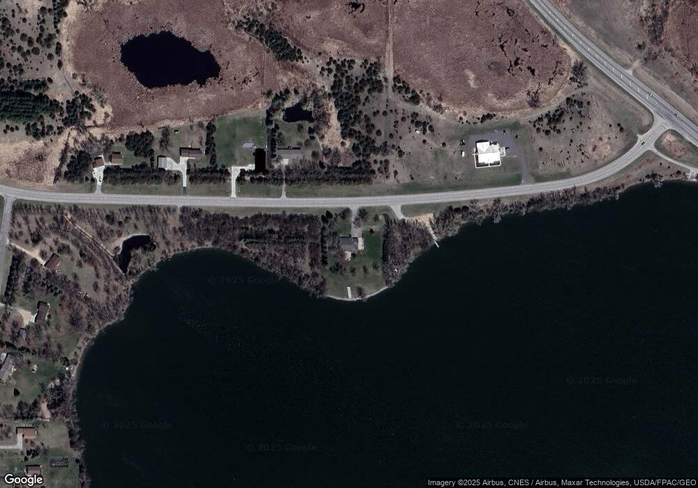
Map
Nearby Homes
- 10957 Highway 71 NE
- 4316 133rd Ave NE
- 311 131st Ave NE
- 13112 2nd St NE
- 4808 132nd Ave NE Unit 25
- 5078 132nd Ave NE
- 5288 132nd Ave NE Unit C7
- 5288 (R22) 53rd St NE
- 5288 (R24) 53rd St NE
- 5272 (R26) 53rd St NE
- 5288 (R19) 53rd St NE
- 13205 (R17) 53rd St NE
- 5288 (R23) 53rd St NE
- 4539 141st Ave NE
- 1245 137th Ave NW
- 6844 140th Ave NE
- 3091 77th Ave NE
- 621 Loretta Cir
- 7641 Long Lake Rd
- 403 Miller St
- - NE 122 Ave
- 2398 122nd Ave NE
- xx NE 21 St
- 2312 122nd Ave NE
- 2254 122nd Ave NE
- 2534 122nd Ave NE
- 2186 122nd Ave NE
- 12197 21st St NE
- 10073 W 1st St
- 12131 21st St NE
- Xxx 21st St NE
- 12071 21st St NE
- 11975 21st St NE
- 11941 21st St NE
- 11887 21st St NE
- L04 B02 Ne 21 St
- 0 NE 21 St Unit 4 Blk 2 3575828
- - NE 21st St
- ##### 21st St NE
- 0 21st St NE