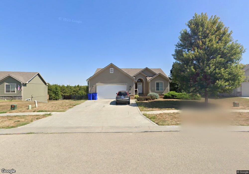
2433 Deer Trail Junction City, KS 66441
Estimated Value: $291,000 - $314,000
5
Beds
3
Baths
2,570
Sq Ft
$117/Sq Ft
Est. Value
About This Home
This home is located at 2433 Deer Trail, Junction City, KS 66441 and is currently estimated at $299,445, approximately $116 per square foot. 2433 Deer Trail is a home located in Geary County with nearby schools including Eisenhower Elementary School, Junction City Middle School, and Junction City Senior High School.
Ownership History
Date
Name
Owned For
Owner Type
Purchase Details
Closed on
May 23, 2025
Sold by
Irby Burl Leo and Irby April D
Bought by
Canfield Jonathan and Canfield Stephanie
Current Estimated Value
Home Financials for this Owner
Home Financials are based on the most recent Mortgage that was taken out on this home.
Original Mortgage
$288,930
Outstanding Balance
$287,928
Interest Rate
6.76%
Mortgage Type
VA
Estimated Equity
$11,517
Purchase Details
Closed on
Aug 24, 2012
Sold by
Bunting Eric A and Bunting Alicia M
Bought by
Irby Burl Leo
Home Financials for this Owner
Home Financials are based on the most recent Mortgage that was taken out on this home.
Original Mortgage
$220,958
Interest Rate
3.49%
Mortgage Type
VA
Create a Home Valuation Report for This Property
The Home Valuation Report is an in-depth analysis detailing your home's value as well as a comparison with similar homes in the area
Home Values in the Area
Average Home Value in this Area
Purchase History
| Date | Buyer | Sale Price | Title Company |
|---|---|---|---|
| Canfield Jonathan | -- | Junction City Abstract Title | |
| Canfield Jonathan | -- | Junction City Abstract Title | |
| Irby Burl Leo | -- | -- |
Source: Public Records
Mortgage History
| Date | Status | Borrower | Loan Amount |
|---|---|---|---|
| Open | Canfield Jonathan | $288,930 | |
| Closed | Canfield Jonathan | $288,930 | |
| Previous Owner | Irby Burl Leo | $220,958 |
Source: Public Records
Tax History
| Year | Tax Paid | Tax Assessment Tax Assessment Total Assessment is a certain percentage of the fair market value that is determined by local assessors to be the total taxable value of land and additions on the property. | Land | Improvement |
|---|---|---|---|---|
| 2025 | $4,566 | $33,238 | $4,394 | $28,844 |
| 2024 | $5,973 | $31,064 | $4,160 | $26,904 |
| 2023 | $6,061 | $29,869 | $4,048 | $25,821 |
| 2022 | $0 | $27,656 | $3,813 | $23,843 |
| 2021 | $0 | $25,271 | $3,639 | $21,632 |
| 2020 | $5,684 | $24,909 | $3,583 | $21,326 |
| 2019 | $5,614 | $24,447 | $2,726 | $21,721 |
| 2018 | $5,660 | $24,845 | $2,726 | $22,119 |
| 2017 | $5,617 | $24,357 | $3,221 | $21,136 |
| 2016 | $5,728 | $24,783 | $1,387 | $23,396 |
| 2015 | $5,538 | $24,610 | $1,463 | $23,147 |
| 2014 | $5,372 | $24,598 | $1,842 | $22,756 |
Source: Public Records
Map
Nearby Homes
- 1834 Katie Rose Trail
- 1929 Katie Rose Trail
- 2107 Quail Run
- 2025 Thompson Dr
- 2109 Thompson Dr
- 2137 Killdeer Ct
- 1908 Custer Rd
- 2328 Osprey Ct
- 2038 Sutter Woods Rd
- 2326 Osprey Ct
- 0000 Rucker Rd
- 1504 Thompson Dr
- 2332 Buckshot Dr
- 1228 W 18th St
- 1845 Elmdale Ave
- 1228 Downtain St
- 1222 W 17th St
- 1904 Davis Dr
- 0000 Us Highway 77
- 1304 Rockwell Dr
Your Personal Tour Guide
Ask me questions while you tour the home.