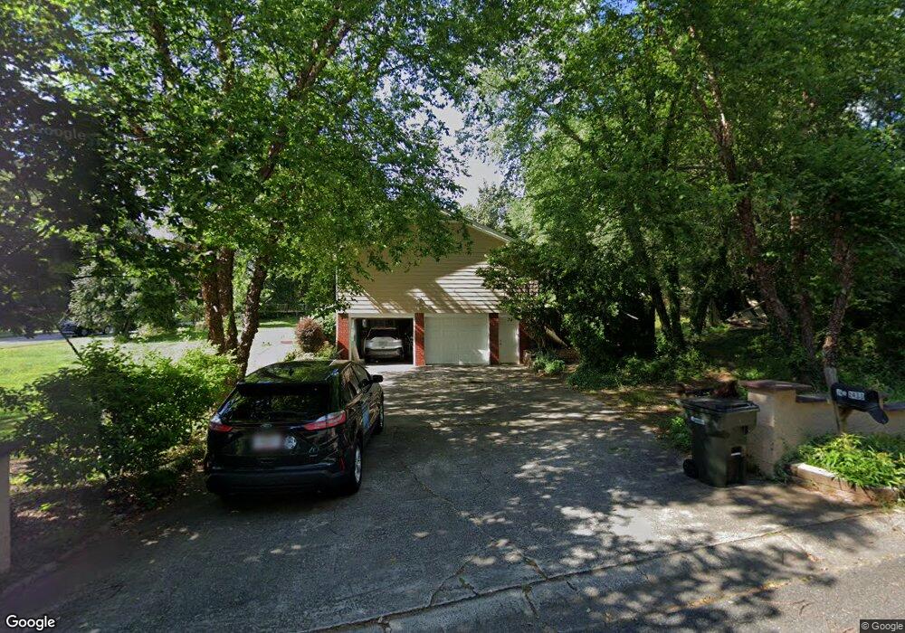
2433 Swanson Ct NE Marietta, GA 30066
Sandy Plains NeighborhoodEstimated Value: $405,059 - $464,000
4
Beds
3
Baths
1,803
Sq Ft
$241/Sq Ft
Est. Value
About This Home
This home is located at 2433 Swanson Ct NE, Marietta, GA 30066 and is currently estimated at $435,015, approximately $241 per square foot. 2433 Swanson Ct NE is a home located in Cobb County with nearby schools including Rocky Mount Elementary School, Simpson Middle School, and Lassiter High School.
Ownership History
Date
Name
Owned For
Owner Type
Purchase Details
Closed on
Jul 24, 2017
Sold by
Hidalgo Jonathan A
Bought by
Sarmiento Luz Nirian
Current Estimated Value
Purchase Details
Closed on
Nov 20, 2013
Sold by
Sarmiento Nirian
Bought by
Hidalgo Jonathan A
Purchase Details
Closed on
Apr 3, 1997
Sold by
Mcclure Mark W and Mcclure Deboarh L
Bought by
Chocoyo Serapio and Chocoyo Nirian
Home Financials for this Owner
Home Financials are based on the most recent Mortgage that was taken out on this home.
Original Mortgage
$85,880
Interest Rate
7.85%
Mortgage Type
New Conventional
Create a Home Valuation Report for This Property
The Home Valuation Report is an in-depth analysis detailing your home's value as well as a comparison with similar homes in the area
Home Values in the Area
Average Home Value in this Area
Purchase History
| Date | Buyer | Sale Price | Title Company |
|---|---|---|---|
| Sarmiento Luz Nirian | -- | -- | |
| Hidalgo Jonathan A | -- | -- | |
| Chocoyo Serapio | $90,400 | -- |
Source: Public Records
Mortgage History
| Date | Status | Borrower | Loan Amount |
|---|---|---|---|
| Previous Owner | Chocoyo Serapio | $85,880 |
Source: Public Records
Tax History Compared to Growth
Tax History
| Year | Tax Paid | Tax Assessment Tax Assessment Total Assessment is a certain percentage of the fair market value that is determined by local assessors to be the total taxable value of land and additions on the property. | Land | Improvement |
|---|---|---|---|---|
| 2025 | $1,060 | $157,328 | $34,000 | $123,328 |
| 2024 | $968 | $125,656 | $30,000 | $95,656 |
| 2023 | $762 | $125,656 | $30,000 | $95,656 |
| 2022 | $939 | $116,044 | $14,000 | $102,044 |
| 2021 | $2,155 | $80,012 | $14,000 | $66,012 |
| 2020 | $2,155 | $80,012 | $14,000 | $66,012 |
| 2019 | $2,428 | $80,012 | $14,000 | $66,012 |
| 2018 | $2,282 | $75,188 | $14,000 | $61,188 |
| 2017 | $1,597 | $55,536 | $14,000 | $41,536 |
| 2016 | $1,597 | $55,536 | $14,000 | $41,536 |
| 2015 | $1,628 | $55,260 | $14,000 | $41,260 |
| 2014 | $1,642 | $55,260 | $0 | $0 |
Source: Public Records
Map
Nearby Homes
- 2477 Bobbie Dr
- 3663 Heatherwood Dr NE
- 2403 Wistful Way
- 2415 Wistful Way
- 3851 Trickum Rd NE
- 3505 Bonaire Ct
- 2591 Sandy Dr
- 3150 Trickum Rd NE Unit LOT 1
- 3150 Trickum Rd NE
- 3287 Allegheny Dr
- 3122 Vandiver Dr
- 3090 Trickum Rd NE
- 3061 Sandy Plains Rd
- 3634 Stonehenge Way NE
- 3812 Havenrock Dr
- 3835 Rockhaven Ct
- 3060 Sandy Plains Rd
- 3816 Havenrock Dr
- 2443 Swanson Ct NE
- 2443 Swanson Ct NE Unit 2
- 2675 Thornberry Place
- 2673 Thornberry Place
- 3466 Trickum Rd NE
- 2671 Thornberry Place
- 3553 Trickum Rd NE
- 2451 Swanson Ct NE
- 2353 Kilkenny Way NE
- 2444 Swanson Ct NE
- 2669 Thornberry Place
- 2447 Durmire Ln NE
- 3456 Trickum Rd NE
- 2343 Kilkenny Way NE
- 2562 Last Gap Trail
- 2667 Thornberry Place
- 2674 Thornberry Place
- 3477 Sabrina Ct NE
- 2672 Thornberry Place
- 2467 Durmire Ln NE