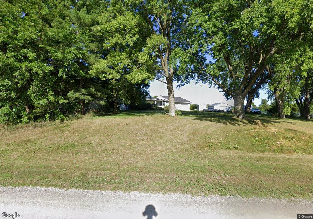
2434 Moline Rd Waterloo, IA 50703
Estimated Value: $250,000 - $357,000
4
Beds
2
Baths
1,744
Sq Ft
$187/Sq Ft
Est. Value
About This Home
This home is located at 2434 Moline Rd, Waterloo, IA 50703 and is currently estimated at $326,114, approximately $186 per square foot. 2434 Moline Rd is a home located in Black Hawk County with nearby schools including Highland Elementary School, George Washington Carver Academy, and East High School.
Ownership History
Date
Name
Owned For
Owner Type
Purchase Details
Closed on
Nov 6, 2020
Sold by
Parsons Scott G
Bought by
Parsons Deann K
Current Estimated Value
Purchase Details
Closed on
Jul 20, 2012
Sold by
Loy Betty Ann
Bought by
Parsons Scott G and Parsons Deann
Home Financials for this Owner
Home Financials are based on the most recent Mortgage that was taken out on this home.
Original Mortgage
$208,050
Interest Rate
3.65%
Mortgage Type
New Conventional
Create a Home Valuation Report for This Property
The Home Valuation Report is an in-depth analysis detailing your home's value as well as a comparison with similar homes in the area
Purchase History
We collect this data history from publicly available records. To have your information removed, we recommend requesting removal directly through your county’s website.
| Date | Buyer | Sale Price | Title Company |
|---|---|---|---|
| Parsons Deann K | -- | None Listed On Document | |
| Parsons Deann K | -- | None Listed On Document | |
| Parsons Scott G | -- | None Available |
Source: Public Records
Mortgage History
We collect this data history from publicly available records. To have your information removed, we recommend requesting removal directly through your county’s website.
| Date | Status | Borrower | Loan Amount |
|---|---|---|---|
| Previous Owner | Parsons Scott G | $208,050 |
Source: Public Records
Tax History
| Year | Tax Paid | Tax Assessment Tax Assessment Total Assessment is a certain percentage of the fair market value that is determined by local assessors to be the total taxable value of land and additions on the property. | Land | Improvement |
|---|---|---|---|---|
| 2025 | $3,776 | $306,930 | $72,000 | $234,930 |
| 2024 | $3,776 | $297,320 | $60,000 | $237,320 |
| 2023 | $2,898 | $297,320 | $60,000 | $237,320 |
| 2022 | $2,870 | $228,220 | $48,000 | $180,220 |
| 2021 | $2,860 | $228,220 | $48,000 | $180,220 |
| 2020 | $2,864 | $209,850 | $39,000 | $170,850 |
| 2019 | $2,864 | $209,850 | $39,000 | $170,850 |
| 2018 | $2,842 | $204,310 | $39,000 | $165,310 |
| 2017 | $2,842 | $204,310 | $39,000 | $165,310 |
| 2016 | $2,868 | $204,310 | $39,000 | $165,310 |
| 2015 | $2,868 | $204,310 | $39,000 | $165,310 |
| 2014 | $2,914 | $204,310 | $39,000 | $165,310 |
Source: Public Records
Map
Nearby Homes
- Lots Lakeside St
- 2556 Logan Ave
- 736 Sherman Ave
- 626 Boston Ave
- 617 Boston Ave
- 20+ Acres Corner of Airline and Logan
- 314 Lester St
- 2207 E 4th St
- 3429 Logan Ave
- 303 E Arlington St
- Lot 13, 14, 15 Gable St
- 1317 Logan Ave
- 503 W Dale St
- 117 Sherman Ave
- 516 Cutler St
- 230 Gable St
- 406 Litchfield Ave
- 714 Quincy St
- 332 Newell St
- 101 Ricker St
- 2435 Moline Rd Unit 2523
- 2153 Moline Rd
- 961 E Donald St
- 955 E Donald St
- 938 E Airline Hwy
- 949 E Donald St
- 945 E Donald St
- 931 E Donald St
- 937 E Donald St
- 930 E Airline Hwy
- 919 E Donald St
- 913 E Donald St
- 901 E Donald St
- 732 E Airline Hwy Unit 740
- 4062 Niles St
- 4058 Niles St
- 801 E Airline Hwy
- 4052 Niles St
- 4040 Niles St
- 2920 Bedard Dr
Your Personal Tour Guide
Ask me questions while you tour the home.