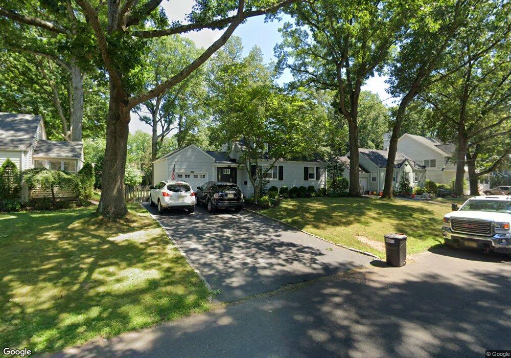
2436 Hill Rd Scotch Plains, NJ 07076
Estimated Value: $459,728 - $890,000
--
Bed
--
Bath
1,125
Sq Ft
$629/Sq Ft
Est. Value
About This Home
This home is located at 2436 Hill Rd, Scotch Plains, NJ 07076 and is currently estimated at $707,182, approximately $628 per square foot. 2436 Hill Rd is a home located in Union County with nearby schools including Howard B. Brunner Elementary School, Nettingham Middle School, and Scotch Plains-Fanwood High School.
Ownership History
Date
Name
Owned For
Owner Type
Purchase Details
Closed on
Apr 29, 2002
Sold by
Korogodsky Alexander and Korogodsky Maria
Bought by
Cunningham Declan and Cunningham Tracianne
Current Estimated Value
Home Financials for this Owner
Home Financials are based on the most recent Mortgage that was taken out on this home.
Original Mortgage
$200,000
Outstanding Balance
$85,639
Interest Rate
7.13%
Estimated Equity
$621,543
Purchase Details
Closed on
Aug 31, 1995
Sold by
Eck Robert Christian and Eck Dominique
Bought by
Korogodsky Alexander and Korogodsky Maria
Create a Home Valuation Report for This Property
The Home Valuation Report is an in-depth analysis detailing your home's value as well as a comparison with similar homes in the area
Home Values in the Area
Average Home Value in this Area
Purchase History
| Date | Buyer | Sale Price | Title Company |
|---|---|---|---|
| Cunningham Declan | $282,250 | Chicago Title Insurance Co | |
| Korogodsky Alexander | $177,000 | Chicago Title Insurance Co |
Source: Public Records
Mortgage History
| Date | Status | Borrower | Loan Amount |
|---|---|---|---|
| Open | Cunningham Declan | $200,000 |
Source: Public Records
Tax History Compared to Growth
Tax History
| Year | Tax Paid | Tax Assessment Tax Assessment Total Assessment is a certain percentage of the fair market value that is determined by local assessors to be the total taxable value of land and additions on the property. | Land | Improvement |
|---|---|---|---|---|
| 2025 | $10,532 | $89,500 | $36,000 | $53,500 |
| 2024 | $10,222 | $89,500 | $36,000 | $53,500 |
| 2023 | $10,222 | $89,500 | $36,000 | $53,500 |
| 2022 | $10,100 | $89,500 | $36,000 | $53,500 |
| 2021 | $10,083 | $89,500 | $36,000 | $53,500 |
| 2020 | $10,035 | $89,500 | $36,000 | $53,500 |
| 2019 | $9,960 | $89,500 | $36,000 | $53,500 |
| 2018 | $9,793 | $89,500 | $36,000 | $53,500 |
| 2017 | $9,576 | $89,500 | $36,000 | $53,500 |
| 2016 | $9,391 | $89,500 | $36,000 | $53,500 |
| 2015 | $9,237 | $89,500 | $36,000 | $53,500 |
| 2014 | $8,933 | $89,500 | $36,000 | $53,500 |
Source: Public Records
Map
Nearby Homes
- 869 Ternay Ave
- 2286 Stocker Ln
- 2406 Park Place
- 2314 Longfellow Ave
- 2398 Hamlette Place
- 2219 North Ave Unit 6
- 2269 Redwood Rd
- 350 W Dudley Ave
- 143 Stanmore Place
- 4 Lois Place
- 9 Timberline Dr
- 2588 Liberty Ave
- 2116 Newark Ave
- 24 Deborah Way
- 26 Riga Ct Unit 3A
- 16 Riga Ct Unit 2B
- 7 Riga Ct
- 21 Old South Ave
- 345 La Grande Ave
- 177 Pleasant Ave